A free, easy hike just off Highway 62 delivers one of the tallest waterfalls in the state — and almost nobody stops
Hundreds of thousands of people drive Highway 62 every year on their way to Crater Lake. Almost none of them stop at Prospect — and that’s a shame, because a free, easy half-mile hike off that same highway leads to one of the tallest waterfalls in Oregon.
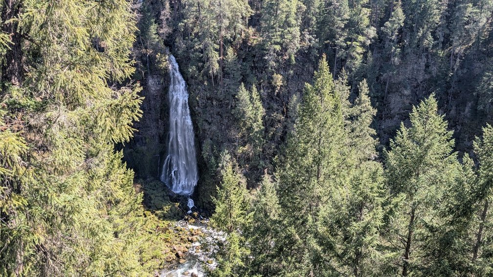
Barr Creek Falls drops 240 feet in three dramatic tiers into the Rogue River Gorge. The final plunge alone — a 150-foot free-fall over a cliff of petrified volcanic ash — is the kind of thing people drive across the state specifically to see. There’s no fee, no permit, no crowd. Just an unguarded canyon rim viewpoint shaded by madrone trees and one of the most underrated waterfall views in Southern Oregon.
What Makes Barr Creek Falls Different
Most tall waterfalls in Oregon are thundering, muscular affairs. Barr Creek is different. Because the creek doesn’t carry enormous volume, the falls transform with the season: a powerful, mist-generating torrent in spring; a gossamer veil by late summer. Either way, it’s striking.
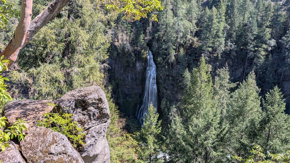
The name itself has a great backstory. Barr Creek was named for a cattle bar — a fence built to keep livestock from wandering off the Red Blanket Ranch and into the canyon. You’re standing above a waterfall named after a cattle fence. Oregon is full of stories like this.
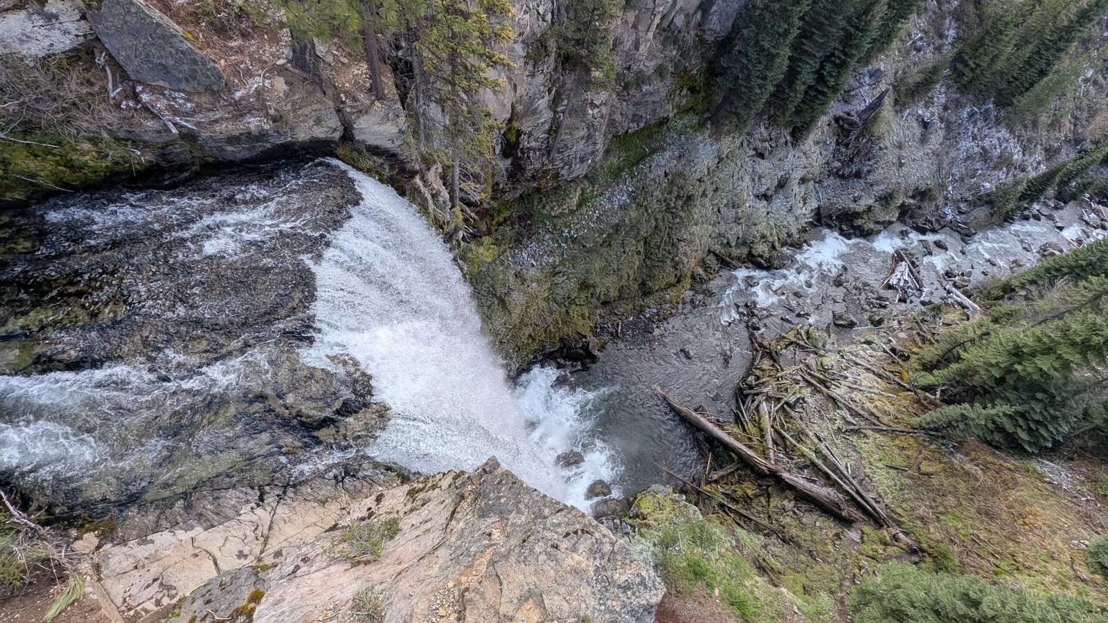
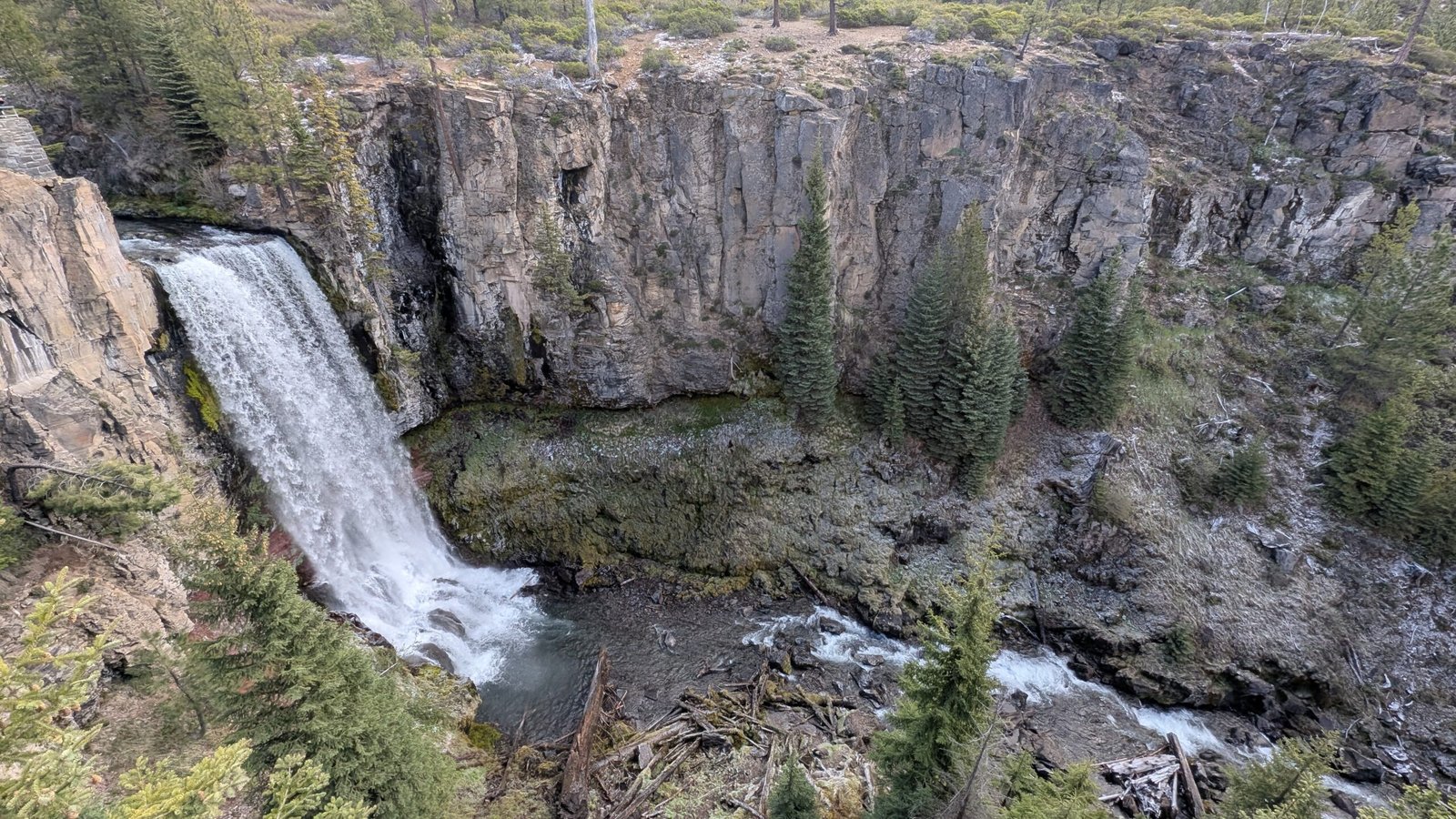
The falls share the same cliff system as the adjacent Mill Creek Falls (173 ft) — a powerful plunge just a quarter mile up the trail. You pass Mill Creek on your way to Barr Creek, which means this short hike delivers two of Jackson County’s tallest waterfalls back to back, no extra effort required.
The Hike: 1.5 Miles, Free Parking, Dogs Welcome
The Mill Creek Falls Trailhead sits just off Mill Creek Drive, a few minutes south of Prospect on Highway 62. Free parking, a trail map board, picnic tables, and a portable toilet are all at the trailhead.
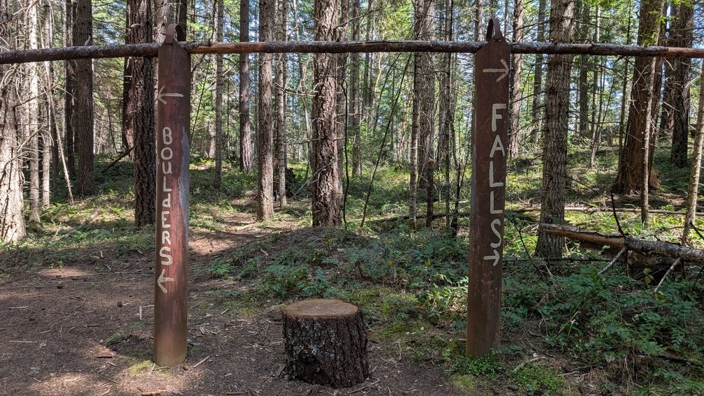
From there, the trail descends half a mile on a wide old fire road to the canyon rim viewpoints. Take the right fork at the junction for the waterfalls — left fork leads to the Avenue of the Giant Boulders, house-sized volcanic rocks deposited by the Mazama eruption 7,700 years ago. Do both if you have time; the full loop is still only 1.5 miles.
⚠️ One real caution: the viewpoints here are unfenced, with steep cliff drops. The rocks near the falls are misted and genuinely slippery. Stay back from edges and keep kids and dogs close — this area has seen serious accidents.
Best time to visit: Spring through early summer for the most powerful flow. The falls run year-round but are most dramatic from March through June. In a cold winter, the falls can partially freeze for extraordinary photos.
Make It a Full Day
Barr Creek Falls is the headliner, but it’s not the whole show. The Prospect area packs more waterfall density into a small area than almost anywhere else in Southern Oregon. Add Pearsoney Falls and Prospect Falls for a four-waterfall day — all within a few miles of each other, all free. Full itinerary in our Prospect waterfall day trip guide.
Crater Lake is 35 miles north. Beckie’s Cafe in Union Creek — a beloved Highway 62 institution since 1926 — is 5 miles north. There’s no reason to drive past this one.
Tags: Southern Oregon waterfalls, Barr Creek Falls, Prospect Oregon, best waterfall hikes Oregon, Jackson County waterfalls, free hikes Southern Oregon, waterfalls near Crater Lake, Rogue River, Oregon hidden gems