
Profile
Overview
- Location: Jackson County, Southern Oregon (Rogue River near Trail)
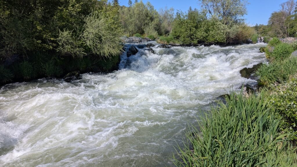
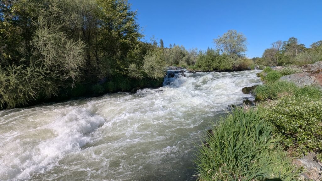
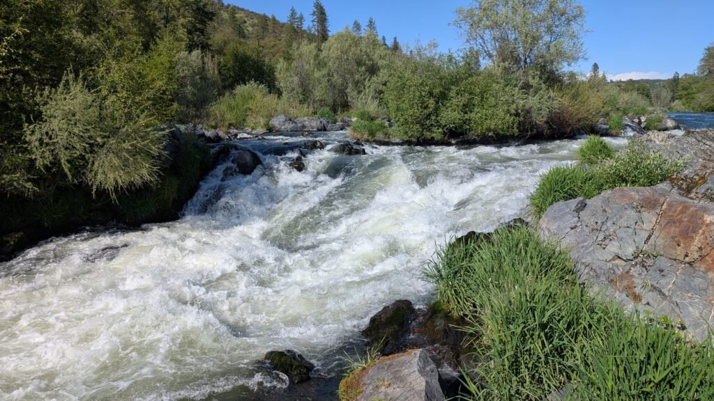
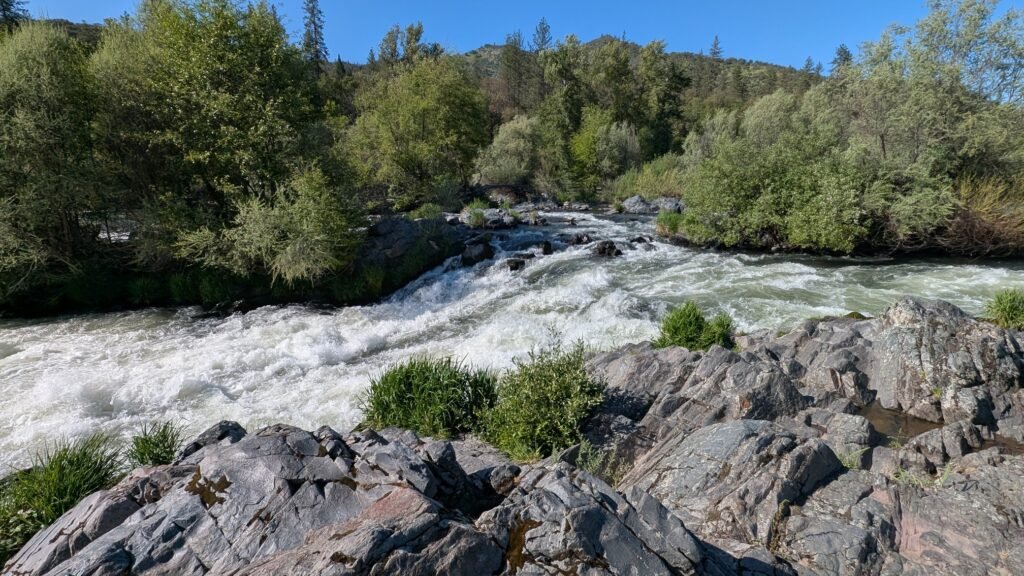
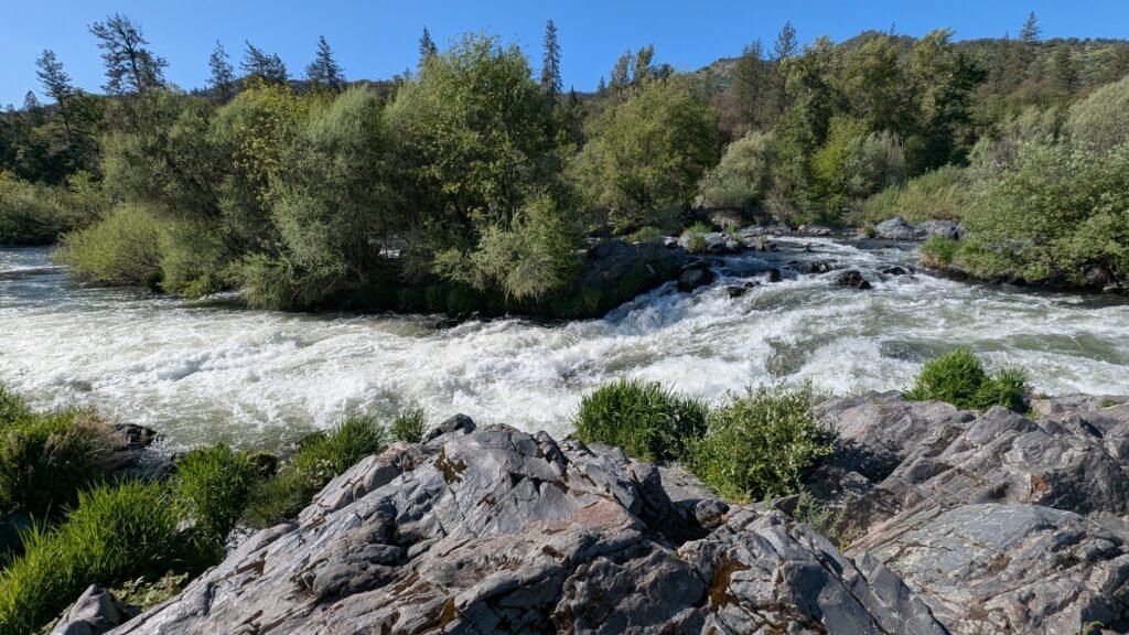
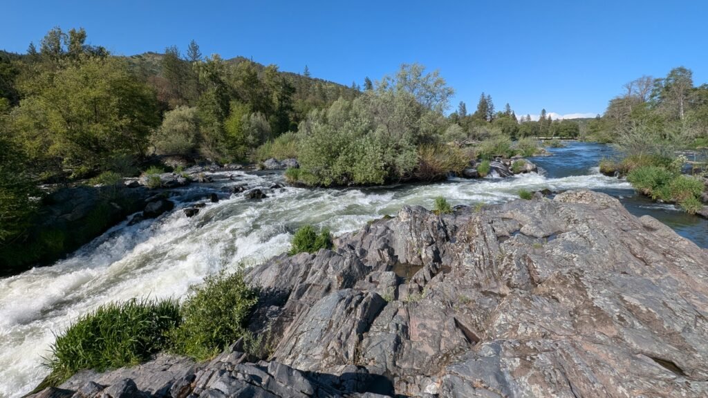
- Waterfall Type: Cascade
- Height: ~15 feet (5 m)
- Trail Distance: ~1 mile round-trip via short riverside trail
- Difficulty: Easy
- Best Time to Visit: Year-round
History & Background
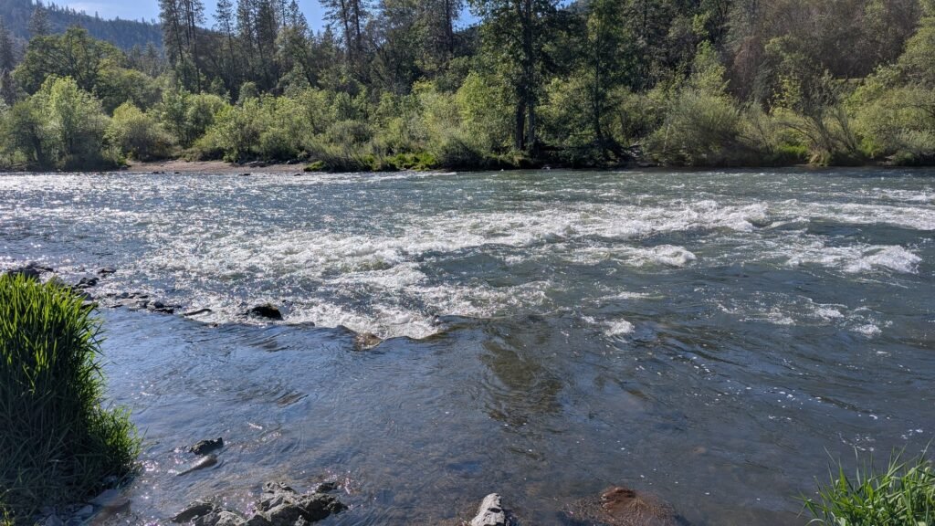
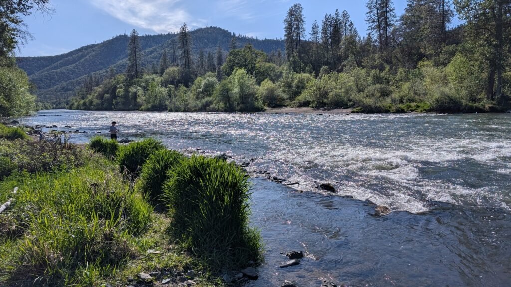
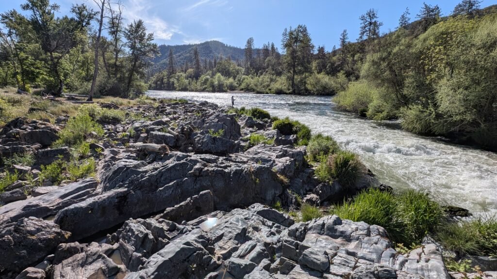
Dillon Falls in Jackson County is a small cascade on the Rogue River near the community of Trail, not to be confused with the much larger Dillon Falls on the Deschutes River near Bend. This section of the upper Rogue River flows through a designated recreational corridor with a long history of recreational use. The Rogue River has been a focal point of southern Oregon life for thousands of years—the Takelma people and their ancestors fished these waters for salmon and steelhead, and the river remains central to the identity and economy of the Rogue Valley. The upper Rogue corridor near Trail offers quieter access to the river compared to the heavily visited downstream sections.
Geology
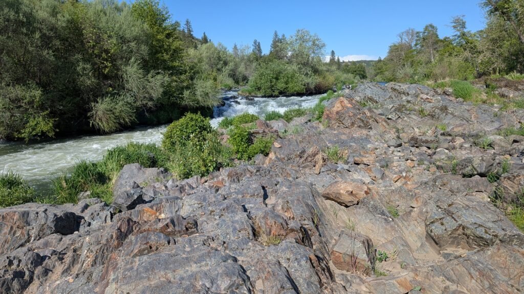
This Dillon Falls cascades over a ledge of volcanic rock on the Rogue River at approximately 4,034 feet elevation in the upper Rogue watershed. The upper Rogue flows through a landscape shaped by the volcanic history of the southern Oregon Cascades, including lava flows from the Mount Mazama eruption that formed Crater Lake approximately 7,700 years ago. The river cuts through a mix of volcanic and older metamorphic rocks as it descends from the Cascade highlands toward the Medford Valley. Surrounding mixed conifer forest of ponderosa pine, Douglas fir, and white fir reflects the drier, higher-elevation conditions of the upper Rogue basin.
Directions & Access
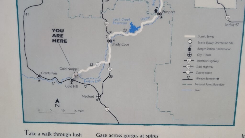
- Nearest City: Trail, OR; Medford, OR (~35 miles west)
- Trail Information:
- Dillon Falls is easy to see from two waysides just off Rogue-Umpqua Scenic Byway just north of Gold Hill. However your best views will be on the other side of the river.
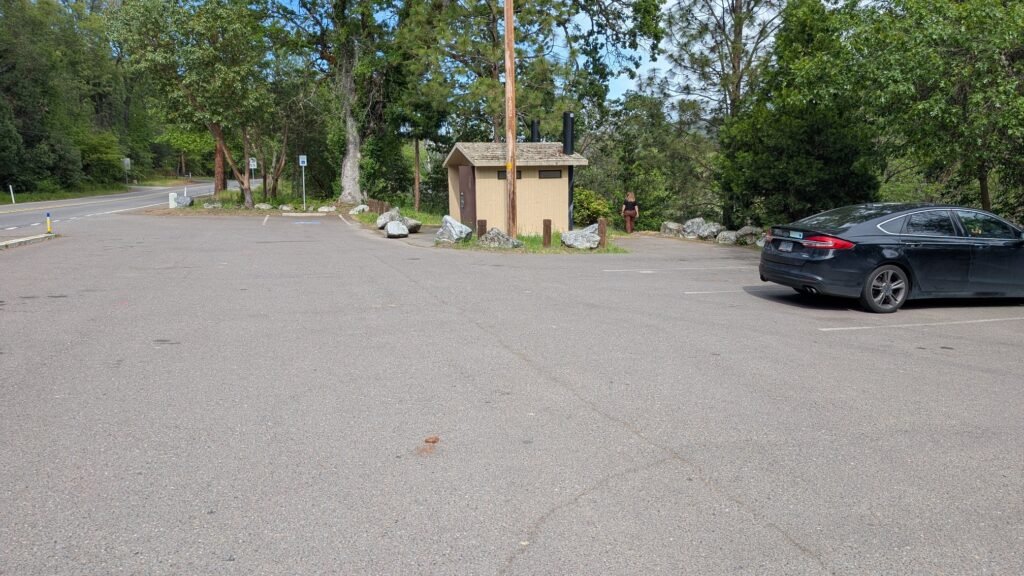
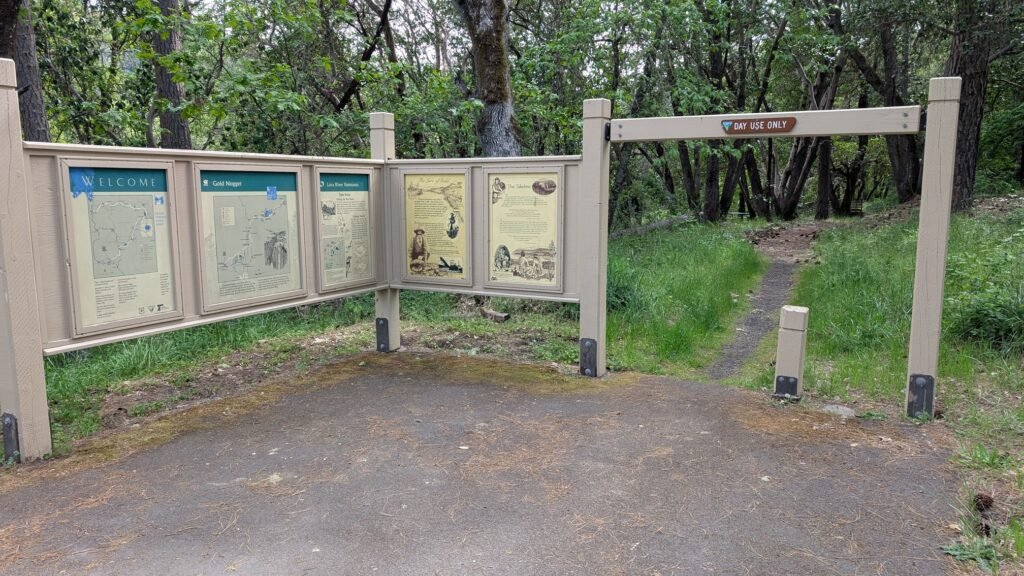
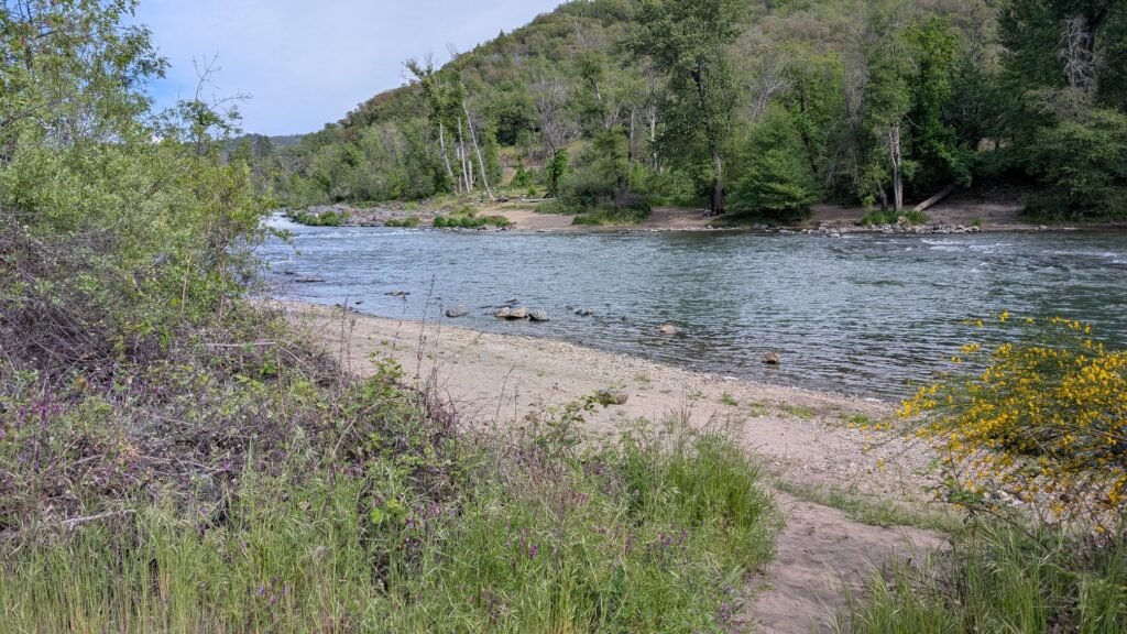
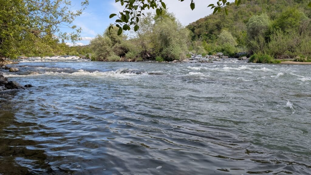
- To access from the west you can get a poor view of the lower falls from the Gold Nugget Wayside parking lot. A short walk down an unmaintained dirt trail will take you to some great fishing spots, and mediocre views of the falls.
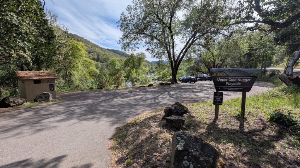
- A second view can be had from the Upper Gold Nugget wayside parking lot just north of the first parking lot. This is a pretty location and a great view of the river and the upper section of the falls, however most of the rapids will be blocked from this vantage point. A short hike down a dirt trail will take you to the river and a small pool.
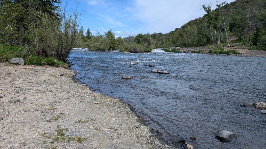
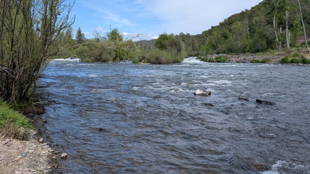
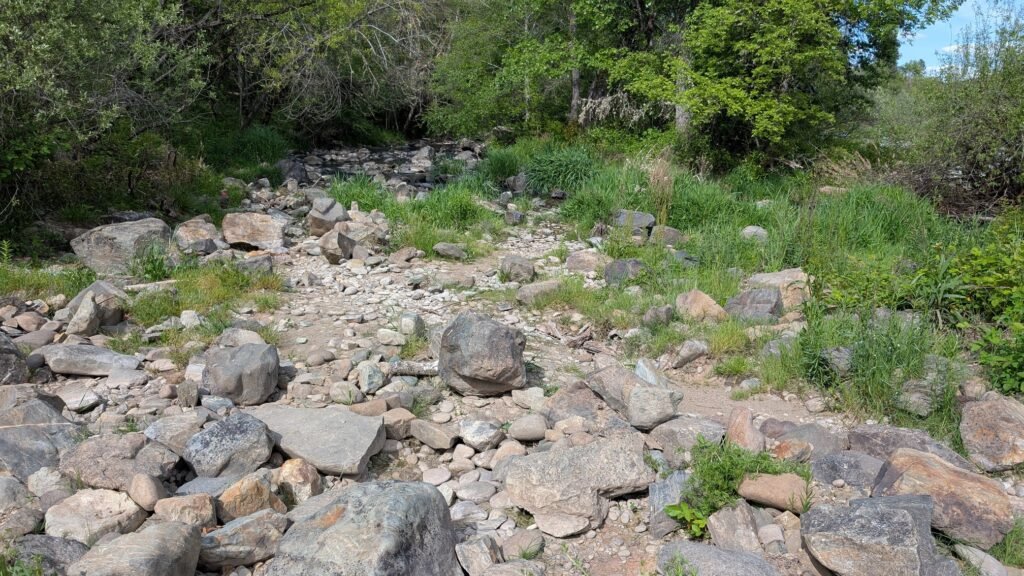
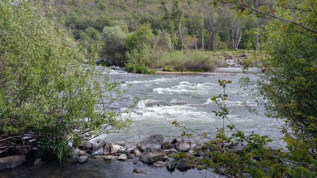
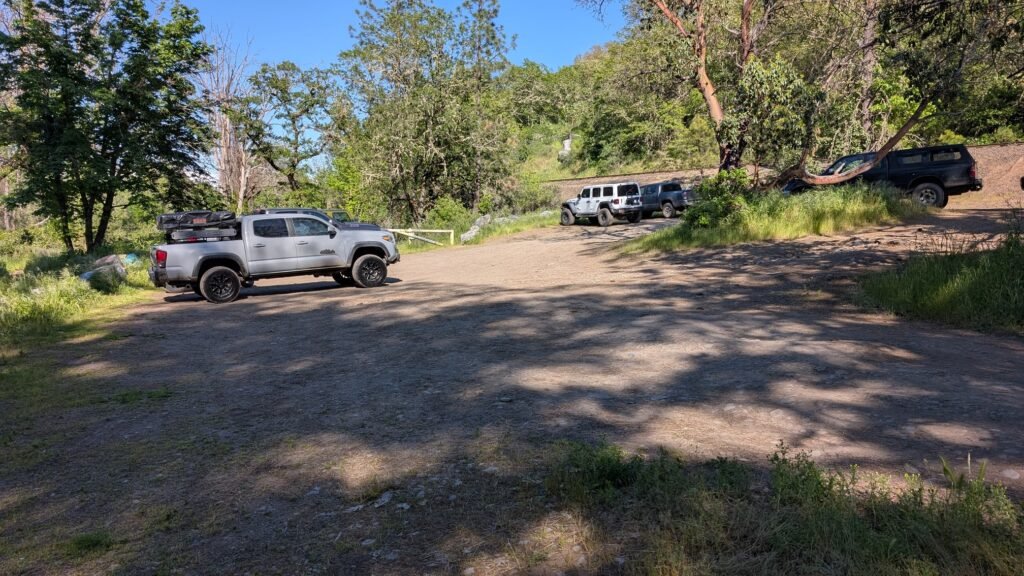
- For the best views of the Dillon Falls head over to the other side of the river, following the road back into Gold Hill, cross the bridge, and head north on Upper River Road. From here you’ll pass the Ti’lomikh Falls viewpoint, continue driving north until you reach the railroad tracks. You will turn off the road here and follow a rough unmaintained dirt that follows the tracks. Keep in mind this road is rough, however short, and you may need 4×4 or a high clearance vehicle to reach the parking lot. It’s an easy walk though if the trail conditions are poor or you don’t have a high clearance vehicle. Once you reach the unmarked parking lot, follow one of the trails towards the river. These will be the vest view of the lower falls which will be rushing during the spring.
- Parking:
- Small parking area near the trailhead on the Rogue River recreational corridor; no parking fee.
- Accessibility:
- Mostly flat riverside trail; relatively accessible for most visitors
Best Time to Visit
- Spring: High river flows from Cascade snowmelt; powerful cascade; spring wildflowers along the river bank
- Summer: Lower flows but pleasant river corridor; popular for fishing; warm southern Oregon conditions
- Fall: Fall Chinook salmon run visible in the river; beautiful fall forest along the upper Rogue
- Winter: Moderate flows; mild upper Rogue valley winters; accessible year-round
Nearby Attractions
- Natural Bridge (Rogue River, ~15 miles east)
- Prospect State Scenic Viewpoint
- Mill Creek Falls (Prospect)
- Rogue River-Siskiyou National Forest
- Crater Lake National Park (~40 miles northeast)
References
- Links:
- Books:
- Oregon Waterfalls by Greg Plumb
- Waterfall Lover’s Guide: Pacific Northwest


Map
Sorry, no records were found. Please adjust your search criteria and try again.
Sorry, unable to load the Maps API.