
Profile
Overview
Location: Deschutes County, Newberry National Volcanic Monument (Paulina Creek, just west of Paulina Lake — ~35 miles south of Bend)
Waterfall Type: Plunge
Height: ~80 feet (24 m) — twin plunges descending side by side over volcanic cliffs
Trail Distance: 0.5 miles round-trip via the main Paulina Falls Trail; three distinct viewpoints available at varying distances
Difficulty: Easy (78% of AllTrails reviewers say easy; paved trail with switchbacks; 114 ft elevation gain)
Best Time to Visit: Late spring through fall; Paulina Lake Road typically open late May through October
Also see: McKay Falls — Paulina Creek’s smaller cascade downstream, worth combining on the same visit
History & Background
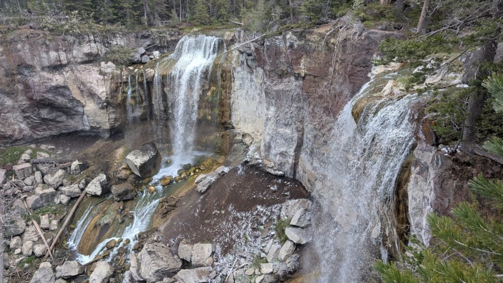
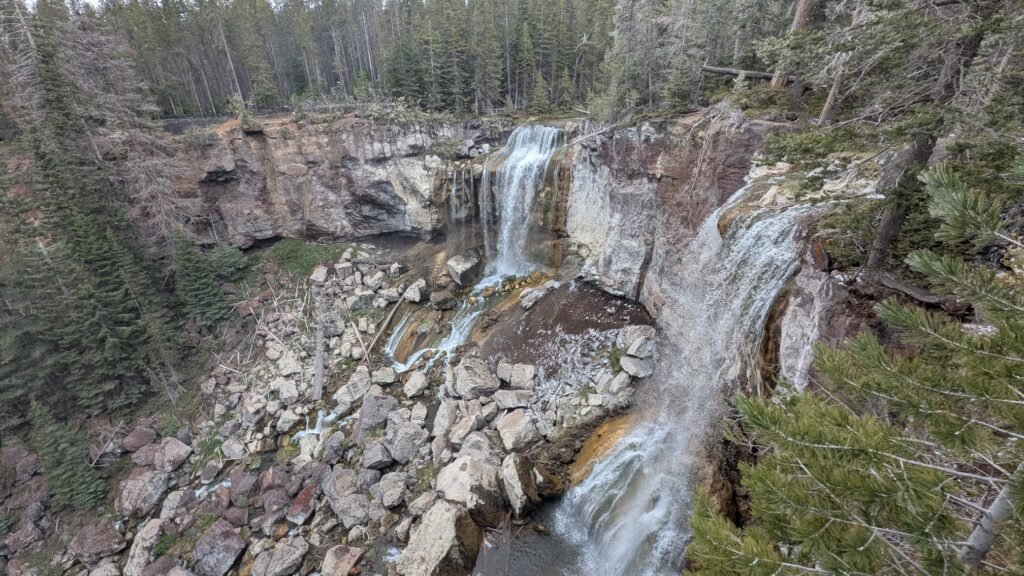
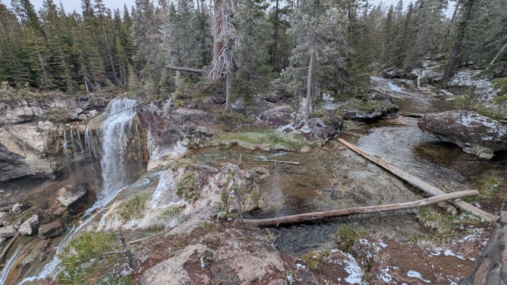
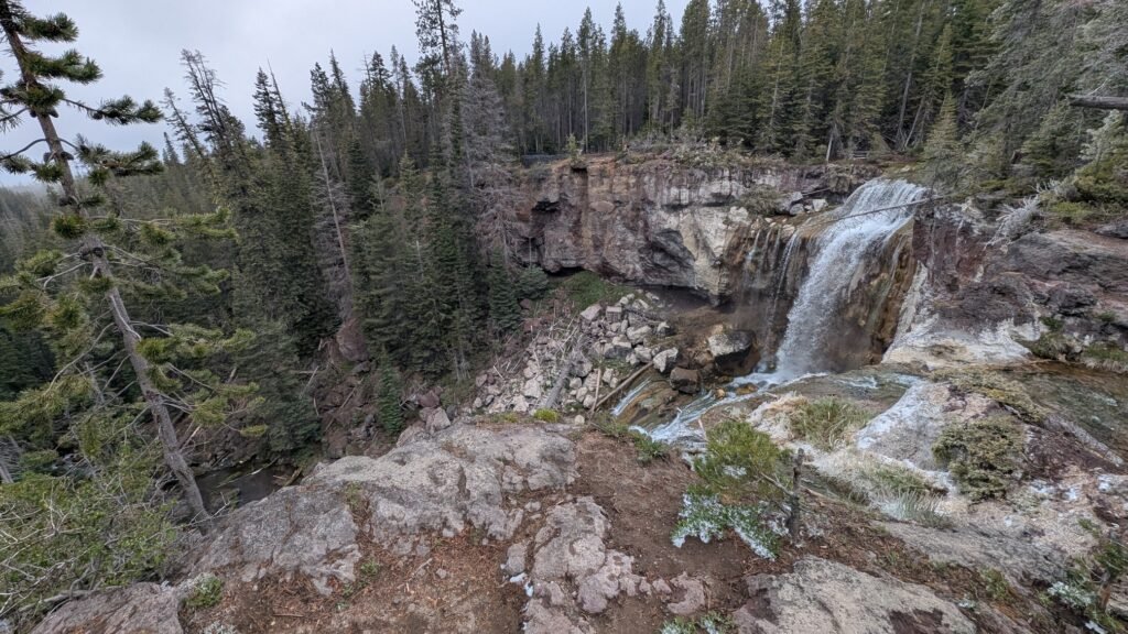
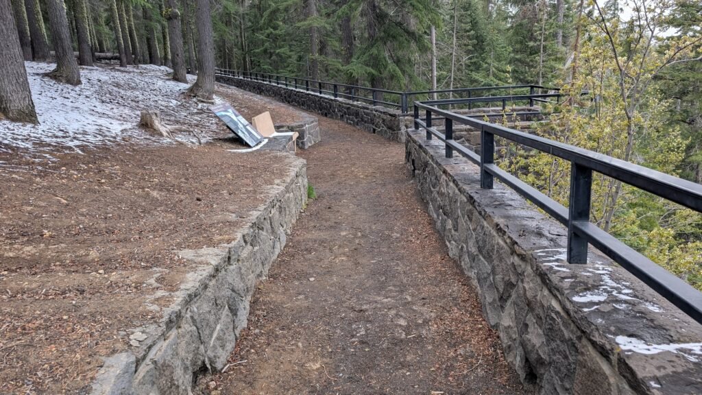
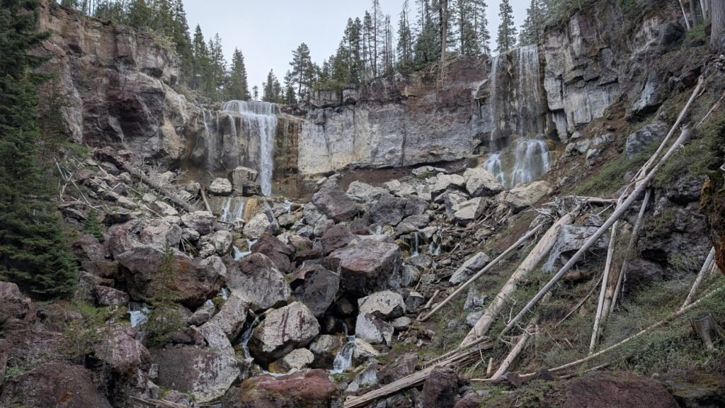
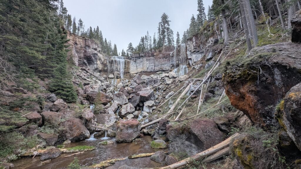
Paulina Creek Falls is one of the most spectacular and accessible waterfalls in Central Oregon — an 80-foot double plunge at the very rim of Newberry Volcano’s caldera, where Paulina Creek launches over the edge of the ancient crater wall and drops in twin columns onto the volcanic rocks below. Located just west of Paulina Lake and outside the Newberry Caldera proper, the falls are set in a thicket of majestic conifer species and drop 80 feet over volcanic cliffs onto a jumble of rocks below. It is one of relatively few places in Oregon where you can stand at an overlook with informational signs, a stone wall guardrail, and a paved path underfoot — and look out at a waterfall that genuinely earns superlatives.
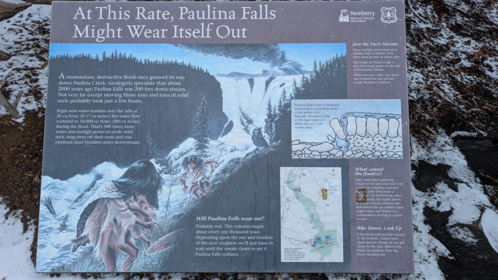
Paulina Lake is one of two crater lakes inside Newberry Caldera, located about 25 miles south of Bend. The Newberry Caldera encircles the basins of Paulina and East Lakes and is nearly 5 miles in diameter. This collapsed caldera is the result of more than 500,000 years of volcanic activity. Paulina Creek drains this lake and has chiseled a narrow gorge through the caldera’s west wall creating this remarkable twin waterfall.
The Newberry National Volcanic Monument was established in 1990 to protect this extraordinary landscape. The Newberry Crater was formed 500,000 years ago by the gradual collapse of the central portion of a 25-mile-wide, 9,000-foot-high mountain. The most recent eruption, approximately 1,300 years ago, created the Big Obsidian Flow — the largest obsidian flow in North America, visible to the south of Paulina Lake and accessible via a short interpretive trail. The Paiutes quarried and traded this obsidian across the Pacific Northwest for centuries; today it is so sharp it is used for surgical blades in Europe.
Paulina Creek continues its descent from the falls through a 2,000-foot canyon to the high desert below, passing McKay Falls approximately 4 miles downstream at McKay Crossing Campground — a 60-foot cascade worth combining with this visit.
A note on pronunciation
Paulina — the falls, the creek, the lake, and the peak — is pronounced paw-LYE-nuh, with the stress on the second syllable and a long “I” sound, like “eye.” Not like the name Paula, and not paw-LEE-nuh. The lake, creek, and falls are named for Chief Paulina, a Northern Paiute war leader whose actual Paiute name was Pahninee. He led the Hunipuitoka band’s resistance against encroachment on their lands throughout the 1860s, and this entire corner of Central Oregon’s volcanic highlands bears his name. If you say it correctly, the locals will know you’ve done your homework.
Geology
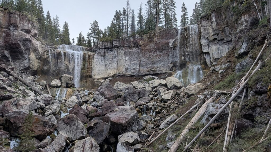
Paulina Creek Falls plunges 80 feet in two separate drops over rhyolitic volcanic rock at approximately 6,331 feet elevation — the western rim of Newberry Volcano’s caldera. The twin character of the falls reflects two parallel channels in the volcanic cliff, each carrying a portion of the creek’s flow in side-by-side plunges. The upper drop is the taller and more powerful of the two; the lower drop is partially hidden from the main overlook but visible from the base viewpoint. Paulina Lake, at 250 feet deep, is the caldera’s larger and deeper lake; the creek’s outflow from the lake maintains the relatively consistent year-round flow that feeds the falls. Glassy obsidian fragments — carried downslope from the Big Obsidian Flow above — are visible along the trail.
The Three Viewpoints
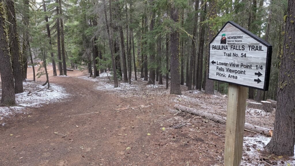
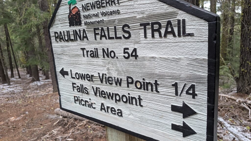
Paulina Creek Falls can be experienced from three distinct perspectives, each offering a different character. For a detailed description of all three viewpoints, see the Oregon Hikers field guide to Paulina Creek Falls.
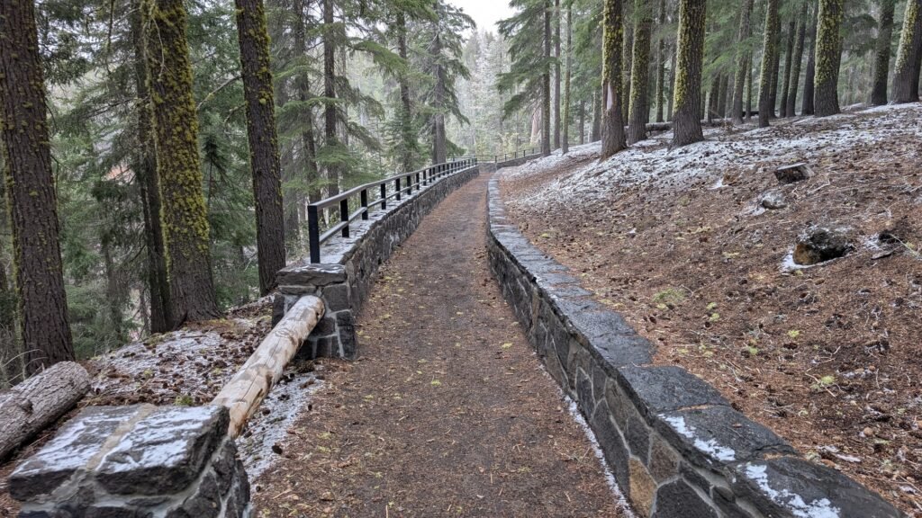
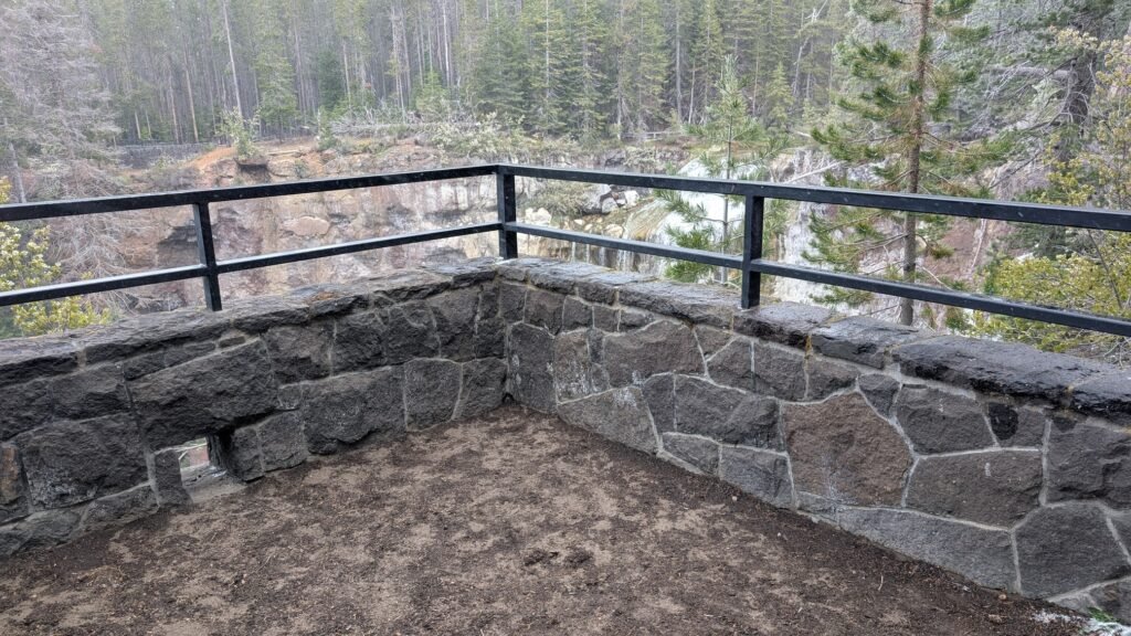
Viewpoint 1 — Day Use Area Overlook (main viewpoint, recommended for most visitors): The primary and most accessible viewpoint. A wide, paved trail from the Paulina Falls Day Use Area leads to a stone-wall guardrail overlook with informational signs and a full frontal view of both falls. Essentially flat; suitable for most visitors including families with young children. This is the classic Paulina Creek Falls photograph.
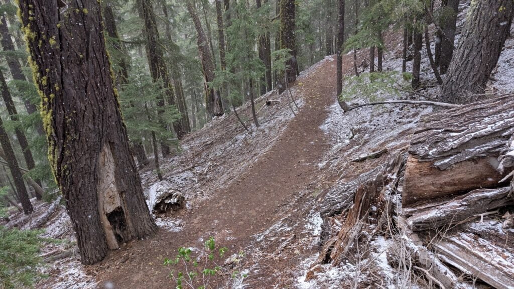
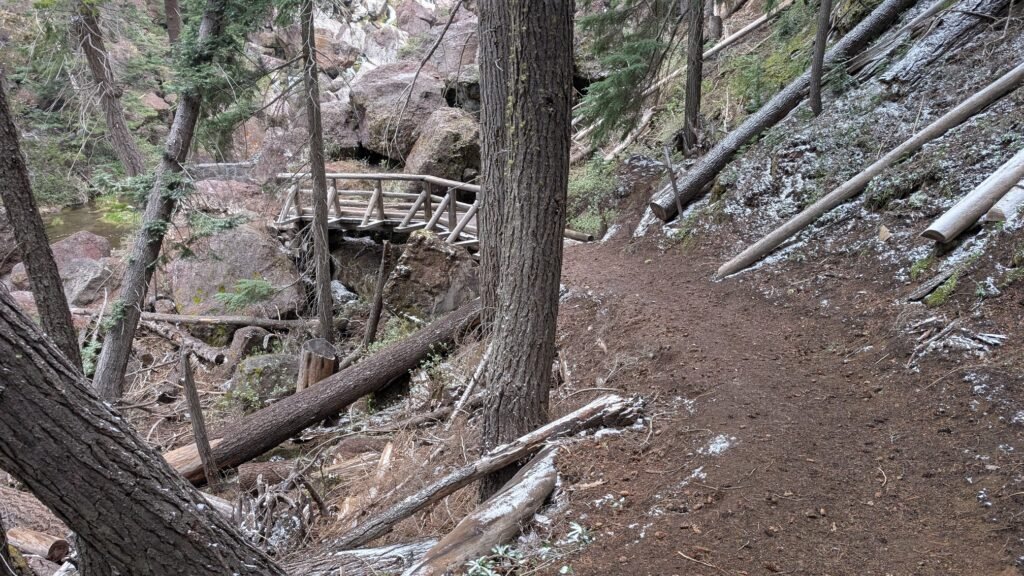
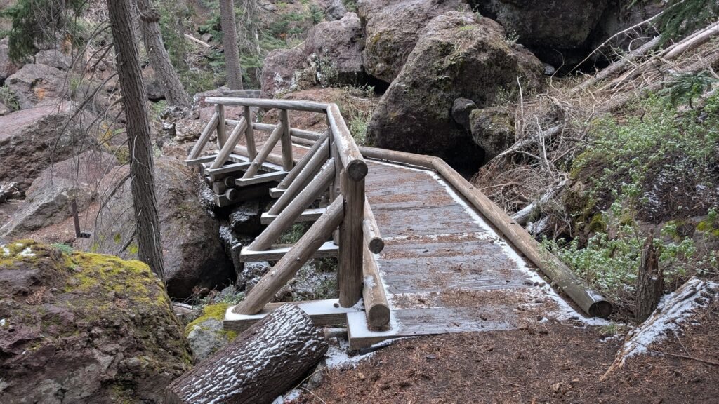
Viewpoint 2 — Base of the Falls (steep trail, 0.5 miles round-trip): A second trail descends to the base of the falls via well-maintained but steep switchbacks through mossy ponderosa and lodgepole pine forest — 114 ft of elevation change in 0.25 miles. This is the trail AllTrails tracks. The descent is manageable going down; some reviewers note the return climb can be challenging at 6,300 feet elevation if you’re not acclimatized. The base gives a dramatically different and more intimate perspective of both falls.
⚠️ Important note: The boulder field at the base of the falls is marked closed for restoration. While some visitors ignore these signs, please respect the closure. Do not attempt to scramble across the boulders to the falls base.
Viewpoint 3 — Paulina Lake side trail (~1 mile round-trip from Paulina Lake): A third angle on the falls is available by parking near Paulina Lake and walking the Peter Skene Ogden Trail west to a viewpoint on the far side of the falls — approximately 1 mile round-trip with under 100 feet of elevation change. This gives a side-on perspective looking across the falls rather than facing them directly. A recent AllTrails reviewer called it “quite lovely” and worth the short additional walk if you’re already visiting the lake.
Directions & Access
Nearest City: La Pine, OR (~15 miles west); Bend, OR (~35 miles northwest)
Getting There: From Bend, travel 23.5 miles south on Highway 97, then turn left (east) on Paulina Lake Road (County Road 21). Drive 12.3 miles to the Paulina Falls Day Use Area on the left. Parking lot location — Google Maps
Seasonal note: Paulina Lake Road is closed in winter due to snow. Check USFS Deschutes alerts for current road status. The road typically opens late May or early June.
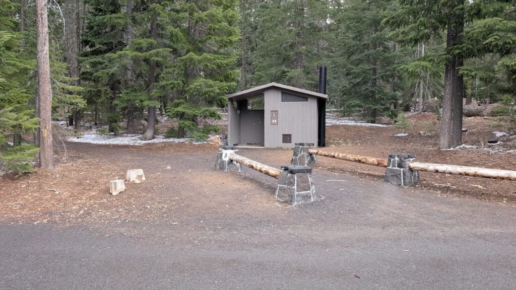
Parking: Medium-sized parking lot at the Paulina Falls Day Use Area. A recreation pass is required — Northwest Forest Pass ($5/day, $30/annual), America the Beautiful Pass, or equivalent. Day use only; no overnight camping at the Day Use Area. Vault toilet on site; no potable water. Arrive early on summer weekends.
Facilities: Picnic tables at the Day Use Area; vault toilet; no drinking water. Paulina Lake Lodge (seasonal) is 0.5 miles east on the Paulina Lake Road and has food service, boat rentals, and restrooms.
Accessibility: The main overlook trail is paved and accessible for most visitors. The steep lower trail is not wheelchair accessible. Dogs permitted on leash.
Best Time to Visit
Spring (late May–June): Snowmelt feeds the falls at their most powerful; road opens late May or June depending on snowpack; the caldera feels fresh and uncrowded; obsidian chips visible in the volcanic soil.
Summer (July–August): Prime season; the full Newberry Monument experience is in full swing; parking lot fills on summer weekends — arrive early; Paulina Lake Lodge open for meals and boat rentals.
Fall (September–October): Excellent conditions; still good flow from the lake outflow; crowds thin after Labor Day; road typically closes with first major snowfall in October; snow on the ground in late October adds drama.
Winter: Road closed; falls accessible only by snowshoe or ski from the 10 Mile Sno-Park on Hwy 97 (~6 miles one-way to the falls).
Day Trip Side Quests
Paulina Creek Falls is the anchor of a full and remarkable day in the monument:
McKay Falls — 4 miles downstream from Paulina Creek Falls on Paulina Creek, at McKay Crossing Campground. A beautiful 60-foot cascade on the Peter Skene Ogden Trail corridor with a visitor-built swimming pool at the base. Access via a 2.1-mile well-maintained dirt road off Paulina Lake Road. An easy addition to any visit.
Big Obsidian Flow Trail — Do not skip this. A 0.7-mile interpretive trail across the largest obsidian flow in North America, created approximately 1,300 years ago in Newberry’s most recent eruption. The Paiutes traveled here for centuries to harvest this volcanic glass, which has a cutting edge sharper than surgical steel. The trail is paved through the obsidian field with informational signs. Strenuous in direct sun; wear sunscreen.
Paulina Lake — Kayaking, paddleboarding, and fishing for large brown trout and kokanee salmon in a caldera lake at 6,331 feet. Thermal vents along the northeast shore warm sections of the water. Boat rentals at Paulina Lake Lodge. The 7-mile Paulina Lakeshore Loop trail offers a full circumnavigation of the lake.
East Lake and East Lake Hot Springs — A second crater lake 3 miles east of Paulina Lake, with natural geothermal hot springs emerging from the lakebed and visible along the southeast shore when water levels are low. The hot springs mix with the cold lake water for a distinctive soak.
Paulina Peak (~7,984 ft) — The highest point on the caldera rim, accessible by scenic road or 6-mile round-trip trail. Panoramic views of the Cascades, the caldera, and the high desert below. On a clear day, Mount Jefferson, Three Sisters, Broken Top, Mount Bachelor, and Crater Lake’s Rim are all visible.
Nearby Attractions
- McKay Crossing Campground and McKay Falls
- Peter Skene Ogden Trail (8.5 miles one-way from McKay Crossing to Paulina Lake)
- Newberry National Volcanic Monument Visitor Center
- Lava River Cave (~15 miles north of Paulina Lake Road on Hwy 97)
- Sunriver Resort (~20 miles north)
- La Pine State Park
References
-
Links:
- USFS Deschutes — Paulina Falls Day Use Area (current conditions)
- USFS Deschutes — Newberry National Volcanic Monument
- AllTrails — Paulina Falls Trail
- Oregon Hikers — Paulina Creek Falls Hike (all three viewpoints)
- Oregon Discovery — Paulina Lake and Newberry Caldera
Books:
- Waterfall Lover’s Guide: Pacific Northwest by Greg Plumb
Map
Sorry, no records were found. Please adjust your search criteria and try again.
Sorry, unable to load the Maps API.