
Profile
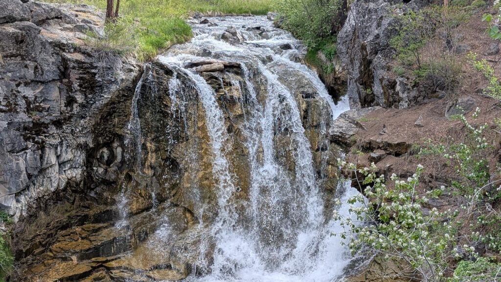
McKay Falls
Overview
Location: Deschutes County, Newberry National Volcanic Monument (Paulina Creek, near McKay Crossing Campground — ~35 miles south of Bend)
Waterfall Type: Cascade
Height: ~60 feet (18 m)
Trail Distance: ~0.1 miles from the campground road to the falls viewpoint; 2.1 miles on a well-maintained dirt road from Paulina Lake Road to the campground
Difficulty: Easy
Best Time to Visit: Late spring through fall; Paulina Lake Road typically open late May through October
History & Background
Paulina Creek and its surrounding features carry the name of Chief Paulina — known to his own Hunipuitoka band of Northern Paiutes by his Paiute name, Pahninee. Chief Paulina was a Northern Paiute war leader noted for his successful guerrilla tactics, active from 1859 until his death in 1867. During the late 1850s and 1860s, Paulina led the Hunipuitoka band, a band of Northern Paiutes that violently resisted encroachment on their lands. He became notorious for the swiftness of his attacks and his ability to evade capture by both volunteer regiments and U.S. Army detachments. The creek that flows past McKay Falls played a direct role in ending the conflict: U.S. Army forces captured a group of Paiute hostages in the fall of 1864 on upper Paulina Creek — Paulina’s wife and son among them — which led Paulina and other headmen to sign a treaty with the U.S. government in the spring of 1865. Chief Paulina was killed in 1867. The creek, lake, peak, and falls that bear his name are among the most distinctive geographic features in Central Oregon.
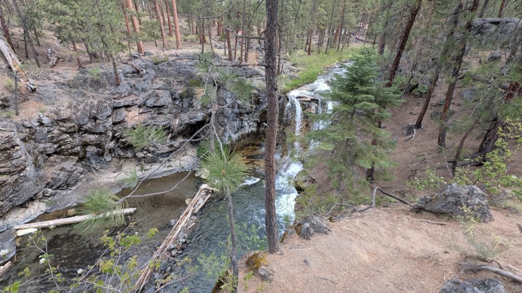
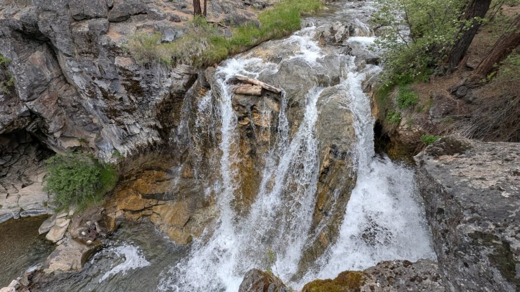
McKay Falls sits on Paulina Creek approximately 3 miles below McKay Crossing Campground via the Peter Skene Ogden Trail, or a short 0.1-mile walk from the campground road itself — making this one of the most accessible significant waterfalls in the Newberry National Volcanic Monument. The falls cascade down a series of volcanic rock ledges in a lush, shaded creek corridor before the creek continues its 2,000-foot descent from the caldera rim to the high desert below. A pool at the base has been dammed by visitors stacking rocks — a popular summer wading spot, though access to the pool is steep and can be difficult.
McKay Falls is best understood as part of the larger Paulina Creek experience rather than a stand-alone destination. Paulina Creek Falls — 4 miles upstream at the caldera rim, where the creek drops spectacularly in twin 80-foot plunges — is the headliner. McKay Falls is the rewarding discovery along the way.
A note on pronunciation
Paulina — the lake, the creek, the peak, and the falls — is pronounced paw-LYE-nuh, not like the name Paula (PAW-luh) and not paw-LEE-nuh. The stress falls on the second syllable with a long “I” sound. If you say it correctly around Central Oregon locals, they’ll know you’ve done your homework.
Geology
McKay Falls cascades over volcanic rock on Paulina Creek at approximately 5,300 feet elevation on the western flank of Newberry Volcano. Paulina Creek drains Paulina Lake — the deepest lake in the Newberry Caldera at 250 feet — and has chiseled a narrow gorge through the caldera’s west wall. The creek descends approximately 2,000 feet over eight miles from the caldera to the high desert floor, creating a succession of waterfalls including McKay Falls and the spectacular Paulina Creek Falls near the caldera rim. The Newberry Caldera was formed 500,000 years ago by the gradual collapse of a 25-mile wide, 9,000-foot high volcano. The most recent eruption, approximately 1,300 years ago, created the Big Obsidian Flow — visible from the caldera above and accessible via a short interpretive trail.
Directions & Access
Nearest City: La Pine, OR (~14 miles west); Bend, OR (~35 miles northwest)
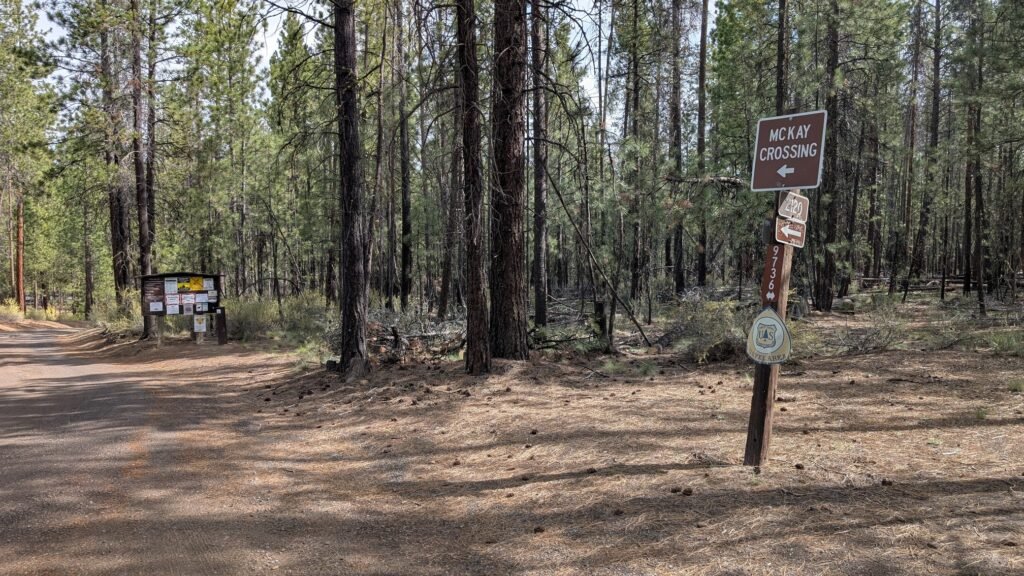
Getting There: From Bend, drive south on Hwy 97 approximately 24 miles to County Road 21 (Paulina Lake Road). Turn left (east) and drive approximately 9.5 miles to the marked turnoff for McKay Crossing Campground. Google Maps — Paulina Lake Road Turnoff. Turn here and follow the well-maintained dirt road 2.1 miles to the campground.
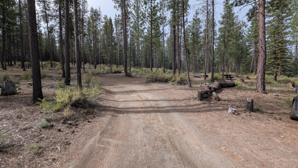
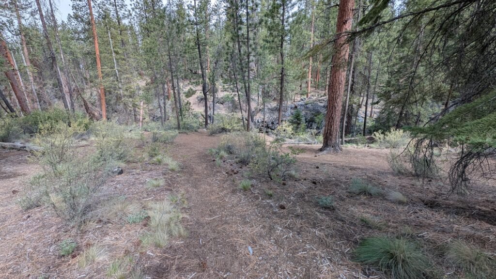
Parking at the campground: McKay Crossing Campground does not have a dedicated day-use parking lot. Parking is available in the campground itself, which has ample space between campsites. Be considerate — do not park in occupied campsites or walk through active camping spots to access the falls. The falls are located to the northwest of the campground and are easily reached by a path approximately 0.1 miles from the campground road.
At the falls: A pool at the base has been built up by visitors stacking rocks to dam the water. Access to the pool is steep and may be difficult — approach with care and expect wet, uneven footing.
Campground: McKay Crossing Campground is a Forest Service fee primitive campground with basic facilities. For those wanting to make a weekend of the Paulina Creek corridor — combining McKay Falls, Paulina Creek Falls, the lake, and the Big Obsidian Flow — camping here puts you in the center of it all.
Trail option: The Peter Skene Ogden Trail (#3956) accesses McKay Falls from the lower trailhead approximately 3 miles downstream, or continues upstream from the campground to the natural water slide (~1.5 miles) and eventually Paulina Creek Falls and Paulina Lake.
Passes: America the Beautiful Pass or Deschutes National Forest day-use fee required. Paulina Lake Road is a fee corridor within the Newberry National Volcanic Monument.
Accessibility: Short, easy path from the campground road to the falls viewpoint. Access to the pool at the base is steep and uneven — not suitable for all visitors.
Best Time to Visit
Spring: Paulina Lake Road typically opens late May or June; creek running strongly from snowmelt; the falls most powerful.
Summer: Excellent conditions; the wading pool at the base is popular; the campground fills on summer weekends — arrive Friday or reserve ahead; the full Paulina Creek / Newberry Monument experience is best in summer.
Fall: Road typically closes with first significant snowfall (October or November); quieter and beautiful; excellent fishing on the creek and lake.
Winter: Road closed seasonally; accessible via snowshoe or ski from the 10 Mile Sno-Park on Hwy 97 — approximately 6 miles to the campground and falls.
Combine with These Destinations
McKay Falls is best as part of a larger Newberry weekend, not a standalone day trip:
Paulina Creek Falls — McKay’s larger and more spectacular cousin, 4 miles upstream from the campground (accessible from the upper Paulina Lake parking area near the caldera rim). Two 80-foot plunges dropping through the caldera wall. This is the waterfall that makes the drive genuinely worth it on its own merits — McKay Falls is the bonus.
Big Obsidian Flow — A 1.5-mile interpretive trail across the largest obsidian flow in North America, created by Newberry Volcano’s most recent eruption approximately 1,300 years ago. The Paiutes used this obsidian for arrowheads and tools and traded it across the region. Do not skip this if you’re in the monument — it’s one of the most extraordinary geological walks in Oregon.
Paulina Lake — Kayaking, paddleboarding, fishing for large brown trout and kokanee, and swimming in the high-elevation crater lake. Boat rentals at Paulina Lake Lodge on the west shore. Thermal vents along the northeast edge warm sections of the water in summer.
Paulina Peak (~7,984 ft) — A scenic road or 6-mile round-trip hike to the highest point on the caldera rim, with panoramic views of the Cascades and the high desert.
Nearby Attractions
- Paulina Creek natural water slide (~1.5 miles upstream from McKay Crossing via Peter Skene Ogden Trail)
- East Lake (hot springs, fishing, swimming)
- La Pine State Park
- Sunriver Resort (~15 miles north)
- Newberry Volcanic Monument Visitor Center
References
Links:
- Deschutes NF — Newberry National Volcanic Monument
- AllTrails — Peter Skene Ogden Trail to McKay Crossing
- Oregon Encyclopedia — Chief Paulina
- Oregon Discovery — Paulina Lake and Newberry Caldera
- Paulina Lake Road Turnoff — Google Maps
Books:
- Waterfall Lover’s Guide: Pacific Northwest by Greg Plumb

Map
Sorry, no records were found. Please adjust your search criteria and try again.
Sorry, unable to load the Maps API.