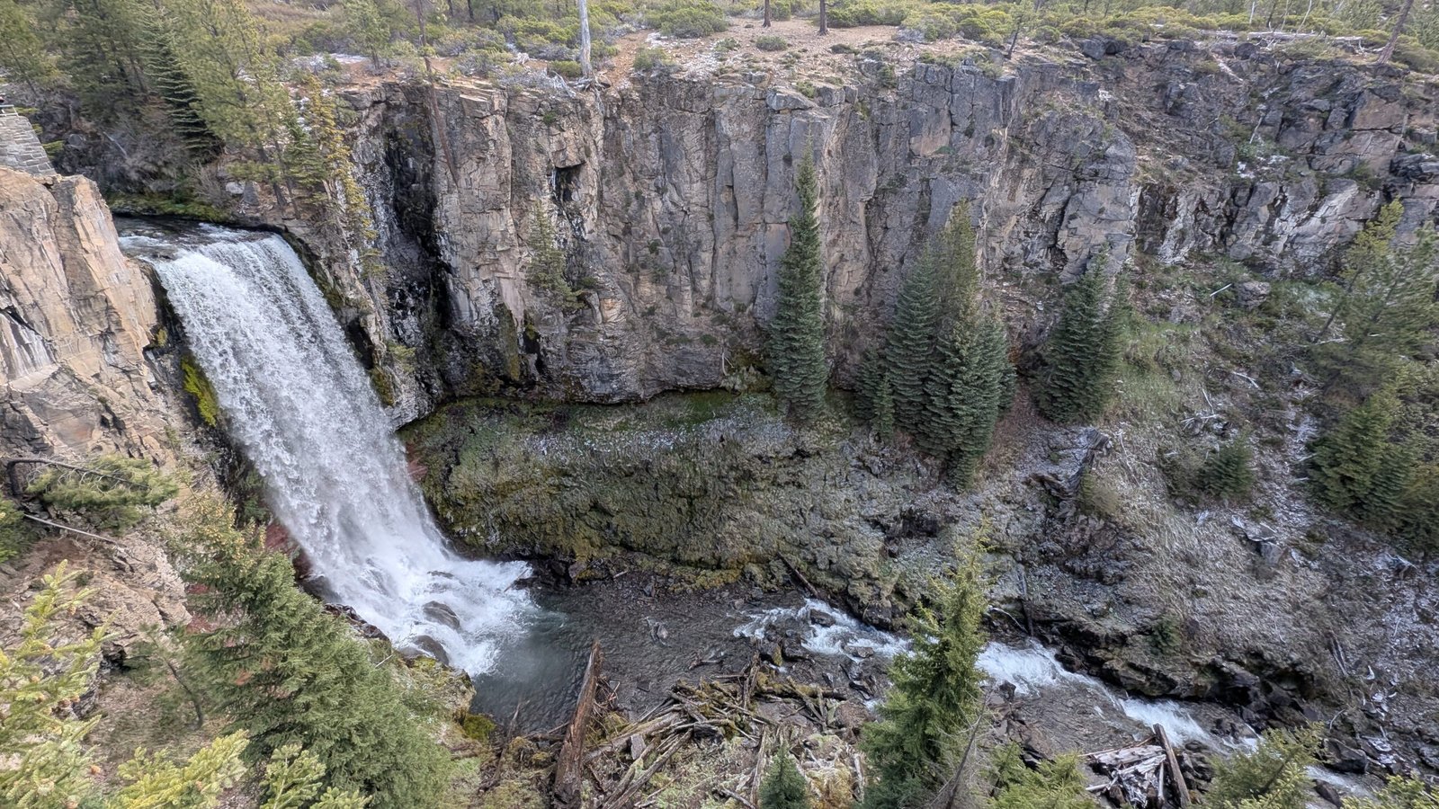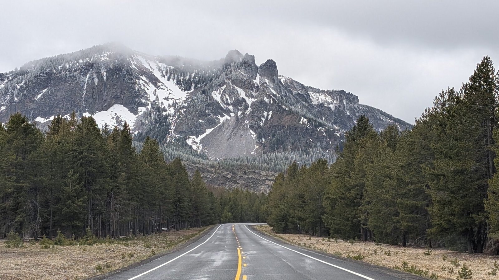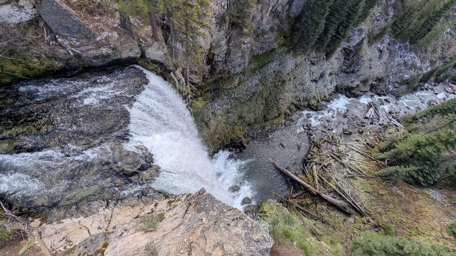
Most Bend hikers have done Tumalo Falls. Far fewer have done the loop — and they’re missing some of the best trail miles in Central Oregon.
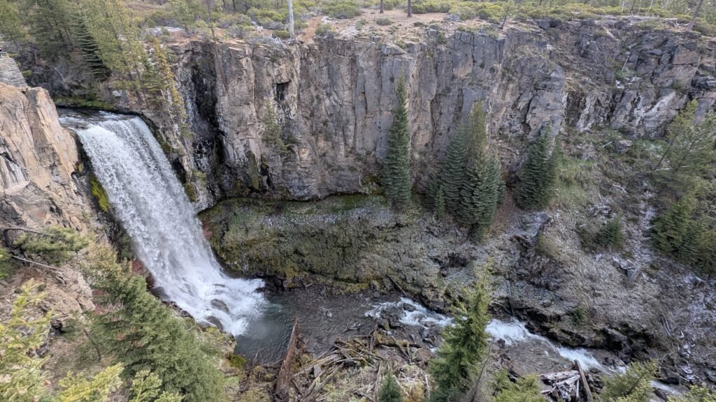
Here’s something that surprises most people who’ve been to Tumalo Falls: the trail doesn’t end at the waterfall.
From the parking lot, Tumalo Falls is a short flat walk to one of the most spectacular 97-foot plunges in Central Oregon. It feels like a destination in itself — and for the majority of visitors, it is. Most people see the falls, maybe hike up to the overlook, and turn around.
But the North Fork Trail that leads you to Tumalo Falls keeps going. And in the next 3.5 miles, it passes Double Falls, Upper Tumalo Falls, North Fork Falls, and a meadow most hikers have never heard of before looping back through Bridge Creek Falls to the trailhead.
Six named waterfalls. A subalpine creek crossing. 1,246 feet of elevation gain. One meadow called Happy Valley.
That’s the Tumalo Falls Loop — and it’s one of the finest full-day waterfall hikes in the Bend area.
Getting There and Getting Parked
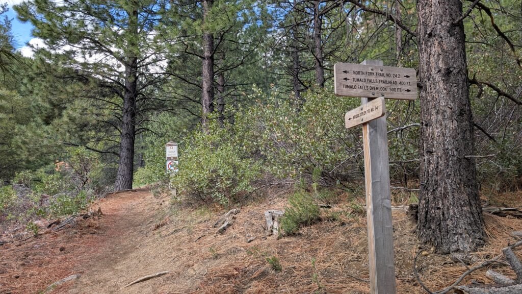
The trailhead is reached by driving west on Galveston Avenue from Bend (becomes Skyliners Road) for 10.5 miles, then turning left onto Forest Road 4601 at the signed Tumalo Falls junction. Keep left after the bridge over Tumalo Creek. The road turns to wide, well-maintained gravel for 2.5 miles to the trailhead.
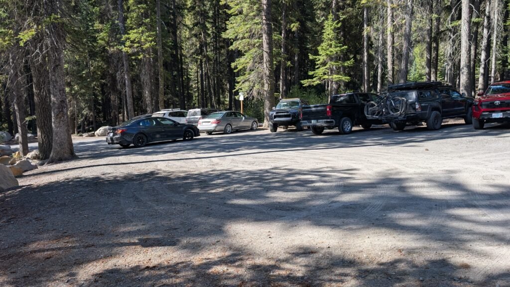
Before you get there, know this: the trailhead parking lot is small and fills fast. On summer weekends it’s typically full by 8 AM. When it’s full, cars park along the road in the final stretch (room for another 20–30 vehicles). If those are full too, the overflow lot is your next option — but it adds about 1.2 miles each way to your day.
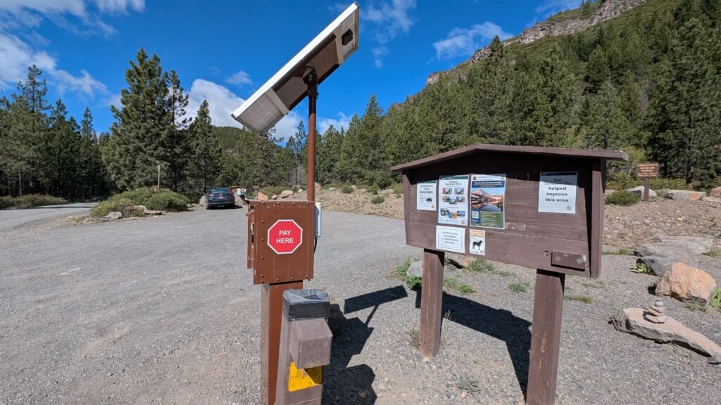
The simplest strategy: arrive early, especially on summer weekends. A Northwest Forest Pass or $5 day-use fee is required. Vault toilets are at the trailhead; there are no facilities further up the trail. Download your map offline — cell service is unreliable on the road and trail.
Stop One: Tumalo Falls
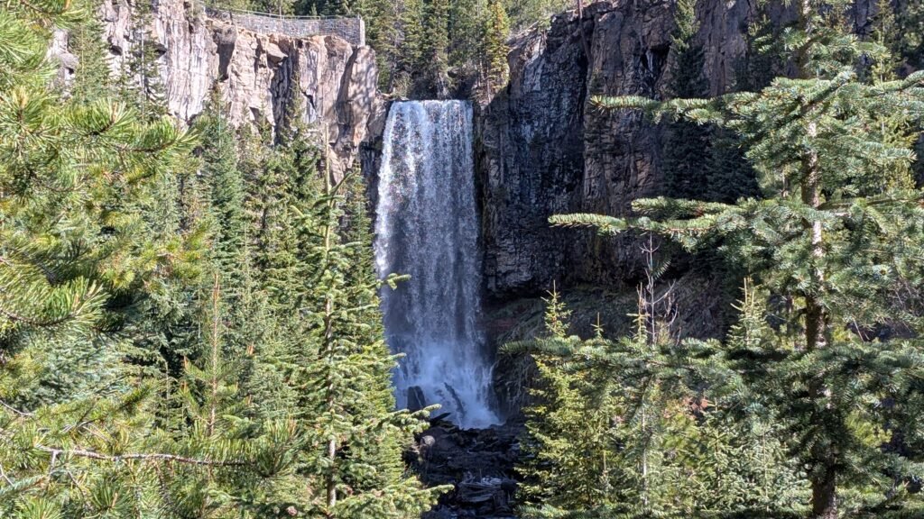
The first thing you’ll see after a few steps from the trailhead is Tumalo Falls — 97 feet of Tumalo Creek launching off a basalt ledge into the canyon below. The lower viewpoint is immediate and dramatic; the upper overlook (0.5 miles up the North Fork Trail) rewards the short climb with a broader canyon perspective looking out over the tops of the pines.
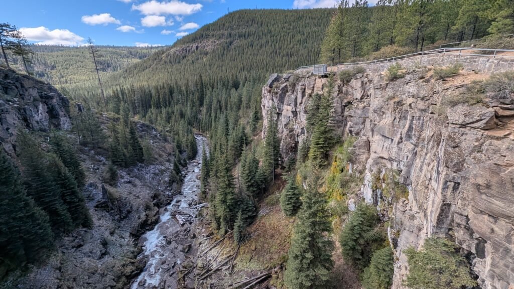
For most visitors, this is the experience. For those doing the loop, it’s the opening act.
Past the overlook, the trail continues north along the North Fork of Tumalo Creek as the crowd thins. Within a half mile past the upper viewpoint, you’ll likely have the trail largely to yourself.
Stop Two: Upper Tumalo Falls
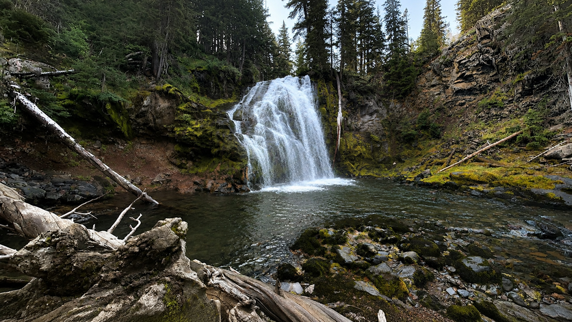
At approximately 2.5 miles from the trailhead, Upper Tumalo Falls drops 65 feet over a volcanic basalt ledge in a setting noticeably wilder and quieter than the main falls below. The trail passes Double Falls along the way — a striking paired cascade worth pausing for — before arriving at the upper falls, which rewards those 2.5 miles with a cascade that would be the headline attraction at almost any other trailhead.
This is the turnaround point if you’re doing an out-and-back with a dog. Dogs are permitted on the North Fork Trail as far as the upper falls area, but the loop’s return section passes through the City of Bend Watershed, where dogs are prohibited. More on that below.
For those continuing: North Fork Falls appears further upstream before the trail reaches the Swampy Lakes Trail junction.
The Middle: A Creek Crossing and a Meadow
Here’s where the loop’s character shifts, and where some advance knowledge pays off.
At the Swampy Lakes Trail junction, the loop leaves the North Fork creek drainage and begins the return. To do so, it requires crossing the Middle Fork of Tumalo Creek — without a bridge. Expect to wade through thigh-to-waist-deep cold water for roughly 50 feet, or balance across a downed log if one is in place. This is manageable but genuinely cold, and trekking poles help considerably. Recent trail reports (May 2026) note the log crossing requires good balance; many hikers wade regardless.
About 300 yards past the Swampy Lakes Trail junction, a signed spur leads to Happy Valley — a quiet subalpine meadow that most loop hikers breeze past without knowing it’s there. It’s worth the short detour.
From here, the loop enters the City of Bend Watershed along the Bridge Creek Trail. Within this section, strict rules apply: no dogs, no bikes, no horses, no camping, no fires. These aren’t arbitrary restrictions — the watershed supplies Bend’s drinking water. The rules are clearly signed and taken seriously.
The second half of the loop through the Swampy Lakes and Bridge Creek sections is beautiful forest hiking but less waterfall-dense than the first half. Current trail reports also note downed trees requiring scrambling on this section — expect some obstacle navigation.
Stop Three: Bridge Creek Falls
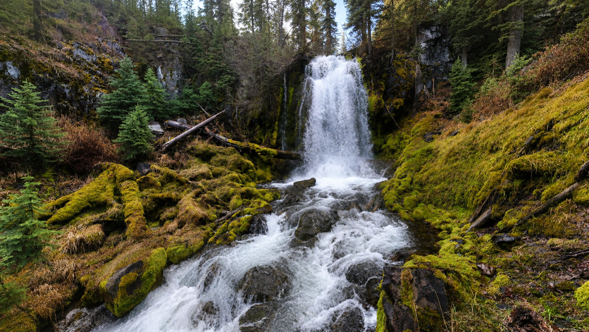
Bridge Creek Falls is a 25-foot plunge on Bridge Creek encountered on the return leg of the loop via the Bridge Creek Trail — the final named waterfall before the trail rejoins the North Fork Trail for the last stretch back to the trailhead. It’s a pleasant finishing touch in a shaded canyon setting, a good place to pause before the return to the parking lot.
The Loop at a Glance
| Total distance | 7.5 miles |
| Elevation gain | 1,246 feet |
| Difficulty | Moderate |
| Estimated time | 3.5–4 hours |
| Trail type | Loop (North Fork Trail → Swampy Lakes Trail → Bridge Creek Trail) |
| Dogs | Leash required; prohibited on Bridge Creek/watershed section |
| Bikes | Not permitted on loop |
| Creek crossing | Required (no bridge; wade or log balance) |
| Pass required | Northwest Forest Pass or $5/day |
| Cell service | Spotty — download maps offline |
Named waterfalls in order:
- Tumalo Falls (97 ft) — steps from the parking lot
- Double Falls — ~1 mile
- Upper Tumalo Falls (65 ft) — ~2.5 miles
- North Fork Falls — continuing upstream
- Bridge Creek Falls (25 ft) — return leg
Plus numerous unnamed cascades and drops throughout the North Fork drainage.
Planning Tips
Start early. Trailhead parking fills by 8 AM on summer weekends. The trail itself clears out quickly past the main Tumalo Falls viewpoint, so even a slightly later start gives you a quieter experience above the first mile.
Check current conditions. The access road is closed seasonally by snow — typically November through May. Downed trees on the second half of the loop have been reported through spring 2026; check AllTrails or USFS alerts before going.
Bring trekking poles. The creek crossing and some muddy sections on the return justify them.
Wear waterproof footwear or bring shoes you’re willing to wade in.
Leave the dog at home if you want to do the full loop. If you have a dog, the out-and-back to Upper Tumalo Falls is the right call — 5 miles RT, plenty of waterfalls, no watershed complications.
Explore individual profiles for all three waterfalls in the Best Oregon Waterfalls directory: Tumalo Falls, Upper Tumalo Falls, and Bridge Creek Falls.