
Profile
Dillon Falls (Deschutes National Forest) Overview
Location: Deschutes County, Deschutes National Forest (Deschutes River, between Bend and Sunriver)
Waterfall Type: Cascade
Height: ~20–25 feet (6–8 m) total — a wide, dynamic multi-channel cascade spread across the lava gorge rather than a single dramatic plunge
Trail Distance: ~0.5 miles round-trip from the Dillon Falls trailhead; or accessible via the Deschutes River Trail (~3 miles RT from Benham Falls East Trailhead; ~2 miles RT from Lava Island Falls Trailhead)
Difficulty: Easy to viewpoints; rock scrambling required (and caution advised) to access closer views
Best Time to Visit: Year-round; best flow in spring
Disambiguation: This is Dillon Falls on the Deschutes River in the Deschutes National Forest, Deschutes County, Central Oregon. This is not the same waterfall as Dillon Falls on the Rogue River near Trail, Oregon in Jackson County. Both falls appear in this directory — check the location carefully before visiting.
History & Background
Dillon Falls is one of three waterfalls created on the Deschutes River by the same volcanic event — the eruption of Lava Butte approximately 7,000 years ago — that also formed Benham Falls to the north and Lava Island Falls to the south. Sitting between its more famous neighbors, Dillon Falls is in many ways the most dynamic and interesting of the three — not because of height, but because of character.
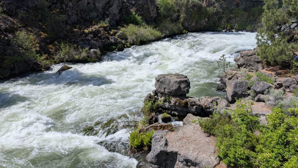
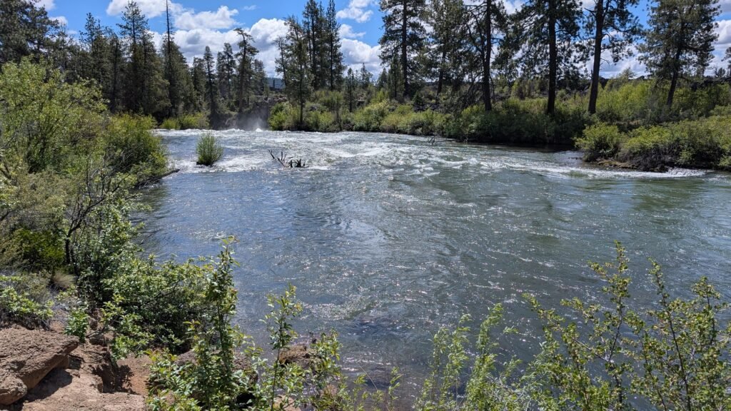
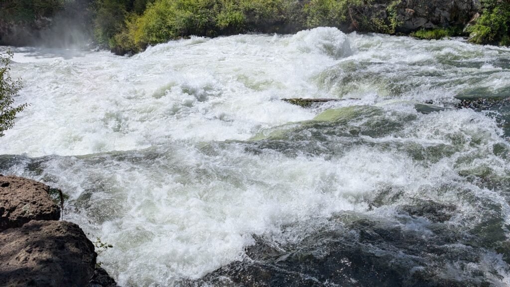
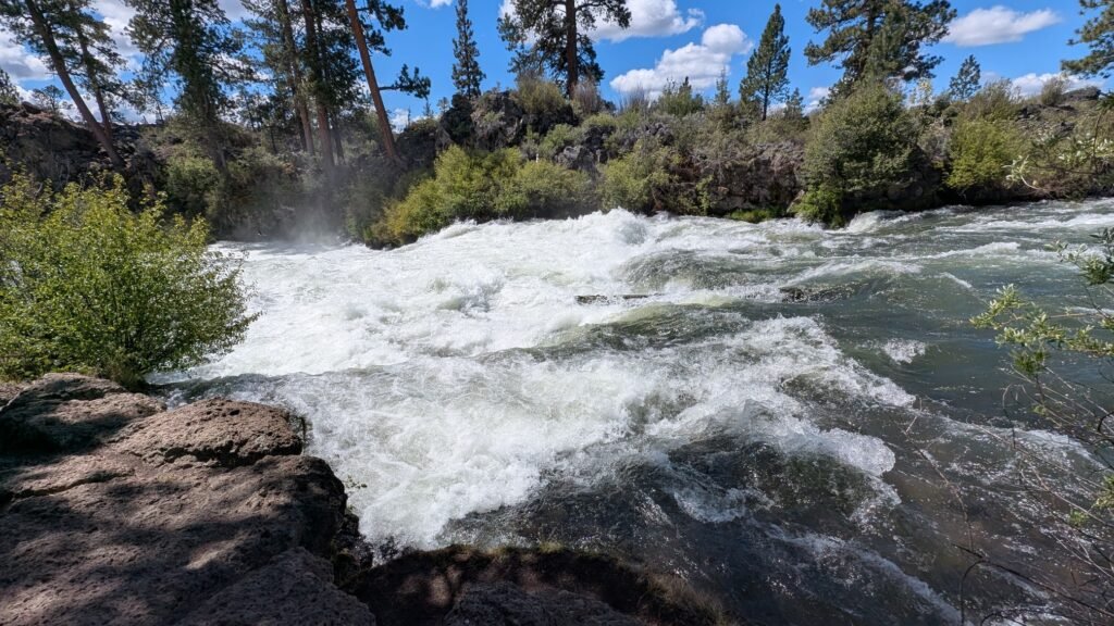
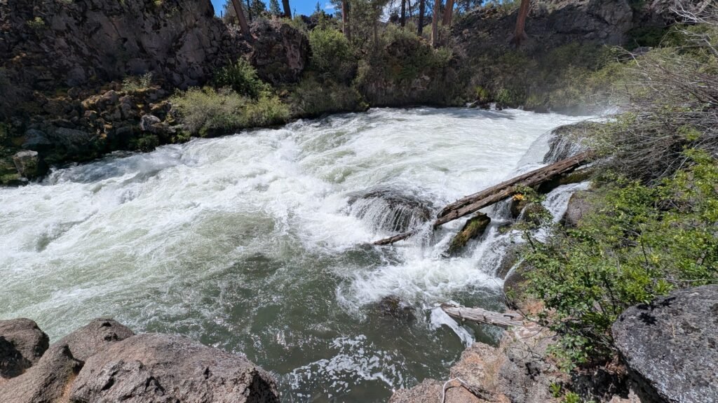
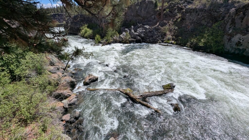
Where Benham Falls channels the Deschutes into a narrow gorge for a concentrated roaring drop, Dillon Falls spreads the river wide across a complex lava rock cascade. The water forces itself through multiple channels, over ledges, and between jagged basalt formations simultaneously, creating an energetic, constantly shifting display that rewards exploration from multiple angles. The volume of water moving through this section of the Deschutes — fed by the extensive spring systems of the porous volcanic plateau upstream — gives the cascade an impressiveness that belies its modest drop. The best appreciation of Dillon Falls comes from moving along the riverbank and finding different perspectives, rather than stopping at a single overlook.
The falls are a slight detour off the main Deschutes River Trail, but well worth making. The DRT passes nearby and the Dillon Falls spur delivers you to the riverbank where multiple access points allow views from different angles. The river level can be approached with care, but some closer viewpoints require rock scrambling over steep and uneven terrain — exercise caution, particularly on wet rock.
The Deschutes River Trail connecting Dillon Falls to its neighboring waterfalls has been a recreational corridor for generations of Central Oregon residents. The river here is fed almost entirely by springs emerging from the volcanic plateau upstream, giving it the unusually consistent, clear flow that makes it one of Oregon’s premier fly-fishing rivers.
Geology
Dillon Falls cascades through the same volcanic lava landscape as Benham Falls — a direct product of the Lava Butte eruption that covered 9.5 square miles of the Deschutes River valley with more than 100 feet of basalt approximately 7,000 years ago, rerouting the river and creating a series of rapids and waterfalls along its new forced course. The Deschutes pushes through a wide, fractured section of hardened basalt at Dillon Falls, spilling across multiple channels rather than concentrating into a single drop. The jagged, irregular surface of the lava rock creates the turbulent, multi-threaded character that distinguishes Dillon Falls from the more focused power of Benham Falls upstream.
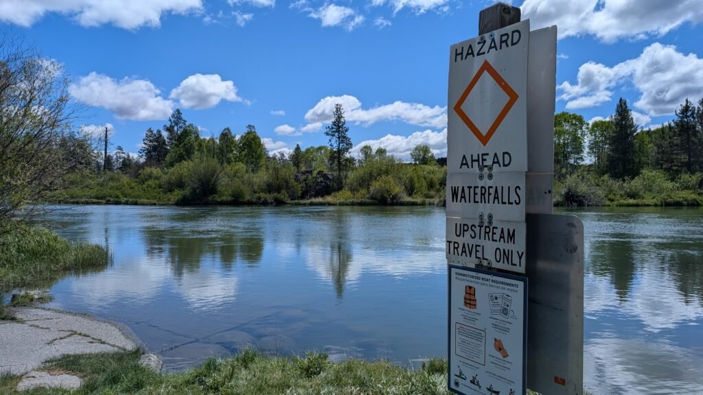
The porous volcanic geology of the Deschutes basin — formed by millions of years of High Cascades volcanism — absorbs winter precipitation and releases it as year-round springs, giving the Deschutes its unusually stable and powerful year-round flow. The river is Class V at Dillon Falls and is not safely runnable. The riverbank rock immediately around the falls is volcanic basalt: sharp-edged, often mossy and slippery when wet, with irregular footing. Exercise caution if exploring beyond the main trail viewpoints.
Directions & Access
Nearest City: Bend, OR (~10 miles north); Sunriver, OR (~4 miles south)
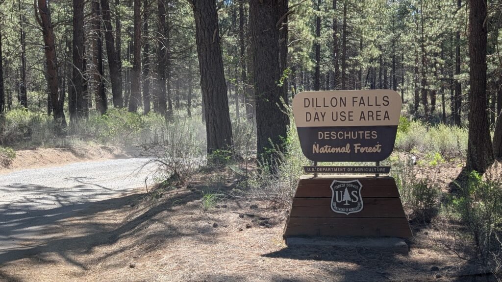
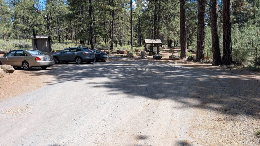
Parking: Dillon Falls Day Use Area — small lot with vault toilet and picnic table. Dillon Falls Parking — Google Maps
Northwest Forest Pass or $5 day-use fee required.
From Bend (north approach — also connects Benham Falls and Lava Island Falls): Follow SW Century Drive south from Bend, which becomes Conklin Road / Forest Road 41 as it enters the National Forest. Follow Forest Road 41 south and watch for the signed Dillon Falls Day Use Area turnoff. This northern approach allows you to drive all three waterfalls — Lava Island, Dillon, and Benham — on a short, logical route along Conklin Road. Note a section of road is well-maintained dirt.
From Sunriver / La Pine (south approach): Access via Highway 97 to the Sunriver area and follow Forest Road 41 / Conklin Road north to the Dillon Falls Day Use Area. Spring River Road also connects south to Sunriver with some dirt road sections.
Trail Information:
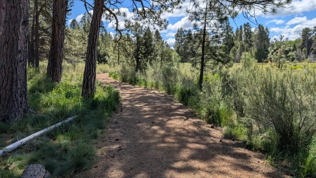
From the Dillon Falls trailhead, a short path of approximately 0.25 miles leads to the main viewpoints along the river — a slight detour off the Deschutes River Trail that is well worth making. The falls can be viewed from multiple points along the riverbank, each giving a different perspective on the wide cascade.
Getting closer to the falls beyond the main viewpoints requires rock scrambling over steep and uneven basalt. The terrain is challenging and the rock can be slippery — exercise real caution if attempting closer access. The main viewpoints are safe and impressive; the scrambling is optional.
Dillon Falls is also accessible via the Deschutes River Trail as part of a longer hike or bike ride:
- From Benham Falls East Trailhead: approximately 3 miles round-trip south to Dillon Falls
- From Lava Island Falls Trailhead: approximately 2 miles round-trip north to Dillon Falls
Dogs: Permitted on leash; leash required May 15 through September 15.
Accessibility: The short path from the parking area to the main viewpoints is relatively accessible on natural surfaces; closer river access requires scrambling and is not accessible.
Best Time to Visit
Spring (March–May): Highest flows from Cascade snowmelt; the wide cascade is at its most impressive; full volume visible across all channels; watch for mosquitoes from May onward.
Summer: Consistent, strong spring-fed flows; the Deschutes River Trail is extremely popular with hikers and cyclists; arrive early for parking on summer weekends.
Fall: Crowds thin and temperatures cool; ponderosa pine forest turns golden; flows remain strong year-round from the spring-fed river.
Winter: Open year-round; the river runs at its most consistent; snow occasionally dusts the surrounding pines for dramatic photography.
Combine with the Full Volcanic Waterfall Corridor
Dillon Falls sits in the middle of a remarkable trio of waterfalls, all created by the same Lava Butte eruption approximately 7,000 years ago:
- Benham Falls — ~3 miles north via Deschutes River Trail, or a short drive north on Conklin Road; the most powerful of the three, channeled into a narrow gorge with an accessible west trailhead and a fully accessible viewing platform
- Lava Island Falls — ~1 mile south via Deschutes River Trail, or a short drive south on Conklin Road; the most intimate of the three, where the river splits around a basalt island
- Lava Lands Visitor Center (~4 miles east on Hwy 97) — the best place to understand the volcanic story behind all three falls; Trail of the Molten Land and Lava Butte summit trail
All three falls can be visited by car in under an hour via Conklin Road, or connected on foot or by bike via the 16-mile Deschutes River Trail corridor between Bend and Sunriver.
Nearby Attractions
- Lava Lands Visitor Center (Trail of the Molten Land, Lava Butte, Lava River Cave)
- Sunriver Resort (~4 miles south — bike paths, SHARC water park, Deschutes float)
- Paulina Creek Falls (~35 miles southeast)
- La Pine State Park (~15 miles south)
References
Links:
- USFS — Dillon Falls Day Use Area
- AllTrails — Dillon Falls Trail
- Visit Central Oregon — Deschutes River Trail
- Bend Trails — Deschutes River Trail Map & Conditions
- Dillon Falls Parking — Google Maps
Books:
- Waterfall Lover’s Guide: Pacific Northwest by Greg Plumb
- 100 Hikes in the Central Oregon Cascades by William L. Sullivan
- Day Hiking: Central Oregon by Craig Romano
Map
Sorry, no records were found. Please adjust your search criteria and try again.
Sorry, unable to load the Maps API.