
Profile
Overview
Location: Deschutes County, Deschutes National Forest (Deschutes River, between Bend and Sunriver)
Waterfall Type: Cascade
Height: ~25 feet (7.6 m); width: ~40 feet (12 m)
Elevation: 4,153 feet (1,266 m)
Trail Distance: ~0.5 miles round-trip from Benham Falls West Trailhead; ~1.9 miles round-trip from Benham Falls East Trailhead
Difficulty: Easy
Best Time to Visit: Year-round; peak flows in spring; accessible all seasons
Also see: Dillon Falls and Lava Island Falls — all three created by the same volcanic event and accessible on a short drive along Conklin Road
History & Background
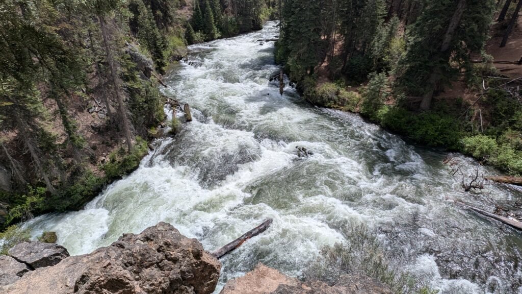
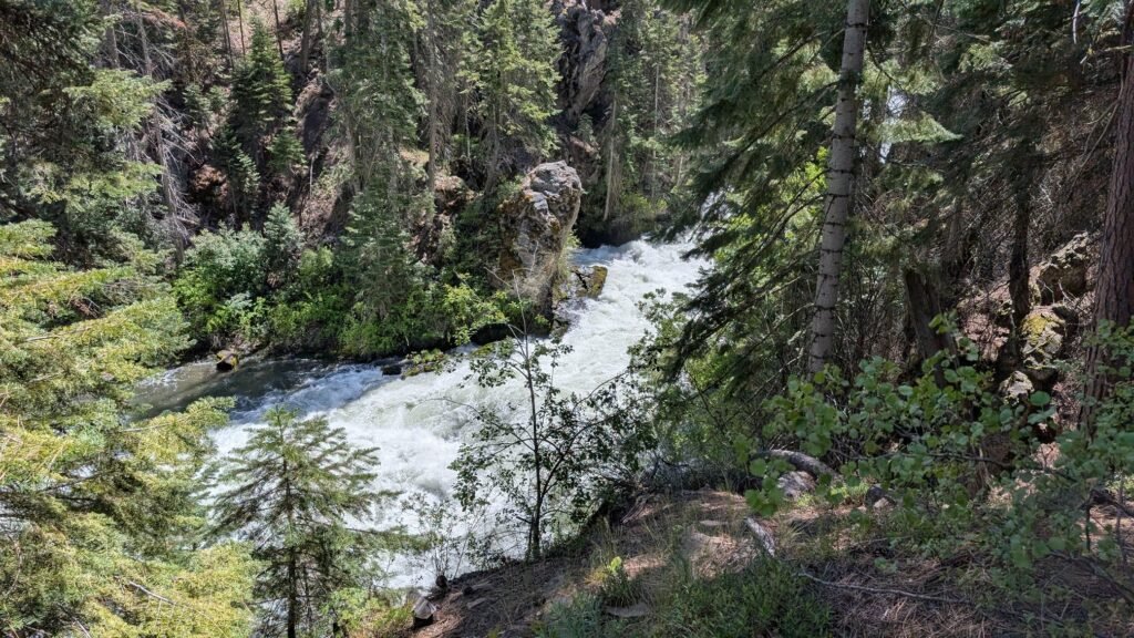
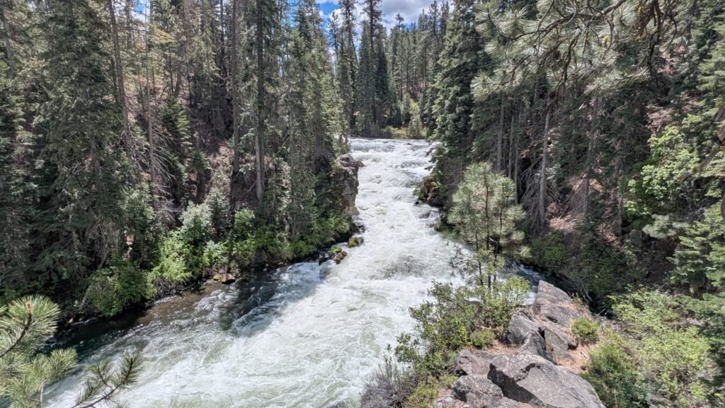
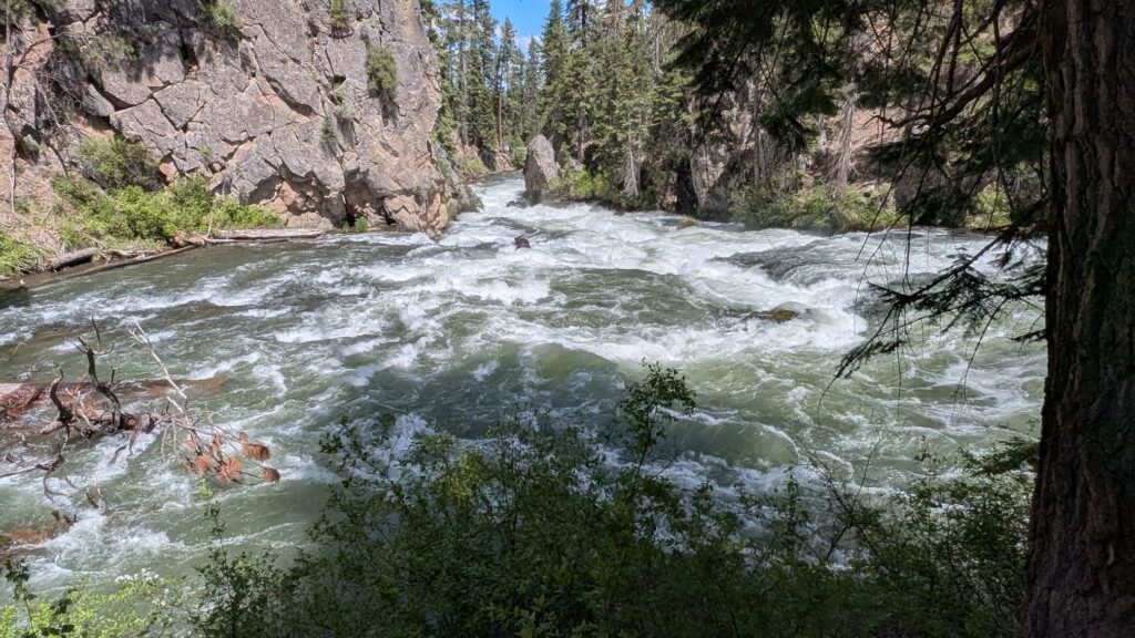
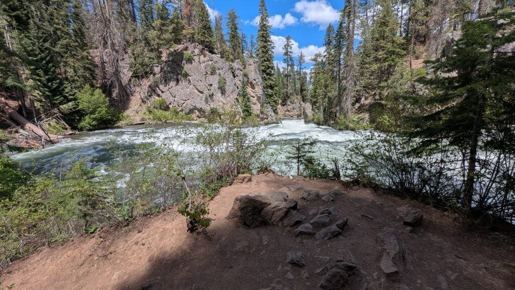
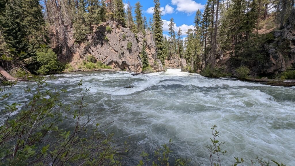
Benham Falls is the most powerful waterfall on the upper Deschutes River, a Class V rapid that drops 25 feet across a 40-foot-wide channel in a roaring display of hydraulic force that belies the gentle, spring-fed character of the river upstream. The falls are not natural in the conventional sense — they are a direct consequence of a volcanic catastrophe that reshaped this entire section of the Deschutes River approximately 7,000 years ago. Without the eruption of Lava Butte, Benham Falls would not exist.
The story begins about 2.5 miles to the east. Around 7,000 years ago, a fissure eruption on the south side of Lava Butte sent a river of hot basalt flowing westward, covering a large area with a lava flow that remains largely free of vegetation today. The lava flows reached the Deschutes River about 2.5 miles away, burying the river’s former channel under over 100 feet of lava and damming the river to form a lake known as Lake Benham. The river eventually flowed over the dam, draining the lake and forming Benham Falls. Benham, Dillon, and Lava Falls were all created by the same eruption. The jagged basalt walls still visible along the east bank of the river between the falls and the Lava Lands Visitor Center are the exposed face of that original lava flow, unchanged in 7,000 years.
The falls are named for J.R. Benham, who attempted — and failed — to file a land claim near the falls around 1885. The name stuck despite the failed claim. A USGS river gauging station installed here in 1905 still monitors Deschutes River flow levels today, making this one of the longest continuously monitored river measurement sites in Oregon.
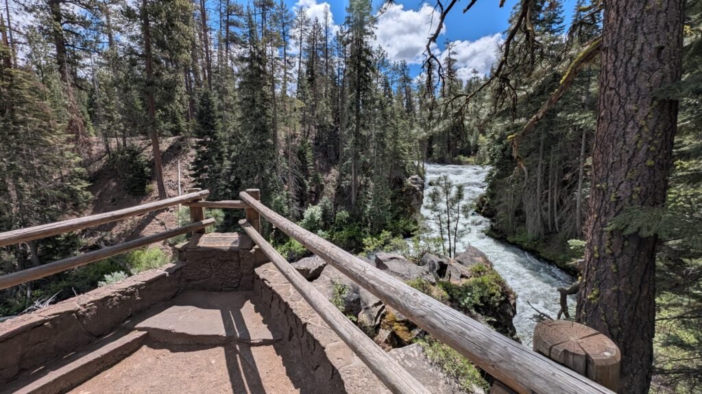
The falls are Class V for watercraft — the largest rapids on the upper Deschutes — and are not safely runnable. A footbridge across the river above the falls provides the viewing platform, and the force of the water through the lava-choked channel is audible well before you reach it.
Geology
The Lava Butte lava flow contains 380 million cubic yards of volcanic rock — enough to pave 160,000 miles of road, or a road circling the Earth six and a half times. This single eruption covered a 9.5-square-mile mass of volcanic rock that poured out of Lava Butte, burying ponderosa pine forests under basaltic lava flows that remain largely bare of vegetation today.
The lava burst through a thin spot on the south side of Lava Butte, flowed out of this “Breach,” and split into three main channels, spreading across the land and blocking the path of the Deschutes River, rerouting it over cascades and waterfalls. The wall of dark volcanic rock visible on the far side of the river as you walk toward Benham Falls from the East Trailhead is the raw face of this flow — the same basalt that forced the Deschutes to carve its new channel and create the falls.
The Deschutes River Trail between the East Trailhead and the falls passes directly along the contact zone between the river and the lava flow, making the hike itself an extraordinary geological walk. The interpretive Trail of the Molten Land at the Lava Lands Visitor Center, just 4 miles east on Highway 97, provides the best context for understanding how this landscape was shaped and is strongly recommended as a companion stop. From the summit of Lava Butte above, the full 9.5-square-mile extent of the flow is visible, with Benham Falls tucked at its western edge where the Deschutes was forced into its new course.
Directions & Access
Nearest City: Bend, OR (~10–13 miles north); Sunriver, OR (~3.5 miles south)
Approaching from Bend (recommended for West Trailhead and combining all three falls):
From Bend, follow SW Century Drive (Highway 42/S. Century Drive) south. This road becomes Conklin Road / Forest Road 41 as it enters the Deschutes National Forest. The Benham Falls West Trailhead is 13 miles south of Bend via SW Century Drive, Conklin Road/Forest Road 41, and Forest Road 400. Note that a section of this road is a well-maintained dirt road. This northern approach gives the easiest access to all three waterfalls — Lava Island Falls, Dillon Falls, and Benham Falls — and connects them via a short drive along Conklin Road. Oregon State Parks
The Conklin Road also connects southward to Spring River Road, which leads to Sunriver. This makes it possible to do a scenic drive through the waterfall corridor connecting Bend and Sunriver, though part of the road is unpaved.
Benham Falls West Trailhead Parking — dirt lot with accessible facilities; short walk to falls
Benham Falls East Trailhead Parking — dirt lot, northwest Forest Pass required
Approaching from La Pine or Sunriver (south):
From La Pine or Sunriver, access is more practical via the East Trailhead. Follow Highway 97 north to the Lava Lands Visitor Center turnoff, then follow Forest Roads to the East Trailhead. Note that the hike from the East Trailhead to the falls is longer (~1.9 miles RT) than from the West Trailhead (~0.5 miles RT), but if you’re coming from the south this is the more direct driving approach.
The Two Trailheads:
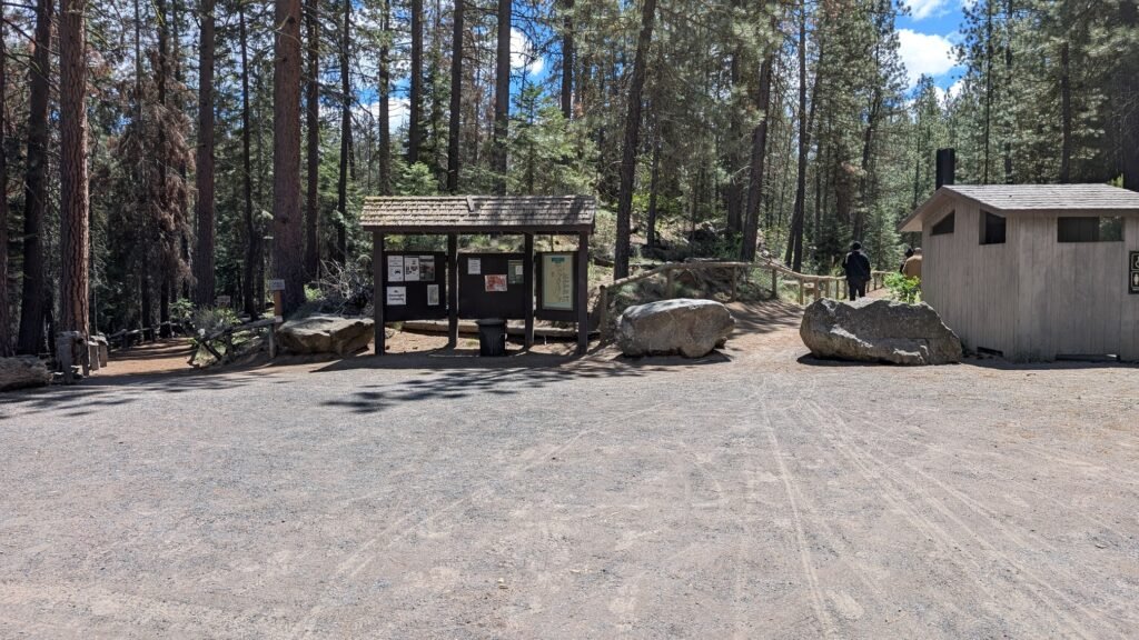
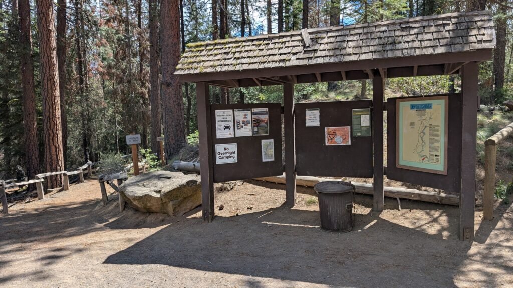
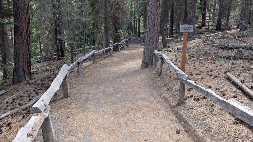
Benham Falls West Trailhead (Google Maps) The closer approach — approximately 0.5 miles round-trip on a flat, paved accessible path to the viewing platform at the falls. The west trailhead features a fully accessible paved path, accessible restrooms, and graveled interpretive trail — one of the more accessible waterfall sites in Central Oregon. Recommended if you’re coming from Bend, visiting with mobility limitations, combining with other waterfalls on Conklin Road, or simply want the shortest route to the falls.
Benham Falls East Trailhead (Google Maps) Approximately 1.9 miles round-trip (0.7 miles to the overlook spur, plus the spur itself) on the wide, flat Deschutes River Trail. The trail follows the east bank of the Deschutes northward through tall ponderosa pines, with the Lava Butte lava flow visible on the opposite bank for much of the route. Popular with mountain bikers as well as hikers. Recommended if approaching from the south (Sunriver/La Pine), if you want to experience the full geological corridor, or if hiking or biking the longer Deschutes River Trail.
Northwest Forest Pass or $5 day-use fee required at both trailheads. Arrive early on summer weekends — lots fill quickly.
Dogs: Permitted on leash; dogs must be leashed May 15 through September 15.
Mosquitoes can be significant from May through July near the river — bring repellent.
The Deschutes River Trail
Benham Falls sits along one of Central Oregon’s finest multi-use trail systems, giving context well beyond a single waterfall stop.
The southernmost stretch of the Deschutes River Trail, popular with hikers and mountain bikers, covers lava flows, old-growth pine forests, waterfalls, and raging rapids in the Deschutes River — including Big Eddy (popular with whitewater rafters), Dillon Falls, Benham Falls, and Lava Falls. This stretch covers approximately 16 miles between the Bend trailheads and Sunriver. Oregon State Parks
Key access points on this southern forest section, north to south:
- Meadow Day Use Area (northernmost, closest to Bend)
- Lava Island Trailhead (~1.5 miles south of Meadow)
- Big Eddy (~1 mile further south — popular whitewater rafting rapids)
- Dillon Falls Trailhead
- Aspen Day Use Area
- Benham Falls West Trailhead
- Benham Falls East Trailhead
- Sunriver Canoe Pullout (southernmost, at Sunriver)
While an additional section of the DRT goes all the way from the Good Dog Park area to Sunriver, passing Benham Falls and the Big Eddy rapids, there are also five urban segments within Bend itself: South Canyon, Old Mill, Pioneer, River Run, and Awbrey — a 12-mile stretch that meanders through the heart of Bend, through a rimrock canyon, and under a canopy of ponderosa pines, running from Riley Ranch Nature Reserve in northern Bend to just south of the Old Mill District. USDA Forest Service
The two sections combined represent approximately 28 miles of river trail corridor. Bicycles are not allowed on the west-side trail in Bend’s urban section, but there is an alternative bike route connecting the Bill Healy Bridge to the Haul Road Trail along Century Drive. Bikes are generally permitted on the forest section south of Bend.
Best Time to Visit
Spring (March–May): Peak flows fed by Cascade snowmelt; the falls roar at their most powerful and the 40-foot width is most impressive; watch for mosquitoes from May onward.
Summer: Consistently popular; trail busy with hikers, cyclists, and runners; strong flows continue; dogs must be leashed May 15–September 15; arrive early for parking.
Fall: Crowds thin and temperatures cool; ponderosa pines turn golden; excellent conditions for photography; mosquitoes gone.
Winter: Trail open year-round; road access generally remains open; snow occasionally dusts the pines for dramatic photography; falls run at full winter flows.
Nearby Attractions
- Dillon Falls — same volcanic corridor, accessible via Conklin Road; Deschutes River Trail connects the two
- Lava Island Falls — third of the three falls created by the Lava Butte eruption; same road corridor
- Lava Lands Visitor Center — 4 miles east on Hwy 97; essential context for understanding the geology of this entire area; access to Trail of the Molten Land, Lava Butte summit, and Lava River Cave
- Lava Butte (5,020 ft cinder cone) — the source of the eruption that created Benham Falls; 1-mile paved summit trail with panoramic views
- Lava River Cave — 1-mile lava tube walk, 42°F year-round; bring a warm layer
- Sunriver Resort (~3.5 miles south) — 40+ miles of paved bike paths, the SHARC water park, Deschutes River float, restaurants
- La Pine State Park (~15 miles south)
- Paulina Creek Falls and McKay Falls (~35 miles southeast via Hwy 97 to Paulina Lake Road)
References
-
- USFS — Benham Falls East Day Use & Trailhead
- USFS — Benham Falls West Trailhead
- Visit Central Oregon — Deschutes River Trail
- Visit Central Oregon — Benham Falls
- AllTrails — Benham Falls via Deschutes River Trail
- Bend Trails — Deschutes River Trail Map & Conditions
- Bend Park & Recreation — Deschutes River Trail
- USFS — Lava Lands Visitor Center
- Lava Butte Formation — USFS/NPS Geology Brief
- Benham Falls West Trailhead — Google Maps
- Benham Falls East Trailhead — Google Maps
Books:
- Waterfall Lover’s Guide: Pacific Northwest by Greg Plumb
- 100 Hikes in the Central Oregon Cascades by William L. Sullivan
- Day Hiking: Central Oregon by Craig Romano
- Hiking Oregon’s Geology by Ellen Morris Bishop and John Eliot Allen (covers Lava Butte and the Benham Falls lava flow in detail)
Map
Sorry, no records were found. Please adjust your search criteria and try again.
Sorry, unable to load the Maps API.