
Profile
Overview
- Location: Lane County, Siuslaw National Forest (Beaver Creek at its confluence with Sweet Creek, near Mapleton)
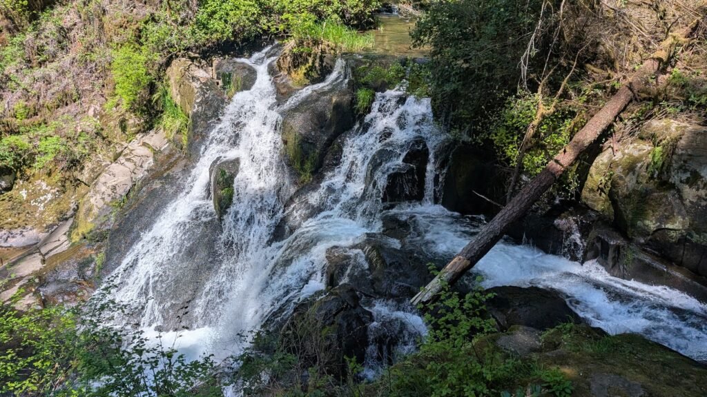
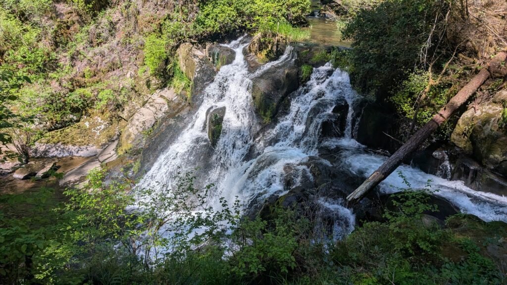
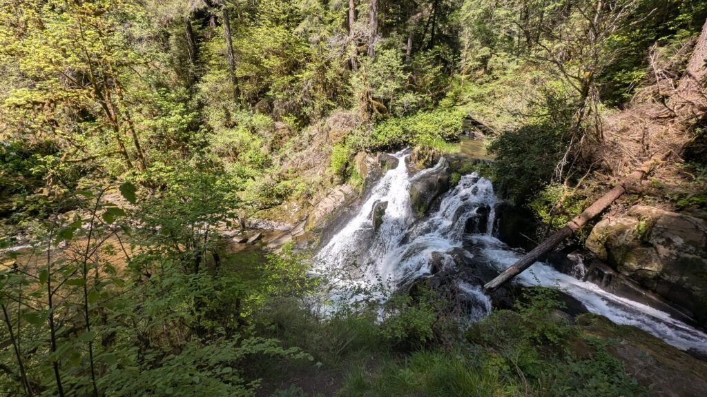
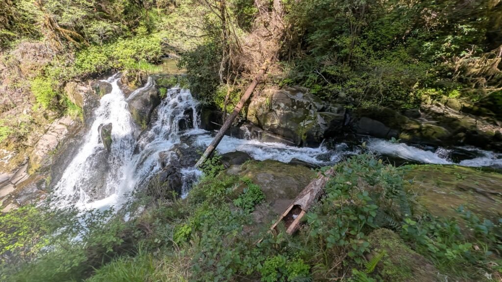
- Waterfall Type: Cascade
- Height: ~20 feet (6 m)
- Trail Distance: Two access options, see Directions below.
- Difficulty: Easy
- Best Time to Visit: Year-round; best flow fall through spring;
- Best combined with: Sweet Creek Falls, nearby trailhead.
History & Background
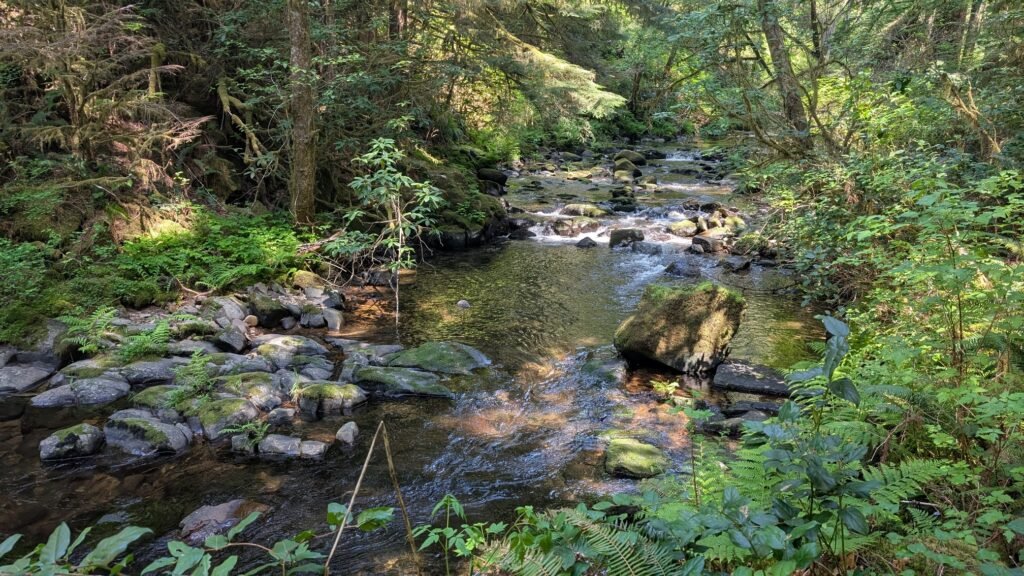
Beaver Creek Falls is a lovely cascade where Beaver Creek drops into Sweet Creek in the Siuslaw National Forest near Mapleton — a meeting of two beautiful coastal streams in a forest of towering firs and alders that one AllTrails reviewer described as so impressive they “appeared to be Redwoods.” The falls are part of Sweet Creek Trail #1319, the same trail system that accesses the celebrated Sweet Creek Falls complex, and the interpretive signs along the trail tell the story of the Sweet Family, the pioneer homesteaders for whom this entire creek and road system are named.
The Sweet Creek Road corridor — paved, winding, and beautiful — is one of the finest short scenic drives on the central Oregon Coast Range, and Beaver Creek Falls is a rewarding and lightly visited addition to any trip that includes Sweet Creek Falls. While Sweet Creek draws larger crowds with its eleven named waterfalls on a single trail, Beaver Creek Falls offers a quieter experience with equally beautiful old-growth forest and, according to those who’ve visited both, arguably comparable scenery in a more solitary setting.
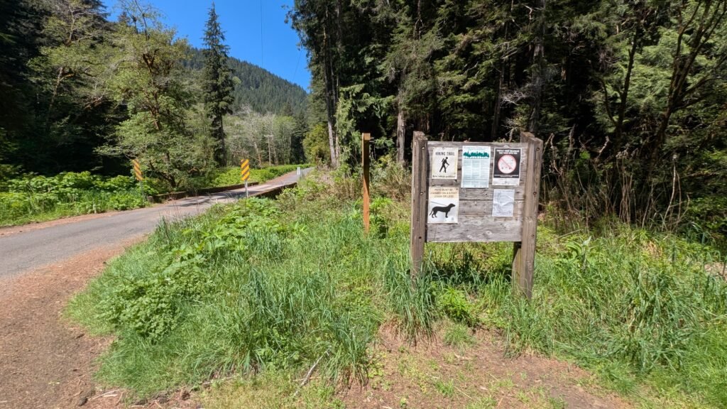
⚠️ Vehicle security note: Signage at the trailhead warns of frequent vehicle break-ins. Do not leave valuables in your car.
Geology
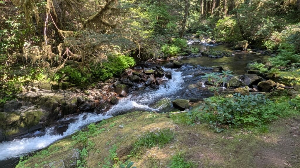
Beaver Creek Falls cascades over basaltic Coast Range bedrock at the point where Beaver Creek meets Sweet Creek at approximately 400 feet elevation in the Siuslaw National Forest. The confluence of the two creeks at the base of the falls creates a slightly wider pool and more complex water flow than a simple single-creek drop. The oceanic basalt that underlies this section of the Coast Range is the same ancient formation found throughout the Oregon Coast Range, formed from oceanic crust accreted onto the continent during the Eocene epoch over 35 million years ago. The surrounding old-growth influenced forest of Douglas fir, western hemlock, red alder, and bigleaf maple receives substantial annual rainfall from the Pacific, sustaining the perennial creek flows that feed both streams year-round.
Directions & Access
Nearest City: Mapleton, OR (20 miles East); Florence, OR (~25 miles west via Hwy 126)
Getting to Sweet Creek Road (recommended approach – always use this route): From Highway 126, cross the Siuslaw River Bridge at Mapleton (15 miles east of Florence, or 46 miles west of Eugene). Immediately after crossing the bridge, turn west onto Sweet Creek Road. This is a paved, one-lane road, narrow in places and a bit overgrown, but easily manageable for any passenger vehicle.
⚠️ If approaching from the south via forest service roads from the Kentucky Falls area: the access road from that direction is unpaved, narrow, and not recommended unless you are specifically combining this trip with a Kentucky Falls visit and are comfortable on long, rough forest service roads. Otherwise, always approach from Hwy 126 via Mapleton.
Two access options for the falls:
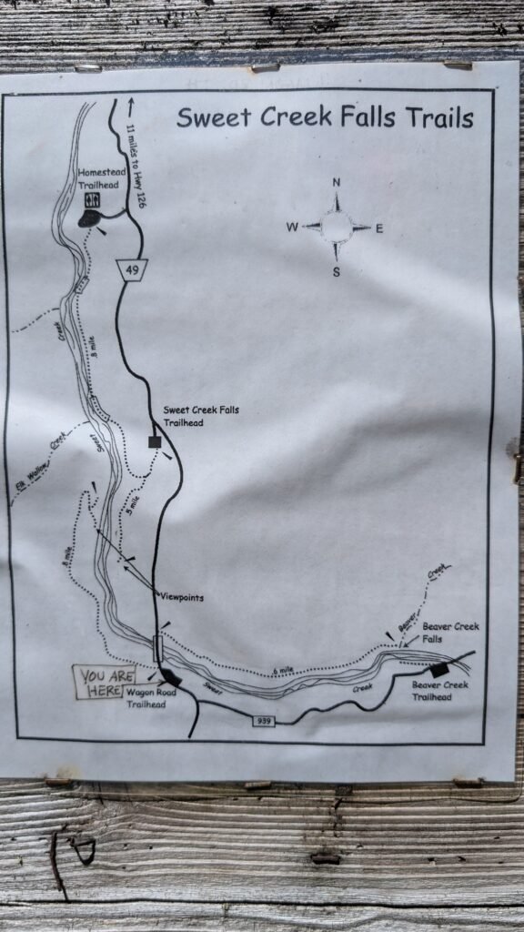
Option 1: Beaver Creek Falls Trailhead (quick, south-side view from above): Continue on Sweet Creek Road 10.2 miles past Mapleton to the Homestead Trailhead (currently closed — see note below), then continue to the Wagon Road Trailhead. Drive 0.2 miles past the Wagon Road Trailhead, then take the first fork left and drive 0.5 miles to the Beaver Creek Falls parking area. A short walk from here reaches the south side of the falls with a view from above. This is the quickest access if you’re pressed for time.
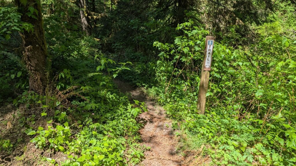
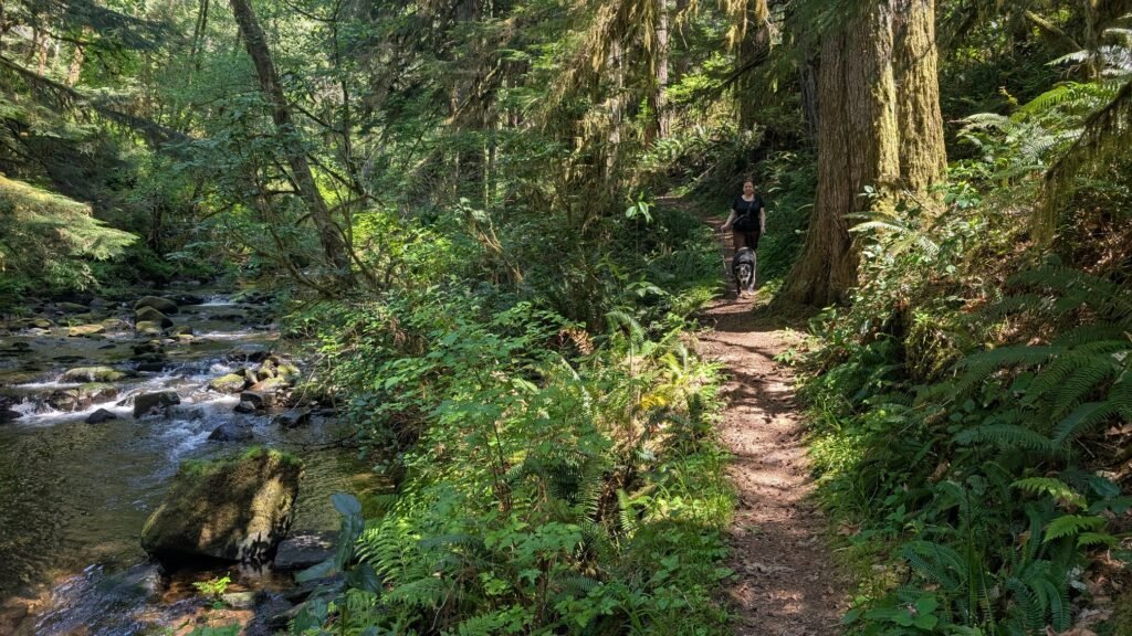
Option 2: Wagon Road Trailhead (longer walk, north-side river view): Park at the Sweet Creek Wagon Road Trailhead on Sweet Creek Road, adjacent to the Beaver Creek bridge. Walk approximately 0.5 miles east along Beaver Creek — a lovely forested creekside path with interpretive signs about the Sweet Family homestead. This approach delivers you to the north side of the falls at river level, with better access to the water and a more intimate perspective of the falls. This is the more scenic approach and the one worth taking if you have time.
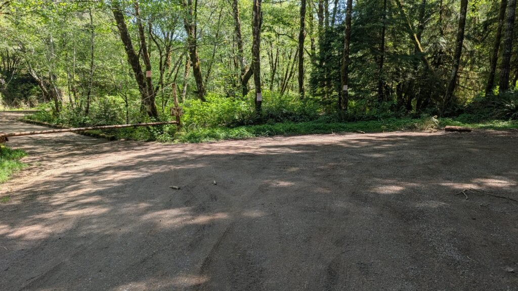
Parking: Small gravel parking area at the Beaver Creek Falls Trailhead; no fee for the trailhead itself, but a Northwest Forest Pass or equivalent America the Beautiful Pass is required to park within Siuslaw National Forest. No restrooms, no potable water, no picnic tables.
Accessibility: Easy trail with minimal elevation change on natural surfaces; may be muddy and have occasional fallen logs. Some boulder scrambling required for full access to the base of the falls at the water level. Not wheelchair accessible. Dogs welcome on leash (6 feet maximum).
Best Time to Visit
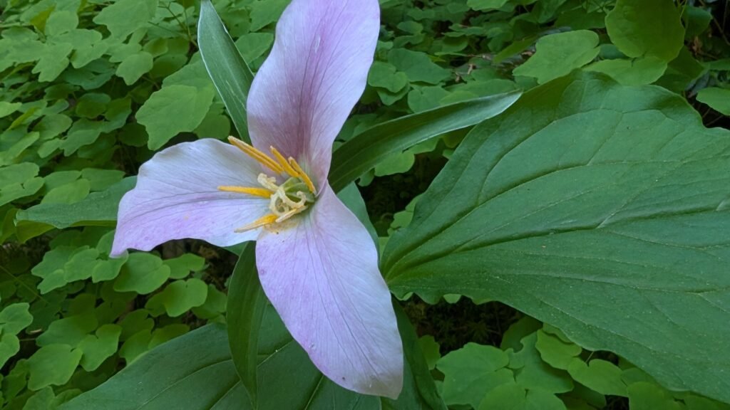
Spring: Best flows from coastal rains; surrounding forest vivid green; wildflowers along the trail; some mud and fallen logs likely.
Summer: Lower flows; the falls remain beautiful and the surrounding old-growth forest is cool and shaded; trail less crowded than Sweet Creek Falls; easier footing on dry ground.
Fall: Flows increasing with October rains; fall color from alder and bigleaf maple along Beaver Creek; salmon may appear in the lower creek; quiet season.
Winter: Highest flows; trail accessible year-round; the forest is dramatic in winter conditions; check road conditions on Sweet Creek Road after heavy rain or snow.
Nearby Attractions
- Sweet Creek Falls — the must-combine companion; parking lot north ofWagon Road Trailhead. Plan to do both in the same visit.
- Kentucky Falls (~25 miles south via forest roads — Upper Kentucky Falls, Lower Kentucky Falls, North Fork Falls; combine for a full-day adventure but be prepared for long narrow forest roads)
- Mapleton, Oregon
- Florence (~25 miles west, Oregon Dunes, Heceta Head Lighthouse)
- Siuslaw River (salmon and steelhead fishing)
References
-
Links:
- USFS Siuslaw — Sweet Creek Trail-Beaver Creek Falls Trailhead
- AllTrails — Beaver Creek Falls Trail
- USFS — Sweet Creek Falls Trail #1319
- USFS Siuslaw Current Alerts
Books:
- Waterfall Lover’s Guide: Pacific Northwest by Greg Plumb
Map
Sorry, no records were found. Please adjust your search criteria and try again.
Sorry, unable to load the Maps API.