
Profile
Overview
- Location: Coos County, Oregon Coast Range (East Fork Coquille River, near Sitkum — on the historic Coos Bay Wagon Road)
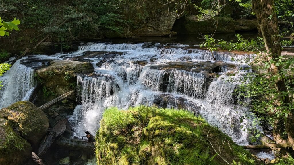
- Waterfall Type: Cascade
- Height: ~20 feet (6 m)
- Trail Distance: No hike required — roadside viewpoint
- Difficulty: Easy
- Best Time to Visit: Spring through fall (road not recommended in winter)
- Combine with: Middle East Fork Falls, Little East Fork Falls, and Upper East Fork Falls, within about one mile on the same road
History & Background
Lower East Fork Falls sits along one of Oregon’s most historically significant back roads: the Coos Bay Wagon Road, also known as Sitkum County Line Road. The Coos Bay Wagon Road was one of four federally-contracted roads constructed in the early 1870s in Oregon, and remains the only one still in use. Travelers on the original road could start in either Tenmile or Lookingglass near Roseburg, with the route passing through Reston, Sitkum, Dora, McKinley, and Fairview before ending in Sumner south of Coos Bay. The road follows the East Fork Coquille River from near the Coos/Douglas county line to Dora. In other words, the river that feeds Lower East Fork Falls is the same waterway that guided Oregon pioneers, freight wagons, and early settlers between the interior valleys and the coast for over 150 years.
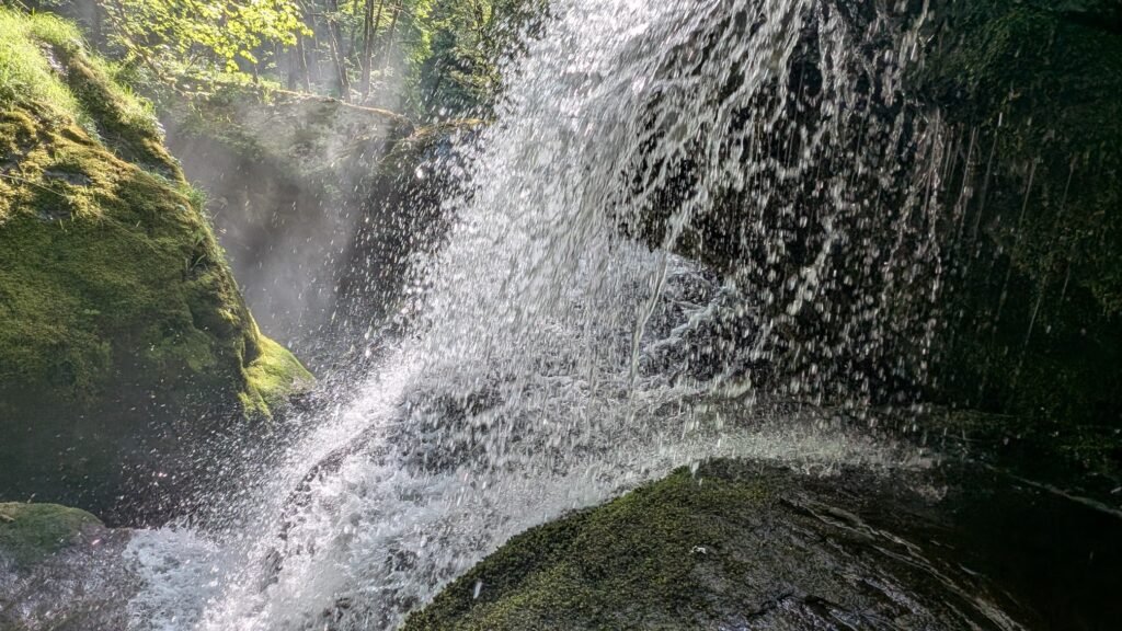
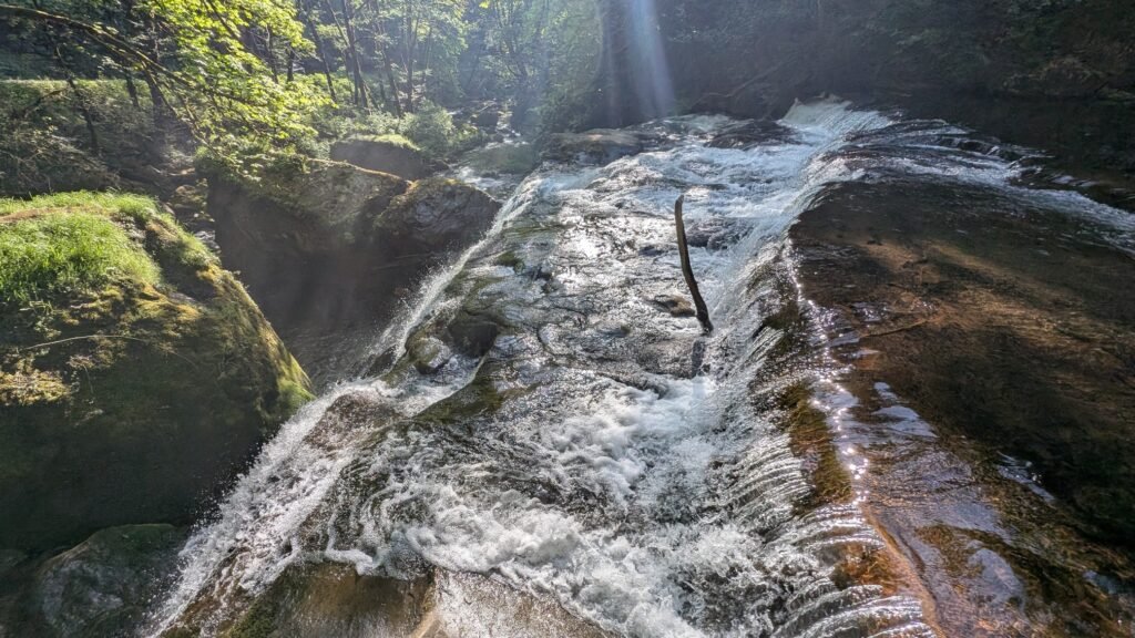
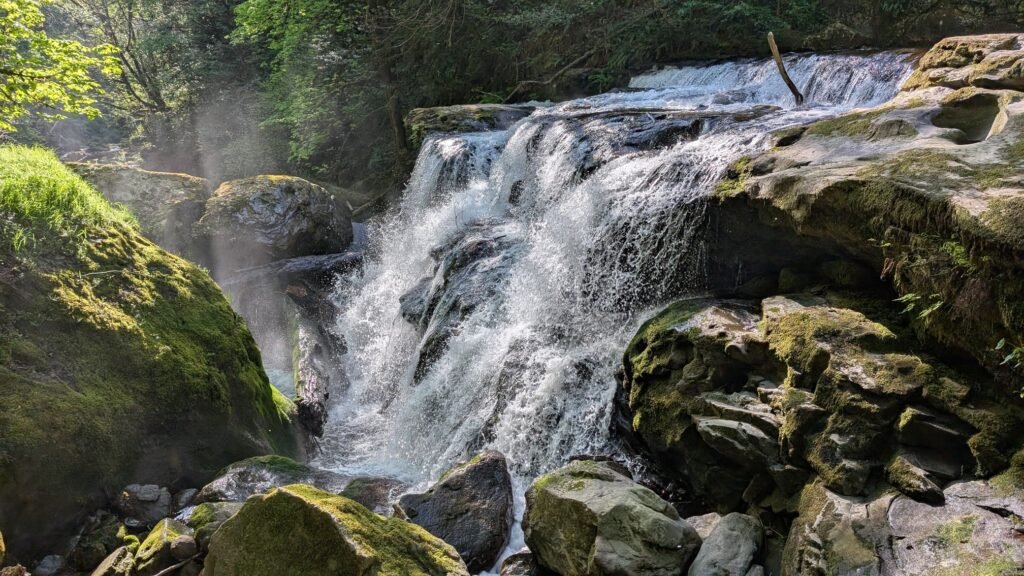
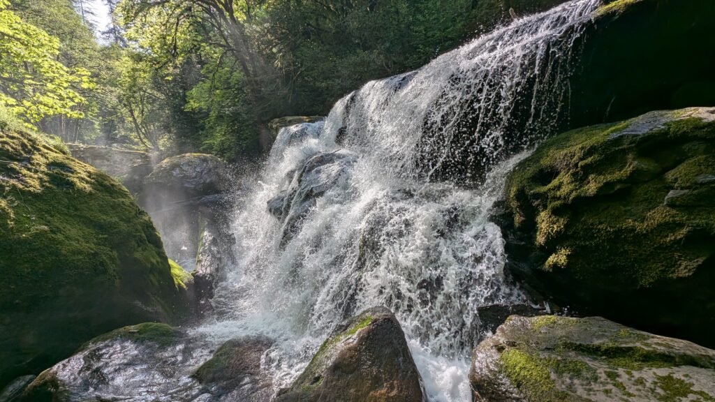
Today the road offers a quiet, scenic alternative to Highway 42 between Coquille and the Winston/Roseburg area — and along a short stretch of it, four named waterfalls appear in quick succession: Lower East Fork Falls, Little East Fork Falls, Middle East Fork Falls, and Upper East Fork Falls. All are within about one mile of each other on the road. Lower East Fork Falls is the first you’ll encounter approaching from the west, a modest 20-foot cascade with a pleasant swimming hole below that makes it a worthwhile quick stop, especially when combined with its neighbors along the corridor.
Be honest with your expectations: this is a roadside cascade in the southern Coast Range, not a destination waterfall. The Oregon Waterfalls blog, which visited the East Fork corridor in 2021, put it plainly — Lower East Fork Falls offers no particular adventure, but as part of a scenic drive on a living piece of Oregon pioneer history, the whole corridor is worth the detour.
Geology
Lower East Fork Falls cascades over a ledge on the East Fork Coquille River at approximately 300 feet elevation in the southern Oregon Coast Range. The Coast Range here transitions toward the Klamath Mountains geological province, with the ancient oceanic basalt typical of the northern Coast Range giving way to a more complex mix of volcanic and metamorphic rocks characteristic of the Coos-Douglas county line area. The surrounding forest of Douglas fir, red alder, and bigleaf maple reflects the moist coastal climate, and the East Fork Coquille itself is a productive salmon and steelhead stream running through a largely forested and lightly settled watershed.
Directions & Access
Nearest City: Coquille, OR (~13 miles west via the Coos Bay Wagon Road
Road note: Several sections of the Coos Bay Wagon Road are gravel and the road has a reputation for potholes. It was in fair condition during my 2026. Not recommended in winter, the gravel sections can become problematic in wet weather. Any other season is generally fine for a standard passenger car.
From Coquille (western approach — easier to spot falls):
- From Hwy 42 East in Coquille, turn left on Central Blvd
- After 1 mile, turn left onto Fairview Road
- After 8.3 miles, turn right onto Lone Pine Road (extremely twisty)
- After another 8.3 miles, turn left onto Coos Bay Wagon Road (Sitkum County Line Road)
- After 8.1 miles, at the tiny community of Sitkum, turn right to stay on Coos Bay Wagon Road
- Lower East Fork Falls appears after 4.6 miles
- Little East Fork Falls is about 800 feet further up the road
- Middle East Fork Falls is another 0.35 miles, at a bend in the road
- Upper East Fork Falls is 0.25 miles past Middle East Fork Falls
From the east (Winston/Roseburg direction): Approach via Tenmile or Lookingglass Road from Douglas County and follow the Coos Bay Wagon Road west — you’ll encounter the falls in reverse order. The road is a longer but genuinely scenic alternative to Hwy 42 for the Coquille to Roseburg drive.
Parking: Roadside pullout at the falls; no fee; no facilities anywhere on the corridor.
Accessibility: Roadside viewpoint; no hiking required; accessible for most visitors. Can take a short walk/scramble down to the falls
Best Time to Visit
Spring: Good flows from coastal rains; surrounding alder and maple vivid green; road in good condition.
Summer: Reduced flow but the swimming hole below the falls is a pleasant stop; road at its best condition; combine with Middle East Fork Falls.
Fall: Flows returning with October rains; fall color from riverside alders and bigleaf maple; quiet back road experience.
Winter: Road not recommended — gravel sections can be difficult in wet or icy conditions. Visit another time.
Nearby Attractions
- Middle East Fork Falls (~0.35 miles east on same road — the most impressive of the East Fork corridor; accessible to the base by a short bushwhack)
- Little East Fork Falls (~800 feet east of Lower East Fork Falls — an unofficial ~10-foot cascade noted by waterfall enthusiasts)
- Upper East Fork Falls (~1 mile east — small cascade; rustic camp spot; not universally recognized as a true waterfall)
- Golden and Silver Falls State Natural Area (~30 miles northwest — easily combined for a full Coos County waterfall day)
- Coquille, Oregon (county seat of Coos County)
- Bandon (~20 miles southwest)
References
-
Links:
- Coos Bay Wagon Road — Wikipedia
- Coos Bay Wagon Road Falls — oregonwaterfalls.wordpress.com
- Oregon’s Adventure Coast — Coos Bay Area
- Northwest Waterfall Survey — Lower East Fork Falls
Books:
- Waterfall Lover’s Guide: Pacific Northwest by Greg Plumb
Map
Sorry, no records were found. Please adjust your search criteria and try again.
Sorry, unable to load the Maps API.