
Profile
Overview
- Location: Coos County, Golden and Silver Falls State Natural Area (near Coos Bay)
- Waterfall Type: Horsetail
- Height: ~254 feet (77 m) — second or third tallest waterfall in the Oregon Coast Range
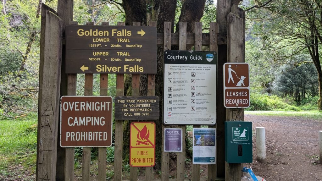
- Trail Distance: ~0.3 miles round-trip to base of falls; 1.4 miles one-way to top viewpoint; full trail system ~3 miles
- Difficulty: Easy
- Best Time to Visit: Winter through spring; may diminish significantly in summer
History & Background
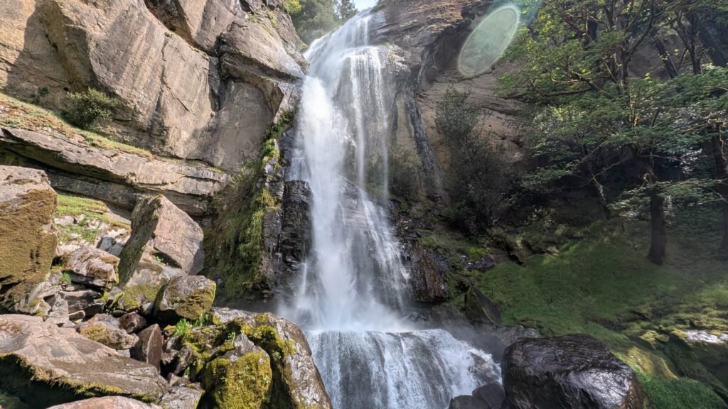
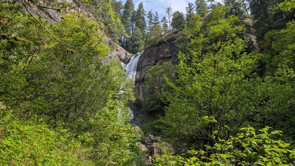
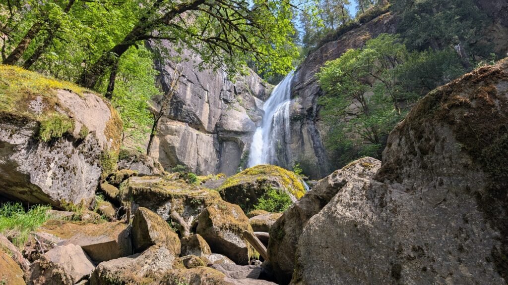
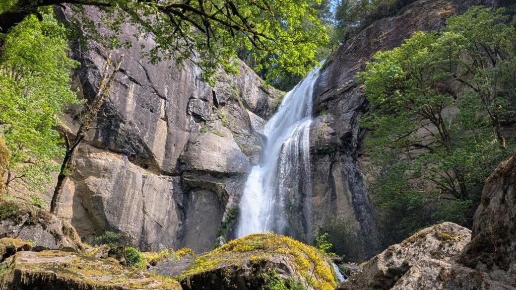
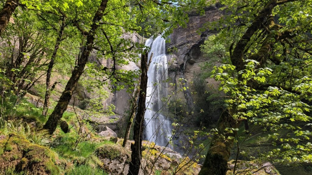
Golden Falls is one of the most spectacular and remote waterfalls on the Oregon Coast — a thundering 254-foot horsetail that crashes through a narrow slot canyon on Glenn Creek in the dense forests of Coos County. It shares a state natural area with Silver Falls (~259 feet), and together they rank among the second and third tallest waterfalls in the Oregon Coast Range, after Munson Creek Falls in Tillamook County. Golden Falls was named for Dr. C.B. Golden, the first Grand Chancellor of the Knights of Pythias of Oregon and among the earliest Euro-American visitors to the falls. In 1936, Waterford Lumber Company donated the original parkland to the state. Coos County later deeded 17 acres including Silver Falls — land originally gifted to the county by Weyerhaeuser Timber Company in 1935. The trail to the top of Golden Falls follows a historic pack trail transformed into a wagon road in 1901 by four homesteaders, wide enough for a Model T; an automobile stage briefly operated this route between 1912 and 1916.
Geology
Golden Falls plunges 254 feet over a sheer sandstone cliff — not the basalt typical of most Oregon Coast Range waterfalls. The falls drop through a narrow slot canyon where Glenn Creek is constricted by ancient sandstone walls, creating one of the most dramatic vertical drops in the Coast Range. Silver Falls nearby drops over a bulbous sandstone dome rather than a cliff face, giving it a distinctive rounded, spreading character. Both falls are fed by the substantial precipitation of the interior Coos County hills, where annual rainfall can exceed 80 inches. The surrounding old-growth forest of Douglas fir, western red cedar, and rare Oregon myrtle (California bay laurel) reflects the Klamath Mountains’ extraordinary biodiversity.
Directions & Access
- Nearest City: Coos Bay, OR (~24 miles west via the Allegany road)
- Trail Information:
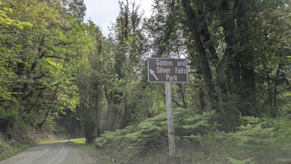
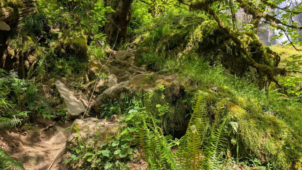
- From Coos Bay, take Highway 241 (Coos River Highway) toward Allegany; continue to Glenn Creek Road to the park (final 3 miles are one-lane gravel); three trails branch from the parking area — left to Silver Falls base (~0.3 mi), right via footbridge to Golden Falls base (~0.3 mi), and center trail climbing to Silver Falls midpoint and Golden Falls top viewpoint (~1.4 mi one-way)
- The top-of-Golden-Falls trail ends at an unrailed cliff edge 300 feet above Glenn Creek — exercise extreme caution and keep children close; no guardrails; the edge crumbles
- Parking:
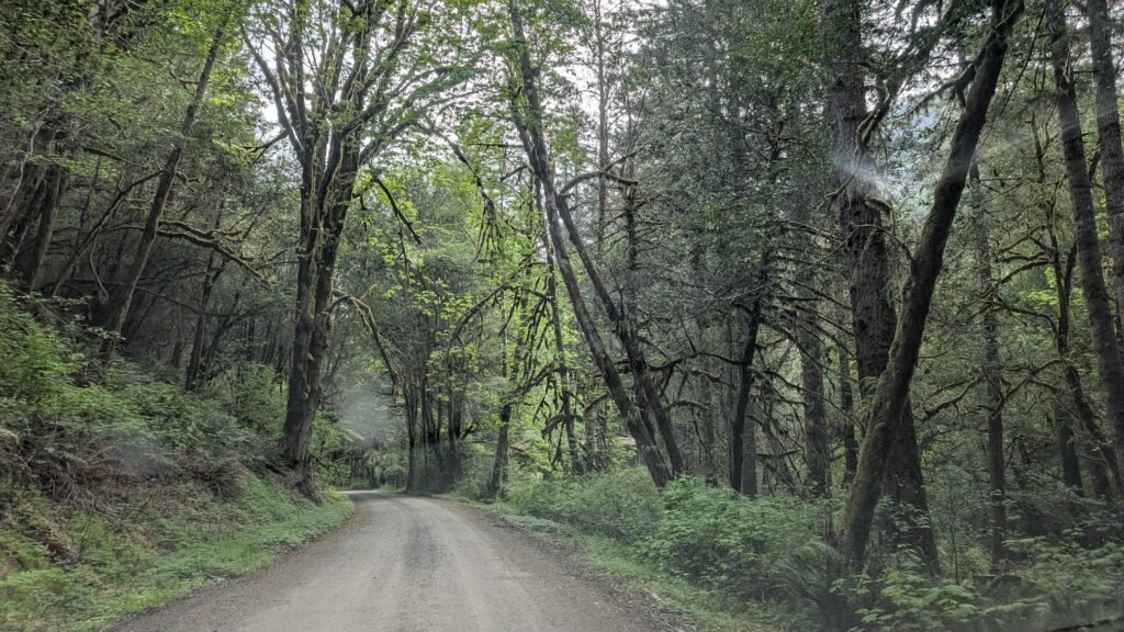
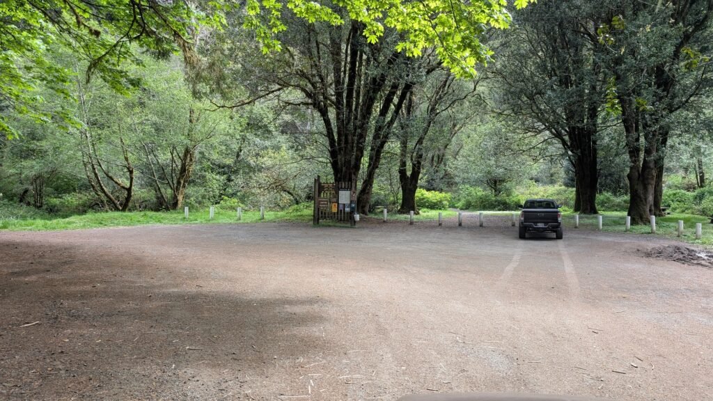
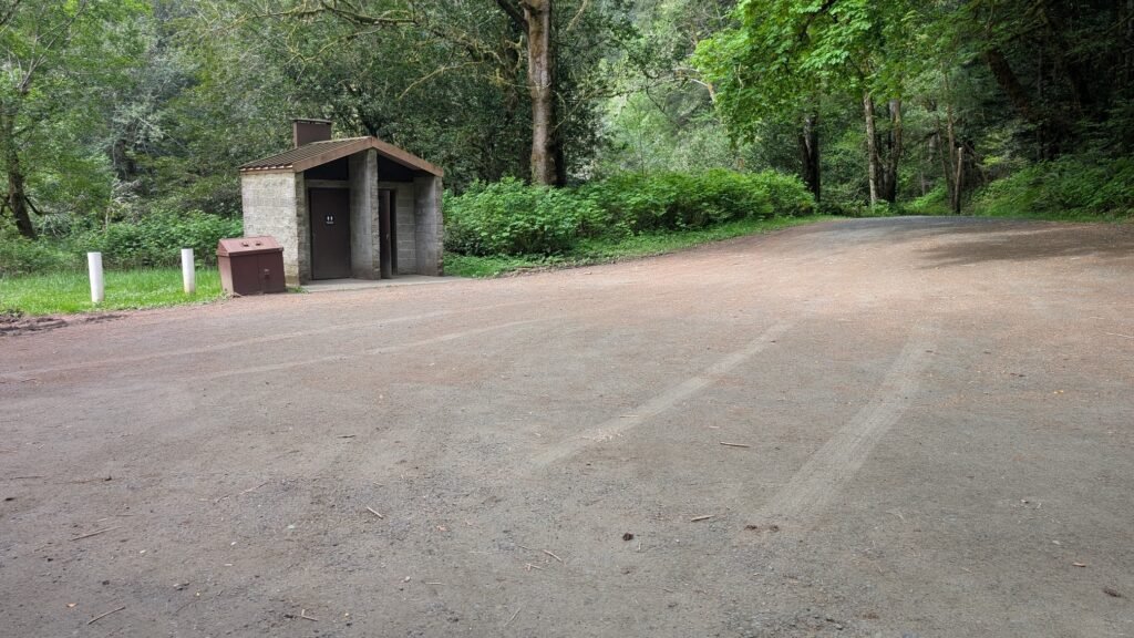
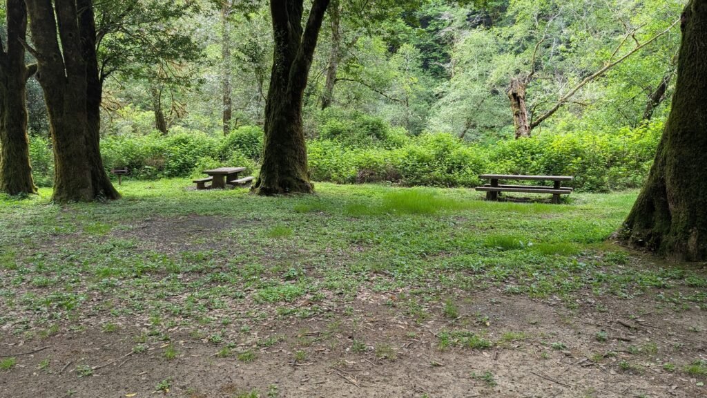
- Small parking and picnic area at the confluence of Glenn and Silver Creeks; vault toilet on-site; no parking fee; the access road narrows to one lane for the final 3 miles — SUV or high-clearance vehicle may be helpful for the gravel road in bad weather, however during the summer a low-clearance car can easily make the drive.
- Accessibility:
- Not wheelchair accessible; natural trail surfaces with significant elevation gain on the upper trail
Best Time to Visit
- Spring: Peak water volume; Golden Falls thunders at its most powerful; Silver Falls at full curtain width; the slot canyon roars — one of Oregon’s most dramatic waterfall experiences
- Summer: Both falls diminish significantly — Silver Falls can nearly dry up; Golden Falls reduces to a partial flow; the old-growth forest remains beautiful
- Fall: Flows return with October rains; old-growth forest is scenic year-round; the access road may be muddy
- Winter: Highest flows; both falls at maximum power; road may be rough after winter storms but generally passable
Nearby Attractions
- Silver Falls (259 ft, same park)
- Allegany (historic community)
- Coos Bay and North Bend
- Shore Acres State Park (~40 miles west)
- Oregon Dunes National Recreation Area
References
- Links:
- Books:
- Oregon Waterfalls by Greg Plumb
- Waterfall Lover’s Guide: Pacific Northwest
Map
Sorry, no records were found. Please adjust your search criteria and try again.
Sorry, unable to load the Maps API.