
Profile
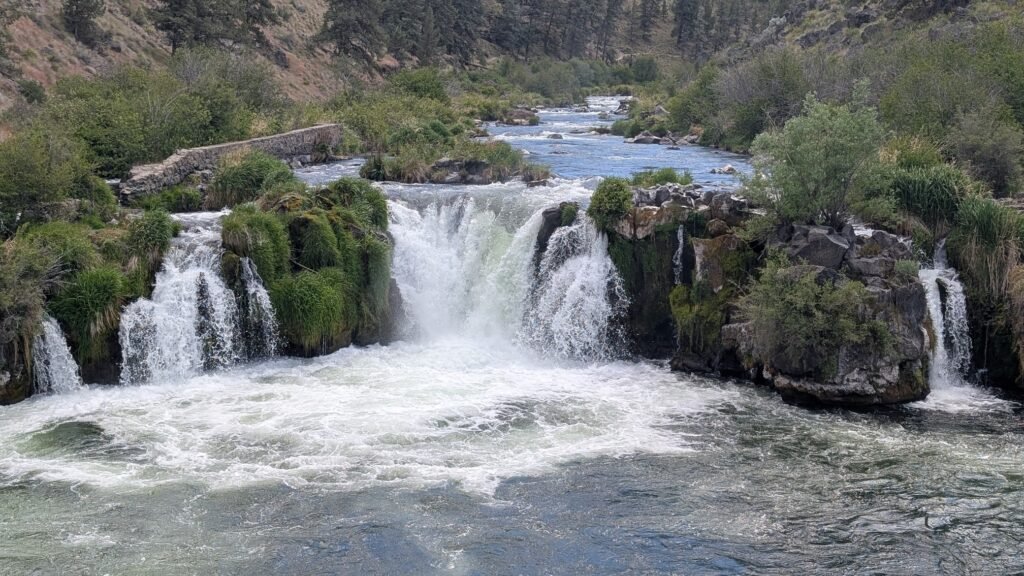
Steelhead Falls Overview
Location: Jefferson County, Deschutes Canyon-Steelhead Falls Wilderness Study Area (Deschutes River, BLM Prineville District Office, near Terrebonne)
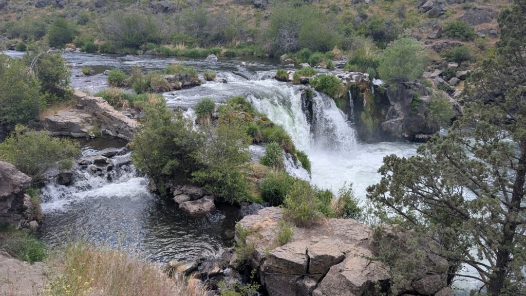
Waterfall Type: Punchbowl
Height: ~20 feet (6 m)
Trail Distance: ~1 mile round-trip to the falls; up to 3.5 miles with the Foley Waters Trail extension
Difficulty: Easy (with one small steep section near the falls; trail damage near the falls requires sturdy shoes and careful footing)
Best Time to Visit: Year-round; spring offers best wildflowers and flows; open for day use and camping
History & Background
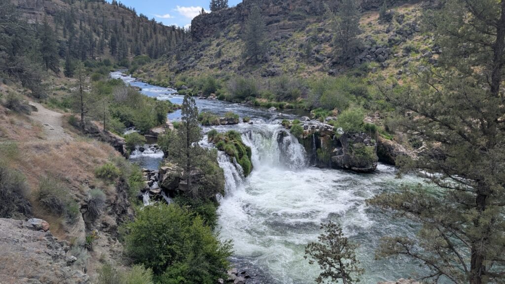
Steelhead Falls is a 20-foot punchbowl on the Deschutes River, tucked at the bottom of one of the most visually striking canyon sections of the upper Deschutes — a high-desert gorge of columnar basalt that most visitors driving past Terrebonne on Highway 97 never know exists. The falls are named for the wild steelhead that historically concentrated below this natural barrier during upstream migrations, and the cold, clear Deschutes still supports excellent fishing throughout this stretch today.
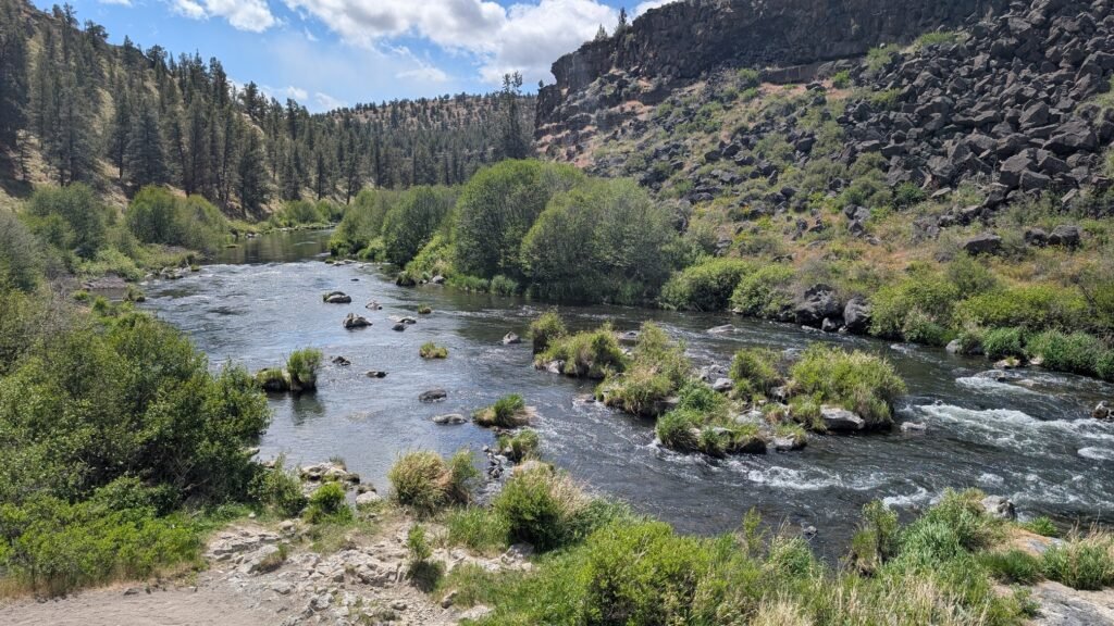
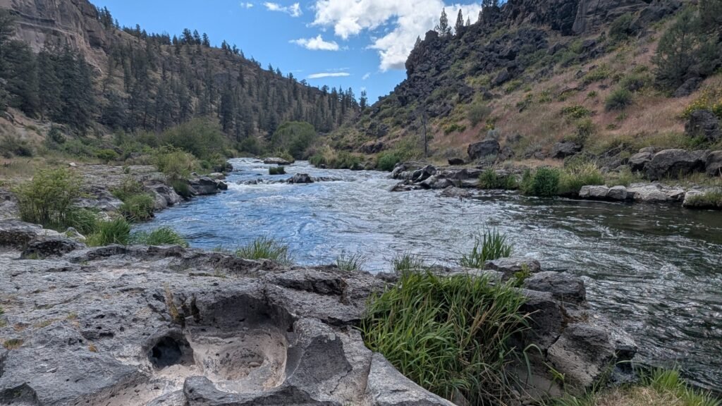
Be honest about expectations going in: the falls are not the primary attraction here. What makes Steelhead Falls worth visiting is the canyon. Colorful grooves decorate cliffs and show the erosion of time. Wildflowers dot the slopes in the spring and golden eagles soar overhead. The short trail descends into a basalt canyon landscape that feels completely removed from the high desert plateau above — one of the more surprising trail experiences available within easy driving distance of Redmond or Bend.
The site is managed by the BLM Prineville District as part of the Deschutes Canyon-Steelhead Falls Wilderness Study Area (WSA), located in a triangle formed by the towns of Madras, Redmond, and Sisters in Central Oregon, along the upper Deschutes River, within and adjacent to the USFS-administered Crooked River National Grasslands. The WSA designation protects the area’s roadless character and natural qualities while it undergoes ongoing wilderness review.
Geology
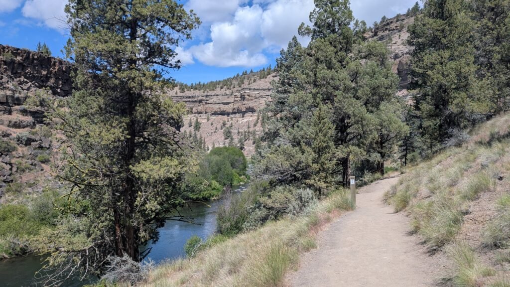
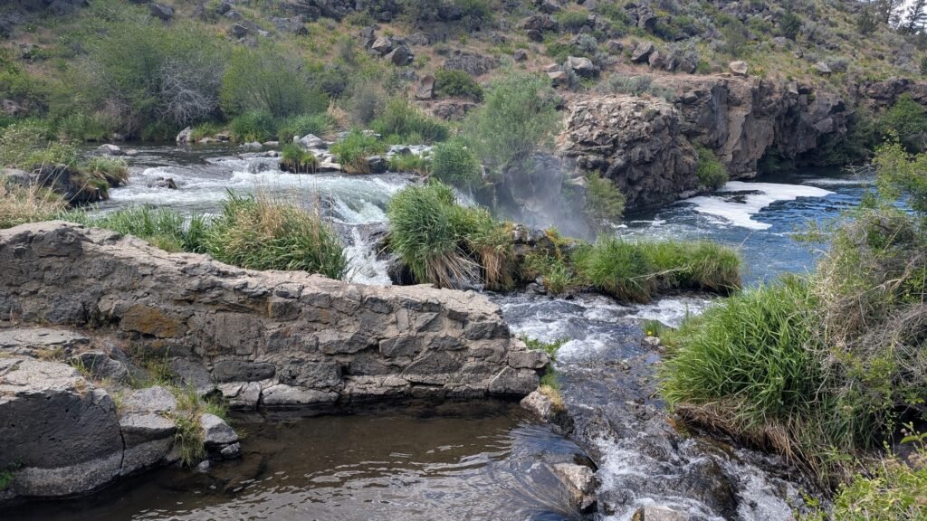
Steelhead Falls drops into a punchbowl at approximately 2,900 feet elevation on the Deschutes River, where a resistant basalt ledge creates a hydraulic concentration of the river’s spring-fed flow. The canyon walls expose spectacular columnar basalt formations — layered volcanic flows from the High Cascades volcanic system cut by the Deschutes over millions of years. The river here maintains remarkably consistent, cold, clear flows year-round, fed by extensive spring systems in the volcanic uplands of the plateau above. The surrounding landscape of sagebrush, bunchgrass, and western juniper on the canyon rim gives way to a lush riparian corridor of willows, cottonwoods, and wildflowers in the canyon bottom — the dramatic contrast between the open high desert above and the green river corridor below is visible from the trail’s descent.
Directions & Access
Nearest City: Terrebonne, OR (~3 miles east); Redmond, OR (~8 miles south)
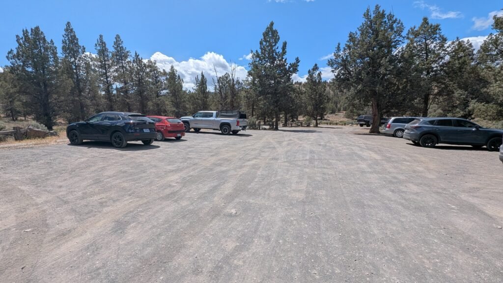
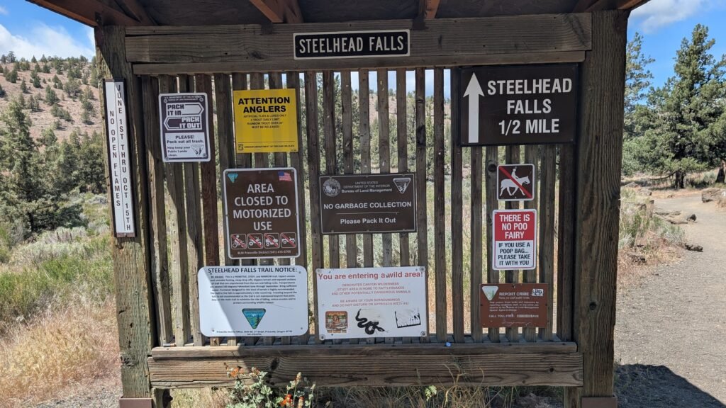
Important note on the drive: The route to the trailhead is a meandering series of rural roads west of Terrebonne that will feel disorienting — don’t be discouraged. The turns through residential and ranchland are confusing, but the roads eventually funnel into a well-developed parking area with a marked trailhead and vault toilets.
Official BLM directions: From Redmond, head north on Hwy 97 to Terrebonne and turn west on NE Lower Bridge Way. Go two miles and take a right on NW 43rd Street. Follow that 1.8 miles to Chinook Drive. Go almost a mile and take a left onto Badger Road. Travel one mile and turn right on Quail Road. Follow Quail Road for half a mile and take a left on River Road. Take River Road downhill to the Steelhead Falls Trailhead and campground.
The parking area at the end is large, well-developed, and clearly marked — the contrast with the wandering drive in is notable.
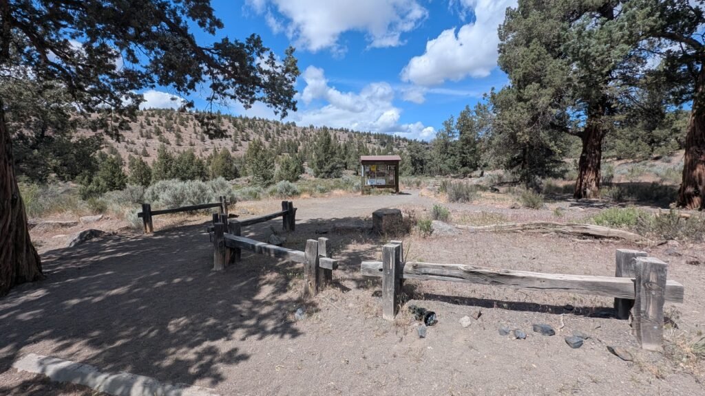
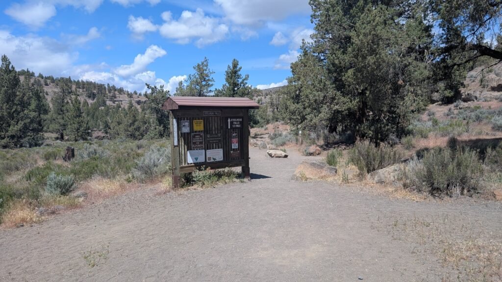
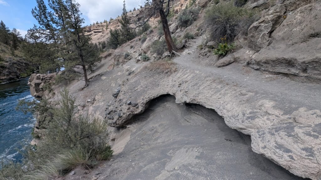
Trail: The trail to the falls is relatively easy, with one small, steep section. From the trailhead, the well-maintained trail descends into the canyon approximately 0.5 miles to the falls. Some trail damage has occurred near the end of the trail near the falls — wear sturdy shoes and watch your footing on the final approach. The view from the canyon bottom, looking out over the basalt walls and the river, is the reward.
Foley Waters Trail extension: Take the Foley Waters trail off the south end of the Steelhead Falls parking lot for some more views. This extension adds additional canyon and river scenery and is what brings the total AllTrails distance to 3.5 miles.
Facilities: Large developed parking area; vault toilets; no potable water — bring your own. Open for overnight camping; sites are first come, first served. Campfires are allowed; fire restrictions are in effect in summer.
⚠️ Rattlesnakes: Watch where you put your feet and hands: rattlesnakes can hide around rocks and under brush. Exercise the usual caution in rocky terrain.
Activities: Hiking, fishing, swimming, picnicking, camping, photography. The pool at the base of the falls is suitable for swimming when flows permit.
No fees. Dogs permitted, should remain under owner control; leashed at the trailhead and camping area.
BLM Trail Map: Download PDF
Best Time to Visit
Spring (March–May): Best wildflowers on the canyon slopes; golden eagles active; wildflowers dot the slopes in the spring; best river flows.
Summer: Hot canyon conditions — carry plenty of water; the swimming pool at the falls is popular; campfire restrictions in effect; wildflowers gone but canyon scenery is excellent.
Fall: Excellent temperatures; golden bunchgrass on the canyon rim; consistent river flows; less crowded than summer.
Winter: Open year-round; the Deschutes maintains consistent flows through winter; dramatic light on the basalt canyon walls in winter conditions.
Nearby Attractions
Smith Rock State Park (~8 miles south — world-class rock climbing and hiking in the Crooked River canyon)
Cline Falls — Deschutes River cascade near Redmond; worth combining
Odin Falls — Crooked River canyon, BLM, near Terrebonne; same general area
Terrebonne and Redmond
Lake Billy Chinook (~20 miles northwest — reservoir at the Crooked/Deschutes/Metolius confluence)
Crooked River National Grasslands (adjacent to the WSA)
References
Links:
- BLM — Steelhead Falls Trail (official page)
- BLM — Steelhead Falls Trail Map (PDF)
- BLM — Steelhead Falls Brochure (PDF)
- AllTrails — Steelhead Falls Trail
- BLM — Prineville District Office
- BLM Photo Album — Steelhead Falls (Flickr)
Books:
- Waterfall Lover’s Guide: Pacific Northwest by Greg Plumb
Map
Sorry, no records were found. Please adjust your search criteria and try again.
Sorry, unable to load the Maps API.