
Profile
Overview
- Location: Coos County, Golden and Silver Falls State Natural Area (near Coos Bay / Allegany); not to be confused with the Silver Falls State Park, which ironically, does not contain a waterfall named Silver Falls.
- Waterfall Type: Plunge
- Height: ~259 feet (79 m) — the second-tallest waterfall in the Oregon Coast Range
- Trail Distance: ~0.3 miles one-way to base (easy trail); ~0.9 miles one-way via upper trail to overlook above falls
- Difficulty: Easy
- Best Time to Visit: Year-round; best flow fall through spring, easily combined with a hike to Golden Falls.
History & Background
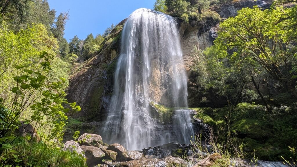
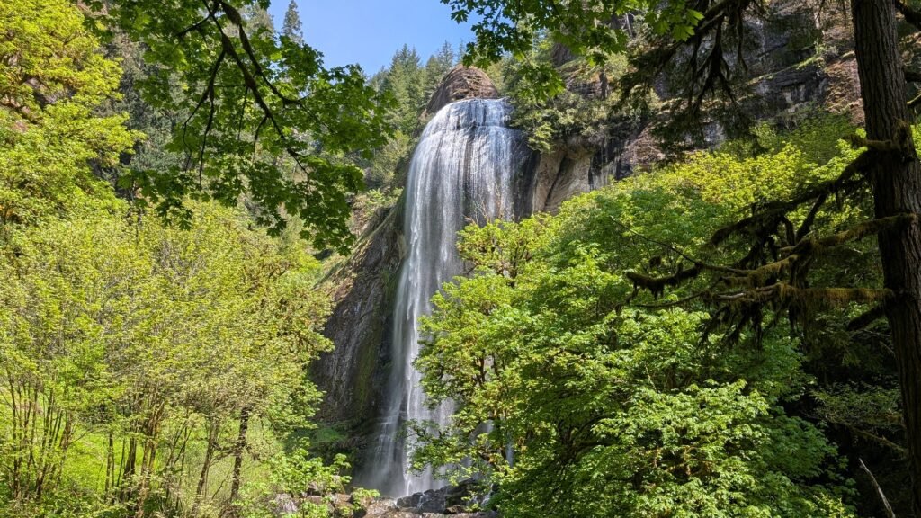
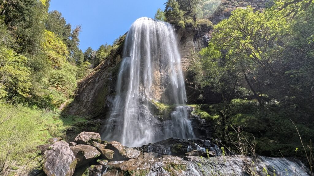
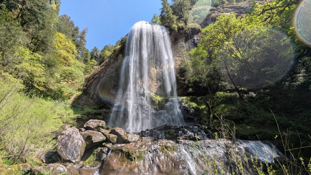
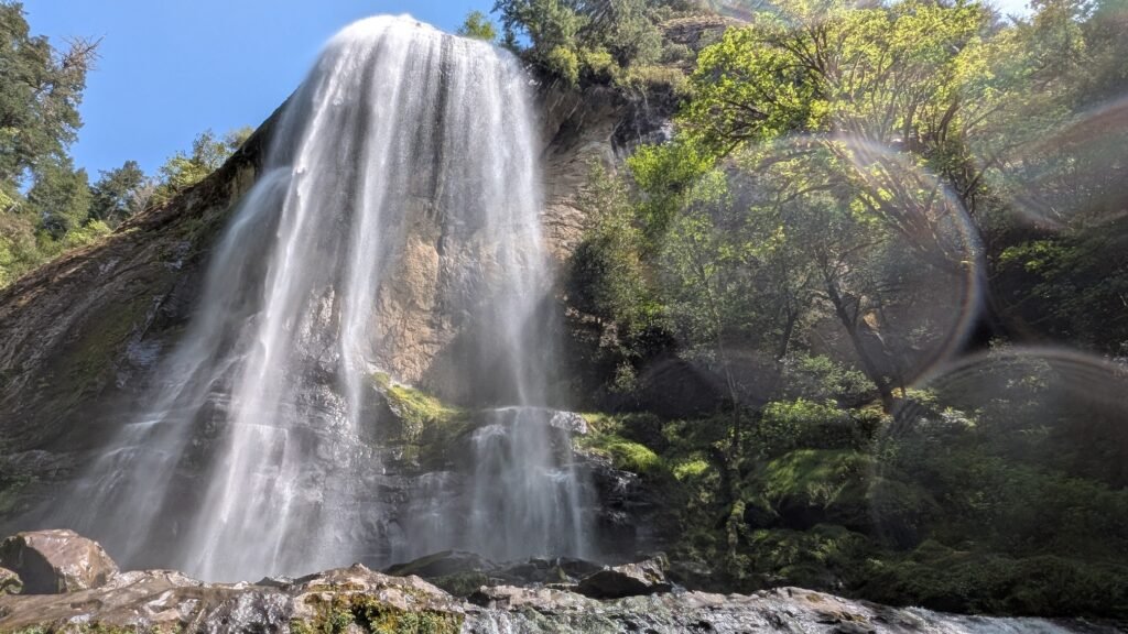
Silver Falls at Golden and Silver Falls State Natural Area is a spectacular 259-foot plunge waterfall in the dense coastal forests of southwestern Oregon — the second-tallest waterfall in the Oregon Coast Range after Munson Creek Falls. At 259 feet, Silver Falls is actually taller than its partner Golden Falls (254 feet), though Golden’s warm sandstone cliff color and dramatic cascade have given it perhaps slightly more fame. Together they rank among the most impressive waterfall pairings in Oregon. The state natural area is situated 24 miles northeast of Coos Bay via winding backroads, and the final 3 miles narrow to a one-lane gravel road — creating a genuine sense of discovery. In 1936, Waterford Lumber Company donated the original land for the park after Coos County and the state made the road a secondary highway. A remarkable bit of history: a pack trail converted to wagon road in 1901 by four homesteaders traverses this area — an automobile stage operated the route from 1912 to 1916 on a road barely wide enough for a Model T. Silver Falls flows over a moss-covered rock face that can be approached closely — visitors who time the visit with manageable water levels can wade directly beneath or into the spray zone.
Geology
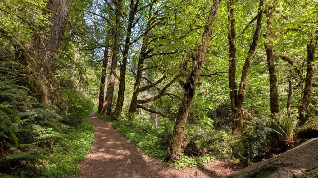
Silver Falls plunges 259 feet down a moss-blanketed volcanic and sandstone rock face at approximately 700 feet elevation on Silver Creek in the southern Oregon Coast Range. The falls drops over an ancient formation of sandstone and basalt that has been dramatically eroded and draped in the extraordinary vegetation of the southern Coast Range. The surrounding forest of towering old-growth Douglas fir, Oregon myrtle (California bay laurel), red alder, and bigleaf maple represents one of the finest remaining stands of old-growth coastal forest in Oregon — some trees here are several centuries old. The geology of the southern Coast Range transitions toward the Klamath Mountains province, creating the complex mix of rock types visible in the canyon walls.
Directions & Access
- Nearest City: Coos Bay, OR (~24 miles southwest); Allegany, OR (~9 miles west)
- Trail Information:
- From Coos Bay, follow Coos River Highway northeast to Allegany and continue on the signed road approximately 9 more miles (final 3 miles one-lane gravel) to the park; the left trail from the parking area leads 0.3 miles to the base of Silver Falls; the middle (upper) trail climbs 0.9 miles past Silver Falls to an overlook at the top of Golden Falls
- No fee or day-use pass required; parking and picnic area at the trailhead; GPS may give incorrect directions — approach from Allegany and follow signs; the upper trail to the top of Golden Falls has unrailed cliff edges — watch children carefully
- Parking:
- Free parking at Golden and Silver Falls State Natural Area; no fee; Oregon State Parks manages the site; picnic tables available
- Accessibility:
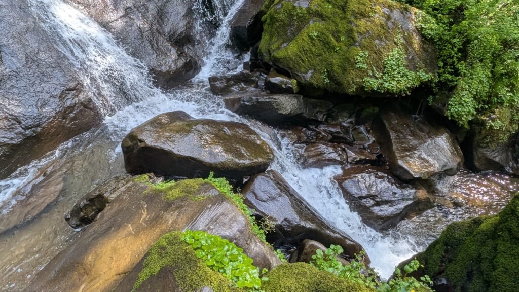
- The lower Silver Falls trail (0.3 miles) is short and relatively easy; not formally wheelchair accessible but accessible to most visitors; rocks near falls are slippery — exercise caution
Best Time to Visit
- Spring: Excellent flows; both falls most powerful; old-growth forest vivid green; wildflowers along the trail
- Summer: Lower flows; still beautiful; visitors can approach closer to the base; warm and popular
- Fall: Good flows returning with October rains; old-growth maple foliage spectacular; quieter crowds
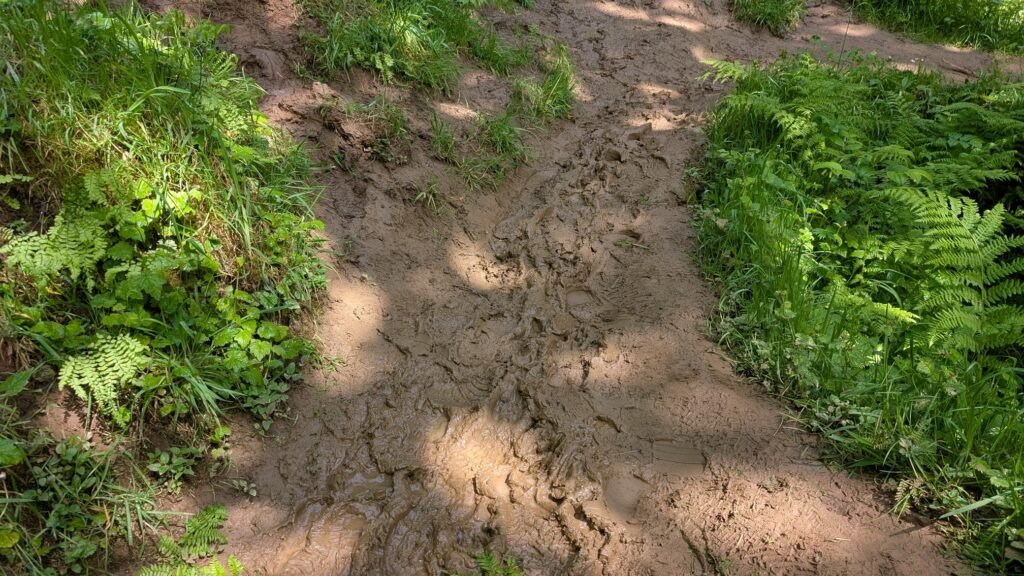
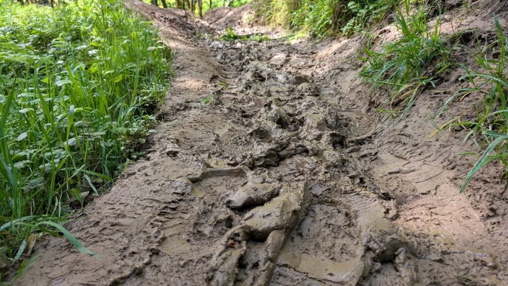
- Winter: Highest flows; both falls most dramatic; gravel access road may be muddy — high-clearance helpful after heavy rain
Nearby Attractions
- Golden Falls (254 ft, same park — 0.3 miles from parking)
- Allegany, Oregon
- Coos Bay and North Bend
- Shore Acres State Park (~30 miles southwest)
- South Slough National Estuarine Research Reserve
References
- Links:
- Books:
- Oregon Waterfalls by Greg Plumb
- Waterfall Lover’s Guide: Pacific Northwest
Map
Sorry, no records were found. Please adjust your search criteria and try again.
Sorry, unable to load the Maps API.