
Profile
Overview
- Location: Crater Lake National Park, Southern Oregon
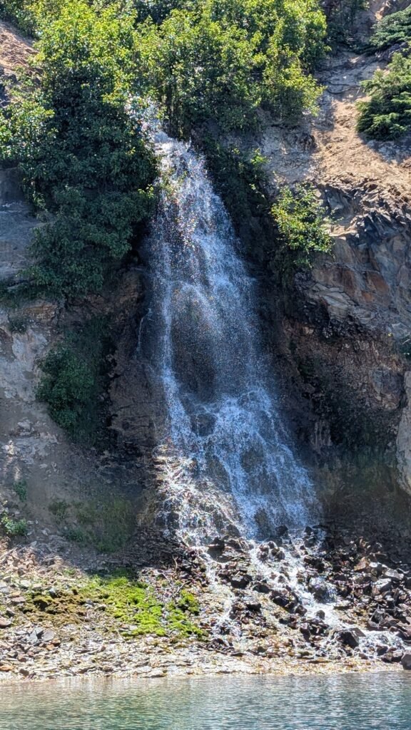
- Waterfall Type: Cascade
- Height: ~35 feet (10 m)
- Trail Distance: Only visible from a Crater Lake boat tour. (Closed for 2026-2027 seasons)
- Difficulty: Easy
- Best Time to Visit: July through October
History & Background
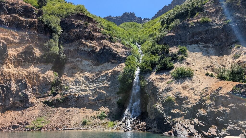
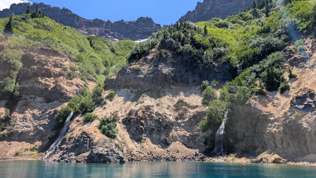
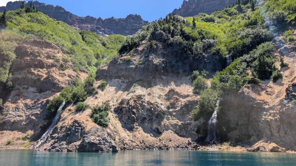
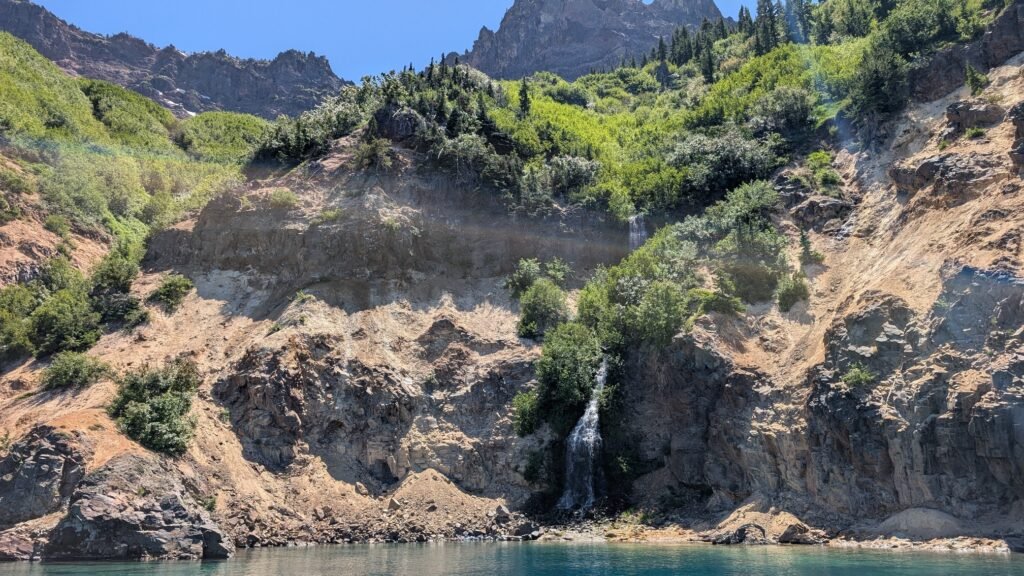
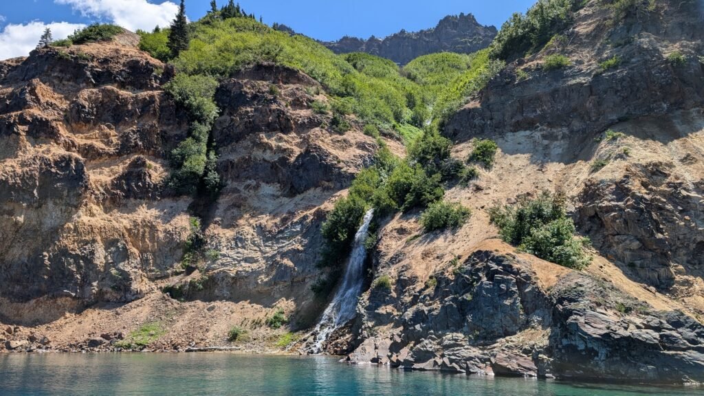
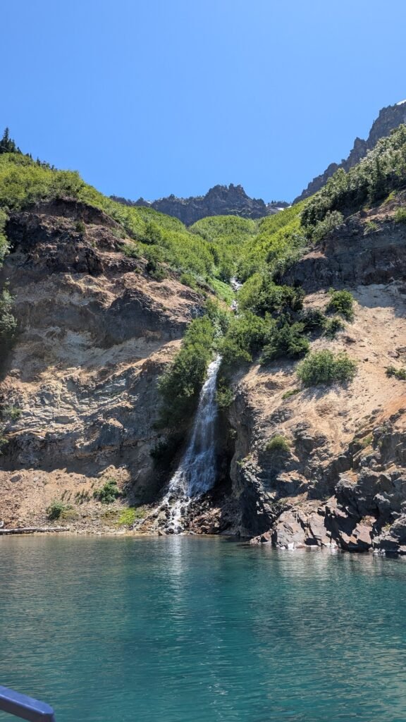
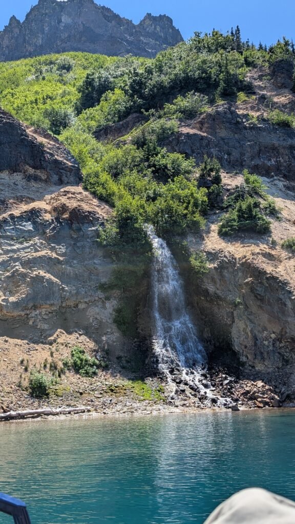
Chaski falls is a small waterfall flowing into Chaski bay from Applegate and Garfield Peaks on the south end of Crater Lake. The trail is not visible from any trails or viewpoints in the park and is not accessible by trail. The only way to see the falls is to take a boat tour of Crater Lake. Starting from the Cleetwood Cove boat launch, take either the Standard boat tour that traverses the lake, or hop on the Wizard island tour and spend a few hours visiting the island before continuing the boat tour around the lake.
Geology
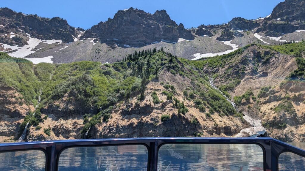
Chaski falls flows north from Applegate and Garfield Peaks. Both peaks are remnants of Mount Mazama, the massive stratovolcano whose collapse created Crater Lake. Layers of lava flows from the early phases of Mazama’s growth are visible in the caldera walls and in landmarks along the south rim, Landscapes Revealed including Applegate and Garfield Peaks. Applegate is the older of the two — its andesite lava flows and breccia date to approximately 210,000–270,000 years ago Crater Lake Institute — while together they form the prominent rocky wall defining the lake’s south rim.
What makes these peaks especially striking to hikers is the coloring of the rock itself. The walls along the southern rim have been affected by sulfur steams from ancient fumaroles, which color the rock on Garfield Peak, the Eagle Crags, and the Applegate trail through shades of red, brown, and yellow Wikipedia — a palette produced by iron oxides reacting with water and volcanic gases as the rock slowly weathers. The reds come from hematite, the browns and yellows from limonite, and in some areas the two mix into a greenish tint. It’s a subtle but vivid reminder that even 7,700 years after Mazama’s catastrophic collapse, the chemistry of that event is still written in the cliffs above the lake.
Directions & Access
- Nearest City: Crater Lake Village (Mazama Village), OR; Klamath Falls, OR (~56 miles south)
- Trail Information:
- Cleetwood Cove trail. A short 2 mile but very steep switchback trail with 613 feet of elevation gain that takes you from the trailhead parking lot to the bottom of the lake where you can swim or jump on a boat for a tour of the lake.
- Parking:
- Park at the Cleetwood Cover Parking lot and head south to the trailhead just across the street;
- Accessibility:
- Parking lot has bathrooms.
- Trail is mostly accessible for most hikers; however go slow and carry water.
Best Time to Visit
- Spring: Park roads typically closed until late May or June; trail may be snow-covered into early July
- Summer: July through September is ideal; wildflowers line the creek; bring mosquito repellent
- Fall: Quiet and scenic through October; cooler temperatures; trail is less crowded
- Winter: Trail and most park roads snow-covered from October through June; limited access
Nearby Attractions
- Crater Lake (deepest lake in the U.S.)
- Wizard Island
- Godfrey Glen Trail
- Plaikni Falls
- Rim Village Historic District
References
- Books:
- Oregon Waterfalls by Greg Plumb
- Waterfall Lover’s Guide: Pacific Northwest
Map
Sorry, no records were found. Please adjust your search criteria and try again.
Sorry, unable to load the Maps API.