
Profile
Overview
- Location: Lane County, Siuslaw National Forest (Sweet Creek, near Mapleton)
- Waterfall Type: Plunge
- Height: ~70 feet (21 m) total — four tiered plunges of 10–30 feet each, plus 11 smaller falls along the trail
- Trail Distance: ~2.2 miles round-trip from Homestead Trailhead; ~0.8 miles round-trip from Sweet Creek Falls Trailhead
- Difficulty: Easy
- Best Time to Visit: Year-round; best flow fall through spring
History & Background
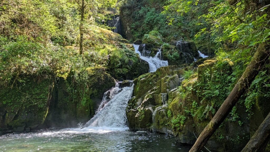
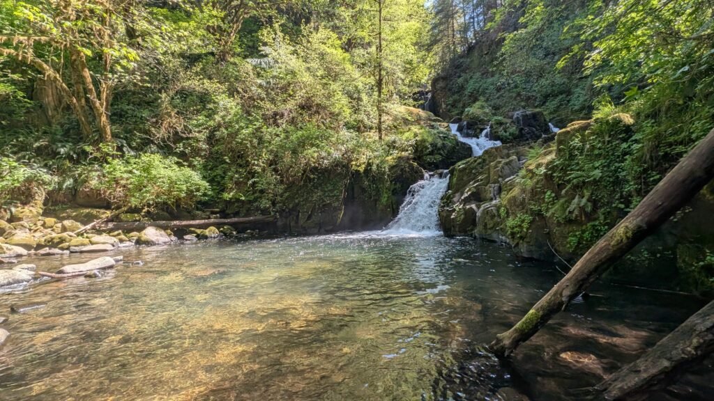
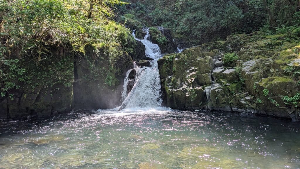
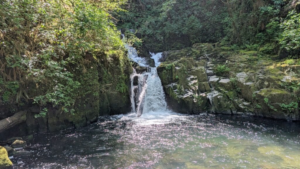
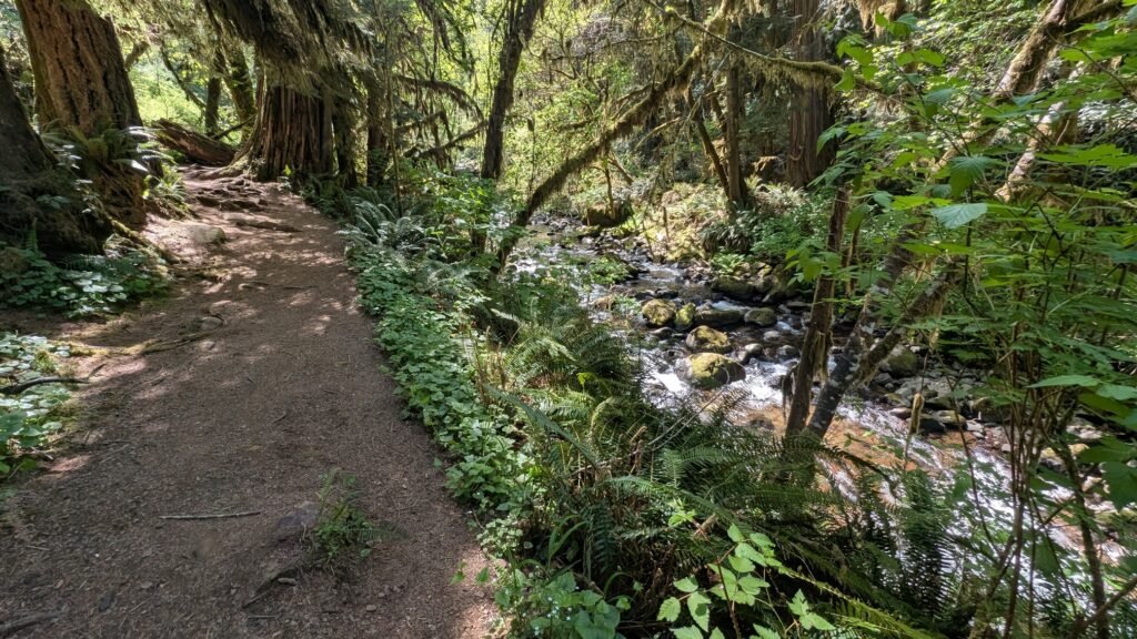
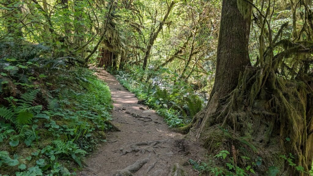
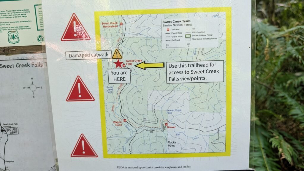
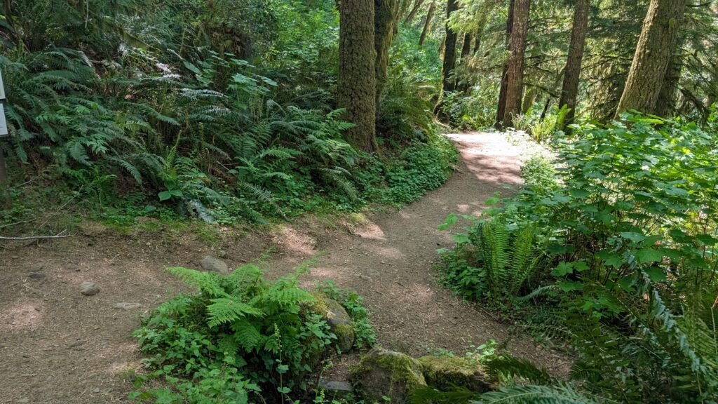
Sweet Creek Falls is the grand finale of one of Oregon’s most rewarding short waterfall hikes — a creekside trail through the Siuslaw National Forest that passes eleven named waterfalls before reaching the main attraction’s four tiered plunges. The Sweet Creek Trail Complex offers four separate trailheads with varying distances, making it accessible to hikers of any ability level. The trail traverses a lush canyon of four-foot-thick Douglas fir, bigleaf maple, and alder draped in moss, following Sweet Creek upstream through a series of punchbowl-shaped pools and wooden bridge crossings. Note as of 2025: a bridge is out at the Homestead Trailhead’s first segment, preventing through-hiking from that end — visitors should start from the Sweet Creek Falls Trailhead (0.4 mile to the falls) until repairs are made. The Sweet Creek corridor is 11 miles south of Mapleton via Sweet Creek Road, reached from Highway 126 at the Siuslaw River Bridge.
Geology
Sweet Creek Falls cascades in four distinct tiers totaling 70 feet over a series of volcanic basalt ledges at approximately 700 feet elevation in the central Oregon Coast Range. The creek has carved an intimate canyon through the ancient oceanic basalt of the Siuslaw National Forest, with each ledge creating a distinct plunge pool. The extraordinary moss and fern communities blanketing every surface reflect the abundant precipitation of the Coast Range — Sweet Creek receives over 80 inches annually. The presence of a wooden scaffolding-style bridge section along the trail allows hikers to traverse an exposed canyon section while the creek flows below.
Directions & Access
- Nearest City: Mapleton, OR (~11 miles north via Sweet Creek Road); Florence, OR (~26 miles west via Hwy 126)
- Trail Information:
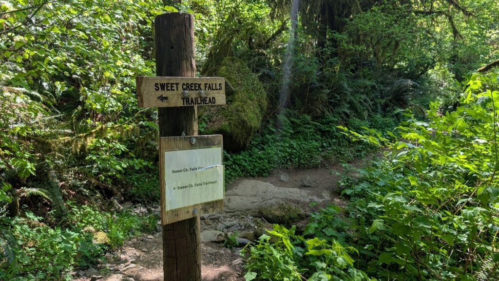
- From Mapleton, cross the Siuslaw River Bridge and immediately turn west on Sweet Creek Road; drive 10.2 miles to Homestead Trailhead (2.2-mile round-trip to falls) or continue 0.7 miles more to Sweet Creek Falls Trailhead (0.8-mile round-trip); as of 2025 a bridge is out at Homestead — start from the second trailhead
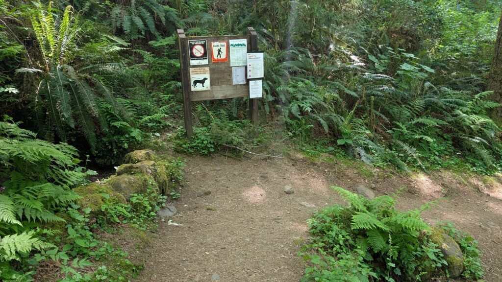
- The trail passes 11 waterfalls in total including Annice Falls along the way; wooden bridges and boardwalk sections navigate canyon sections; pools along the creek are popular for wading in summer; Northwest Forest Pass required
- Parking:
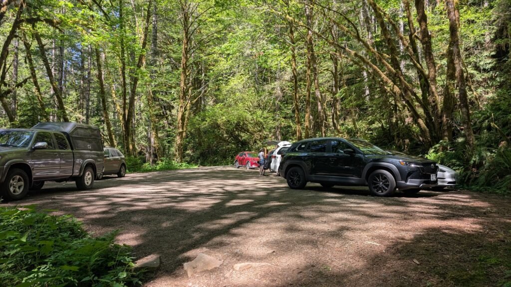
- Homestead Trailhead or Sweet Creek Falls Trailhead parking areas along Sweet Creek Road; Northwest Forest Pass required; no restrooms at the falls trailhead
- Accessibility:
- Short, easy trails to the falls; generally accessible for most visitors; the scaffolding bridge section requires careful footing
Best Time to Visit
- Spring: Best flows; the four tiers and 11 smaller falls most impressive; trail vivid green; creek pools fill beautifully
- Summer: Lower flows; pools perfect for wading; the creek corridor is cool and shaded; very popular
- Fall: Flows returning with October rains; fall foliage from bigleaf maple and red alder; quieter season
- Winter: Highest flows; the tiered falls are most dramatic; trail accessible year-round at this low elevation
Nearby Attractions
- Mapleton, Oregon
- Siuslaw River (salmon, steelhead)
- Florence (~26 miles west)
- Oregon Dunes NRA (~30 miles west)
- Heceta Head Lighthouse (~25 miles west)
References
- Links:
- Books:
- Oregon Waterfalls by Greg Plumb
- Waterfall Lover’s Guide: Pacific Northwest
Map
Sorry, no records were found. Please adjust your search criteria and try again.
Sorry, unable to load the Maps API.