
Profile
Overview
Location: Deschutes County, Deschutes National Forest (Deschutes River, between Bend and Sunriver)
Waterfall Type: Rapids / Cascade
Height: ~15 feet (5 m) — spread across multiple channels around and over Lava Island
Trail Distance: 0.2 miles from the Lava Island Day Use turnaround to the falls viewpoints on the Deschutes River Trail
Difficulty: Easy
Best Time to Visit: Year-round; spring offers highest flows
History & Background
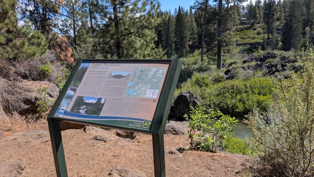
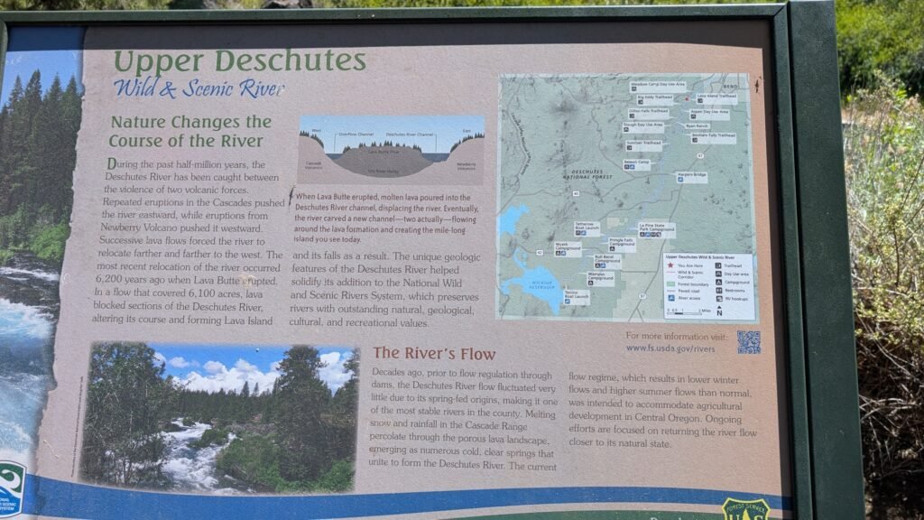
Lava Island Falls is the southernmost of three waterfalls on the Deschutes River south of Bend, all created by the same geological event — the eruption of Lava Butte approximately 7,000 years ago that sent lava flows across the Deschutes valley, rerouting the river and creating Benham Falls, Dillon Falls, and Lava Island Falls in quick succession along the river’s new forced course.
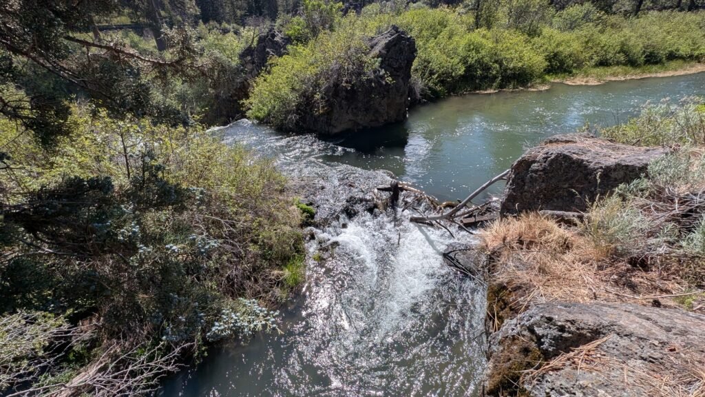
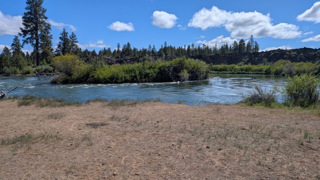
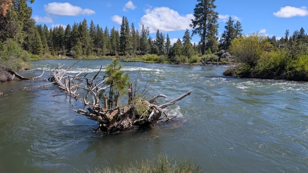
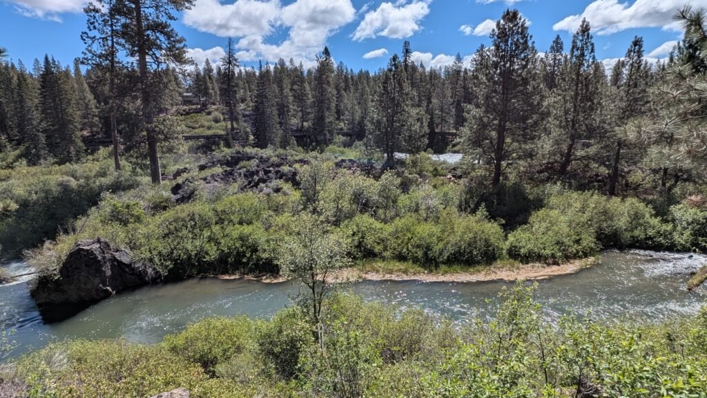
Lava Island Falls occurs where the Deschutes River encounters Lava Island itself — a large remnant mass of solidified basalt that the river has not yet fully eroded away, forcing the water to divide around it into two channels before tumbling over and through the lava formations on both sides. The main falls run along the far (east) bank of the river, making them partially obscured from the hiking trail on the west bank — what you can see from the trail is a portion of the falls rather than the full picture, though the volume and force of the water moving through the visible section is impressive even without the complete view.
The Lava Island Day Use Area sits at a critical point on the Deschutes for another reason: it serves as the mandatory take-out for the Big Eddy Thriller, one of the most popular commercial rafting runs in Oregon. The Big Eddy section runs from the Aspen Day Use Area down to the Lava Island take-out; below Lava Island the river transitions to Lava Island Rapids, which are Class V. Rafters floating the Big Eddy Thriller pass the Lava Butte lava flow on the right side of the river before reaching Big Eddy, navigating Class III rapids under the guidance of professional outfitters who run trips throughout the summer season. The day use area raft pullout is where those commercial trips end — anyone continuing past it would be heading into Class V water above the falls. On busy summer weekends, the raft pullout sees a steady flow of groups emerging from the river after their Big Eddy runs.
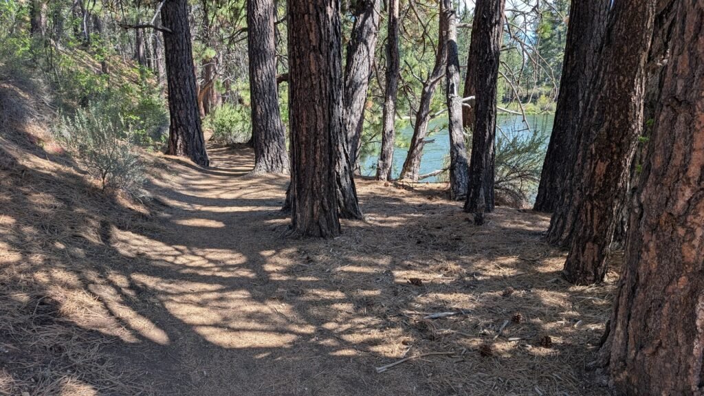
The Deschutes River Trail runs through the day use area, connecting Lava Island Falls north to Dillon Falls and Benham Falls, and south through the forest toward Sunriver. The corridor is designated a National Wild and Scenic River and an Oregon State Scenic Waterway, and fly fishing for wild rainbow trout is excellent throughout this section.
Geology
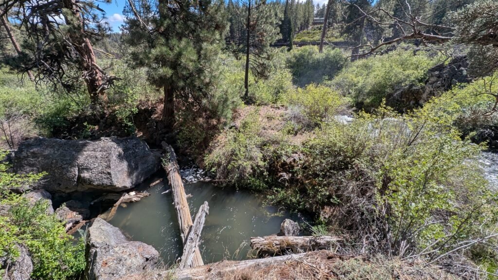
Lava Island itself is a remnant of the Lava Butte basalt flow — hardened volcanic rock that the Deschutes has not fully eroded despite 7,000 years of effort, forcing the river to split around it. The falls cascade over and around this basalt formation at approximately 4,110 feet elevation, with the river’s two divided channels rejoining downstream. The porous volcanic geology of the Deschutes basin creates the unusually consistent, spring-fed flow that powers these falls year-round — the Deschutes carries almost identical volume in August as in March, a characteristic that distinguishes it from most Oregon rivers and makes the falls reliable in all seasons. The lava rock visible along both banks here is part of the same 9.5-square-mile flow that created all three falls on this stretch, extending east toward Lava Butte where the eruption originated.
Directions & Access
Nearest City: Bend, OR (~11 miles north); Sunriver, OR (~5 miles south)
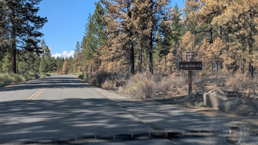
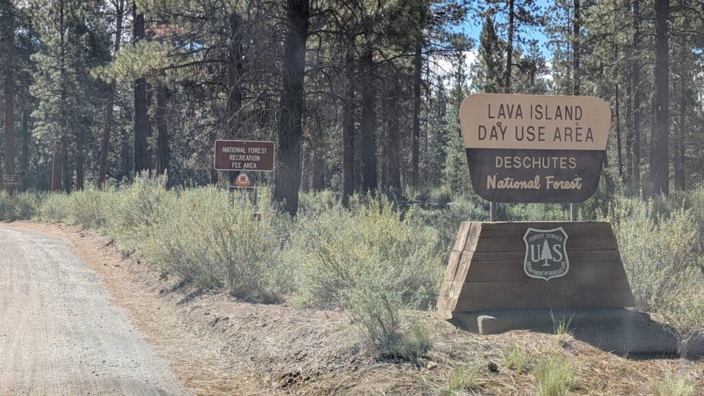
Getting There: From Bend, follow SW Century Drive south (becomes Conklin Road / Forest Road 41) to the signed Lava Island Falls Day Use Area turnoff. From Sunriver, follow Conklin Road / Forest Road 41 north to the same turnoff. A section of the access road is dirt but well-maintained.
Lava Island Falls Trailhead — Google Maps
Parking layout — read before you arrive:
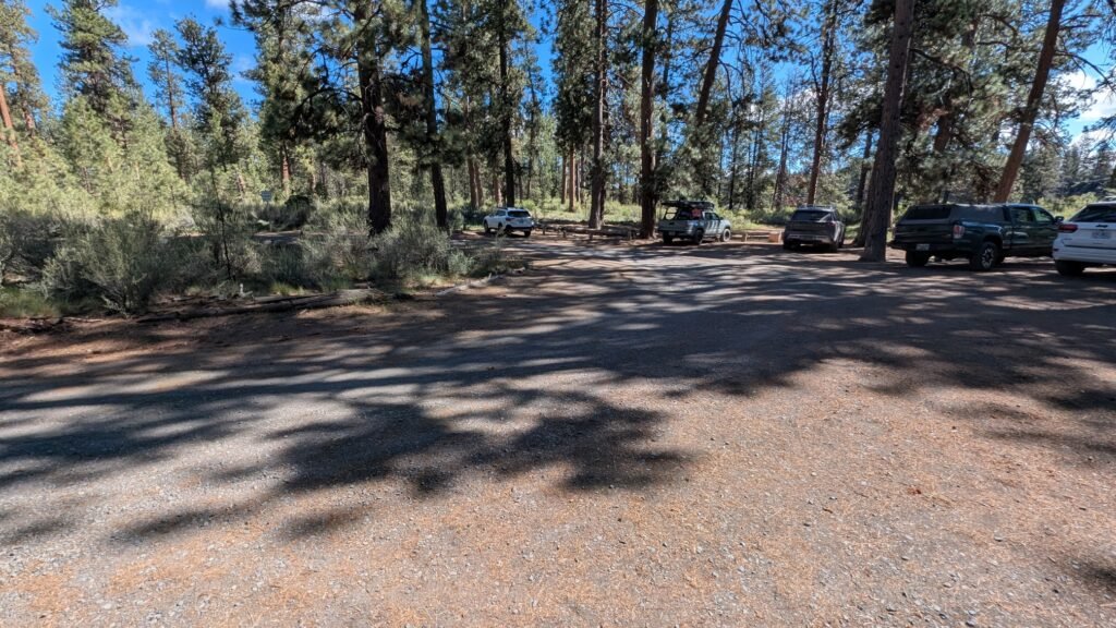
At the end of the dirt road, the road forks:
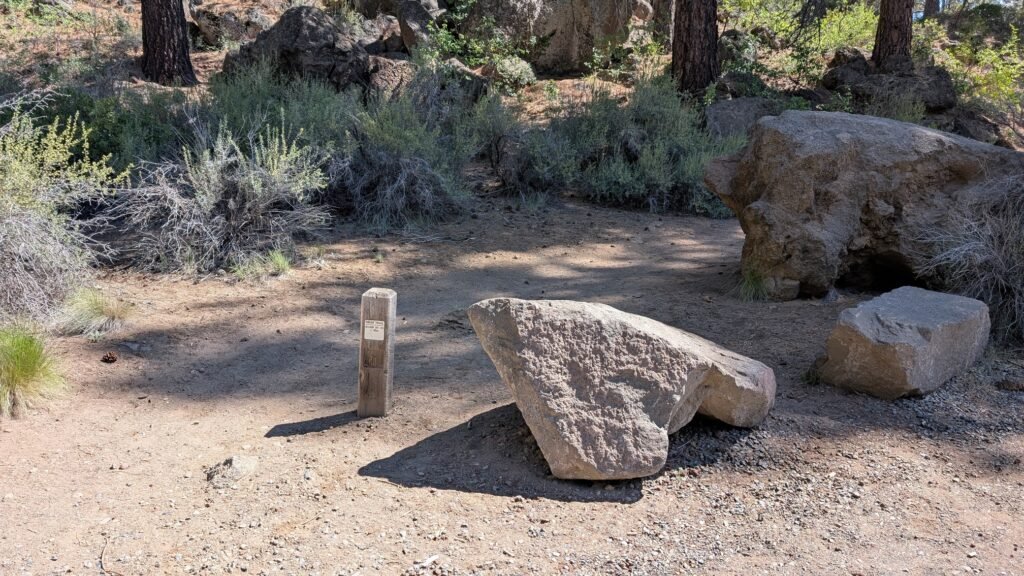
- Left fork → Lava Island Day Use Area: small dirt turnaround with vault toilet and river access (raft pullout). No parking allowed here — it is a turnaround only.
- Right fork → Trailhead parking: park here at the end of the road.
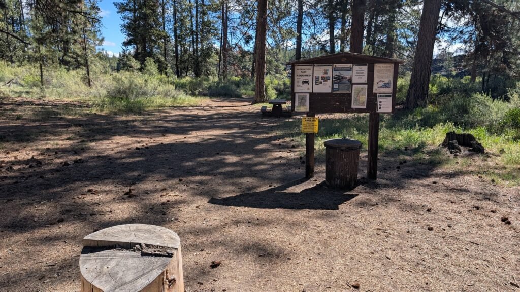
The trail to the falls begins at the day use area turnaround (left side), marked by a small post, and follows the Deschutes River Trail north approximately 0.2 miles to the falls viewpoints.
At the falls:
The top of the main falls section is visible from the raft pullout, but you are looking upriver from that vantage point and the angle is not ideal — it’s more of a glimpse than a proper view. The best viewing is from the trail 0.2 miles further. However, the main falls are on the far (east) side of the river, and only a portion of the falls is easily visible from the west bank trail. The volume of water moving through what you can see is impressive, and walking along the riverbank gives additional partial views from different angles.
There is no easy crossing to the east bank for a full frontal view of the main falls. The river at this point is powerful and the basalt rock is sharp and often slippery.
Northwest Forest Pass or $5 day-use fee required. Dogs permitted on leash; leash required May 15 through September 15.
Best Time to Visit
Spring: Highest flows from Cascade snowmelt; the falls thunder with the Deschutes at full volume; the Big Eddy rafting season begins; watch for mosquitoes from May onward.
Summer: Consistent spring-fed flows; Big Eddy commercial rafting at peak — the day use area sees significant traffic from departing raft groups on summer weekends; arrive early for parking; extremely popular Deschutes River Trail corridor.
Fall: Crowds diminish after Labor Day; the ponderosa pines turn golden; flows remain strong year-round; fly fishing season excellent.
Winter: Open year-round; consistent flows; snow occasionally dusts the surrounding pines; the river is most dramatic in winter conditions.
Rafting the Big Eddy Thriller
If the Lava Island take-out makes you want to experience the river from the water, the Big Eddy Thriller is one of the most popular guided rafting trips in Oregon. This roughly 3-mile float on the upper Deschutes between Bend and Sunriver passes ancient lava flows and towering ponderosa pines before reaching the Class III Big Eddy rapids, ending at the Lava Island take-out where you’re standing now. Multiple outfitters run trips from May through September; the trip takes approximately 1.5 hours on the water and is suitable for families and beginners with a guide. Oregon Hikers
Outfitters operating the Big Eddy Thriller include Sun Country Tours and Seventh Mountain Rafting, among others.
Combine with the Volcanic Waterfall Corridor
All three Deschutes waterfall destinations are connected by road via Conklin Road and by trail via the Deschutes River Trail:
- Benham Falls — the most powerful of the three; West Trailhead has an accessible paved path; ~1.5 miles north of Lava Island via DRT
- Dillon Falls — a wide, dynamic multi-channel cascade; slightly south of the midpoint between Benham and Lava Island; short detour off the DRT
- Lava Lands Visitor Center — 4 miles east on Highway 97; the geological story behind all three falls told in full; Trail of the Molten Land, Lava Butte summit, Lava River Cave
Nearby Attractions
- Deschutes River Trail (16-mile forest corridor from Bend to Sunriver)
- Lava Lands Visitor Center (Lava Butte, Lava River Cave, Trail of the Molten Land)
- Sunriver Resort (~5 miles south — bike paths, SHARC water park, Deschutes float access)
- Big Eddy Thriller guided rafting (Sun Country Tours, Seventh Mountain Rafting)
- La Pine State Park (~15 miles south
- Fall River Falls (~15 miles south via La Pine)
References
Links:
- USFS — Lava Island Falls Day Use Area
- Visit Central Oregon — Whitewater Rafting on the Deschutes
- Travel Oregon — Big Eddy Thriller
- Sun Country Tours — Big Eddy Thriller
- American Whitewater — Deschutes: Aspen to Lava Island Falls (Big Eddy)
- Lava Island Falls Trailhead — Google Maps
Books:
- Waterfall Lover’s Guide: Pacific Northwest by Greg Plumb
- 100 Hikes in the Central Oregon Cascades by William L. Sullivan
- Day Hiking: Central Oregon by Craig Romano

Map
Sorry, no records were found. Please adjust your search criteria and try again.
Sorry, unable to load the Maps API.