
Profile
Overview
Location: Deschutes County, La Pine State Park (near La Pine)
Waterfall Type: Cascade
Height: ~14 feet (4 m)
Trail Distance: Two options — 0.4 miles round-trip (short walk from the north bridge trailhead) or 4.5–5.5 mile loop (Fall River Loop from McGregor Memorial Viewpoint or La Pine State Park Campground)
Difficulty: Easy (short walk option) / Easy-Moderate (full loop — little elevation gain, sandy trail, brief rocky sections near the falls)
Best Time to Visit: Year-round; spring-fed river maintains consistent flow in all seasons
History & Background
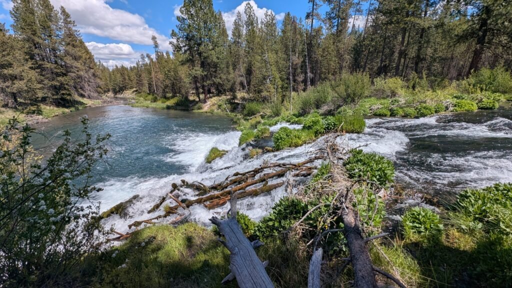
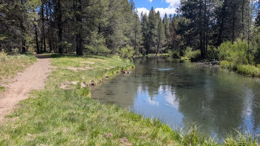
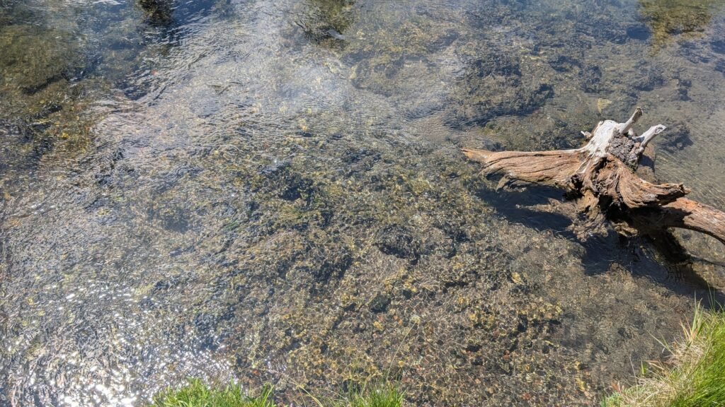
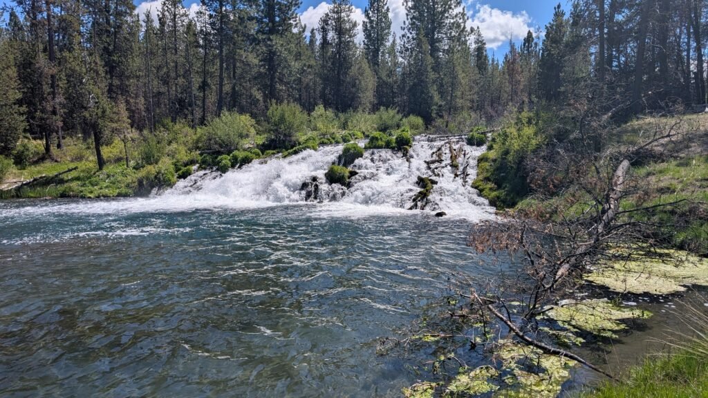
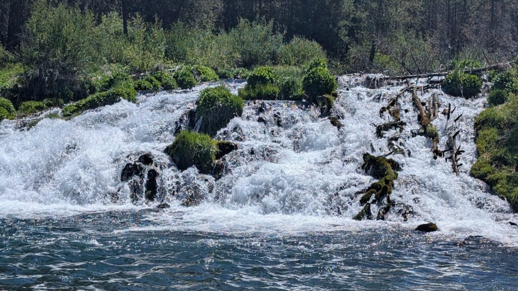
Fall River Falls is a modest 14-foot cascade on the Fall River within La Pine State Park — a small but genuinely beautiful waterfall whose real appeal is the extraordinary clarity of the water rather than its height. The Fall River is entirely spring-fed, emerging as a full stream from its source at Fall River Spring a few miles upstream, with no surface runoff or seasonal snowmelt contributing to its flow. The result is water so clear you can see every pebble on the riverbed from the bank, deepening to a distinctive turquoise at the base of the falls that stops most visitors in their tracks. The frothing of the falls chills the surrounding air noticeably on warm days — a natural air conditioner in the high desert.
To be honest with expectations: Fall River Falls is a lovely but small waterfall, and on its own it is not a destination worth making a long drive for. What makes the visit worthwhile is the setting — a peaceful ponderosa pine forest along a spring-fed river, part of a well-maintained trail network that also follows the Deschutes River and connects throughout La Pine State Park. If you are camping at La Pine State Park, staying in Sunriver, or making a day trip connecting the Central Oregon trail network, Fall River Falls is a highlight well worth building your route around.
The Fall River is a designated fly-fishing-only, catch-and-release stream for trophy trout — one of Central Oregon’s premier fishing rivers. The spring-fed temperature and extraordinary clarity make it ideal habitat, and patient visitors who approach quietly will often spot large trout holding in the current below the falls.
Geology
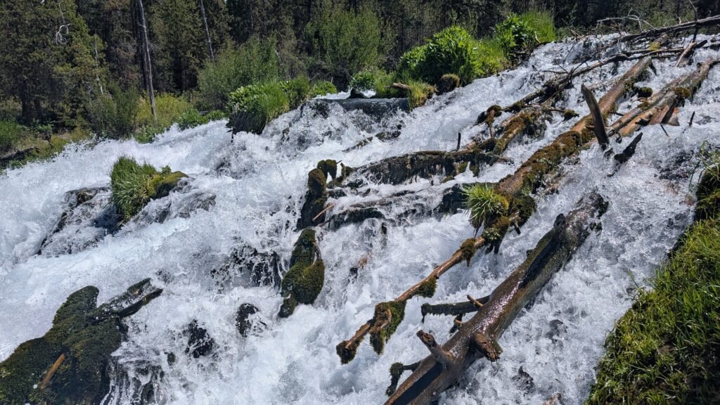
Fall River Falls cascades over a basalt ledge at approximately 4,183 feet elevation on the spring-fed Fall River. The porous volcanic geology of the Deschutes Basin — formed by millions of years of High Cascades volcanism — absorbs precipitation and snowmelt into an extensive underground reservoir, releasing it as the powerful springs that give the Fall River its constant, clear flow. Unlike most Oregon rivers that fluctuate dramatically with seasons, the Fall River maintains nearly identical volume year-round, a direct reflection of the volcanic rock aquifer that stores and slowly releases this water. The surrounding ponderosa pine forest on thin, sandy volcanic soils is characteristic of the upper Deschutes landscape.
Directions & Access
Nearest City: La Pine, OR (~2 miles); Sunriver (~15 miles north)
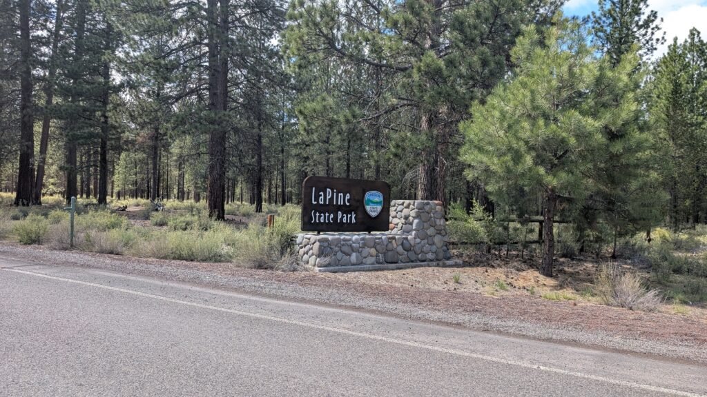
La Pine State Park is located on State Recreation Road, five miles west of Highway 97. The Highway 97 turnoff is approximately 23 miles south of Bend.
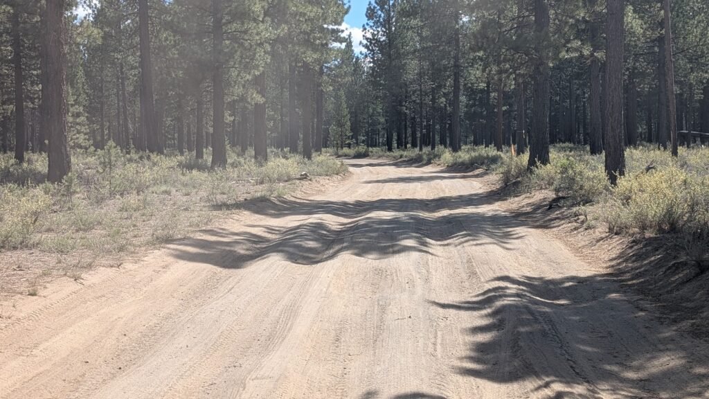
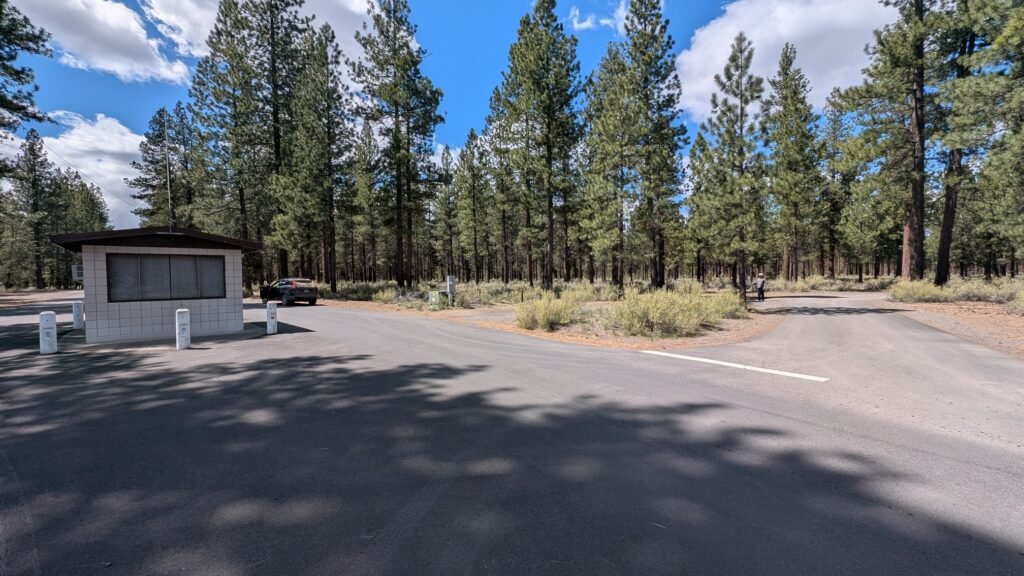
From the La Pine State Park park kiosk entrance (Google Maps): Turn right and travel approximately 1 mile on an unmaintained dirt road. At the intersection, veer right onto W. Deschutes River Road. Continue 0.5 miles to the Fall River bridge, where two separate parking areas serve the trailhead.
From the north via highway: Access W. Deschutes River Road off paved Highway 42 (S. Century Drive) heading toward Three Rivers.
Two parking areas at the Fall River bridge:
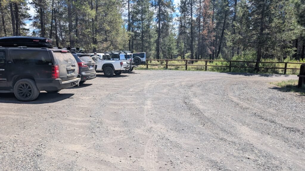
North side of bridge — Fall River Trailhead (Google Maps): Small dirt parking lot, no amenities. This is the easiest and most direct access to the falls. From here, a wide, well-maintained dirt path follows the north bank of the Fall River 0.2 miles to the falls — a short, flat, and pleasant walk that most visitors complete in under 10 minutes.
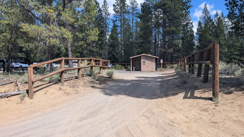
South side of bridge — Falls Parking Area (Google Maps): Small paved lot with a vault toilet. This lot serves the picnic area adjacent to the falls and is the alternate trailhead for the Fall River Loop.
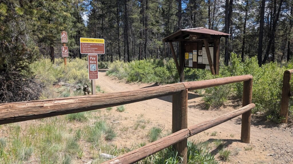
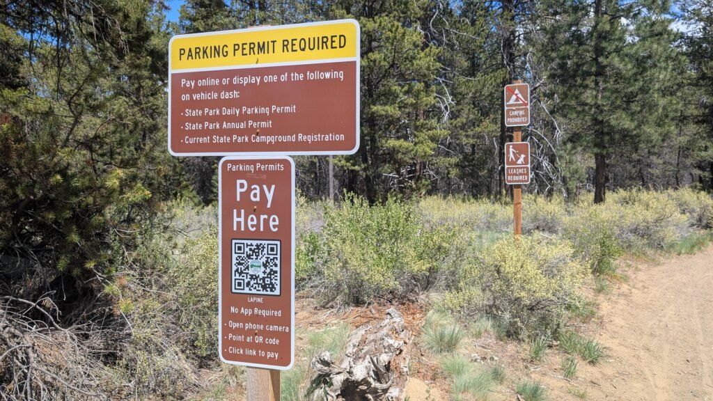
Parking at both lots is free. Vault toilets on the south side; no facilities on the north side.
Trail options:
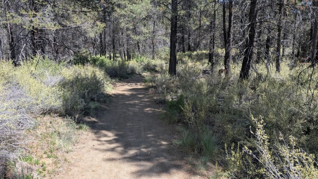
Short walk (recommended for a quick stop): Park at the north bridge lot; follow the wide dirt path 0.2 miles along the river to the falls. Return the same way. Total: 0.4 miles, flat, suitable for all ages and abilities.
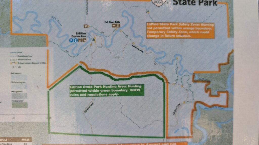
Fall River Loop (4.5–5.5 miles, Easy-Moderate): The falls sit at the midpoint of the Fall River Loop Trail, which also winds along the Deschutes River. Start from the McGregor Memorial Viewpoint parking lot (4.5 miles) or from the La Pine State Park Campground north loop (5.5 miles). The loop includes sections along the Deschutes River with beautiful bluff views, connecting trail junctions within the park, and the Deschutes Riverfront Trail. Download the AllTrails map or the trail map at the trailhead before starting — junctions are not always clearly marked. Allow 2–3 hours.
Trail notes: Open to hikers, cyclists, and horses. Dogs welcome on leash. Some sun exposure; bring water, a hat, sunscreen, and bug spray in summer. A rocky section appears in the final approach to the falls — otherwise the trail is smooth sandy dirt. A cougar was spotted in the area in August 2025; stay together and make noise when hiking with children.
Best Time to Visit
Spring: The spring-fed river runs consistently; the park is quiet and pleasant; wildflowers in bloom along the ponderosa pine corridors.
Summer: The falls are a pleasant cool-air escape in the high desert heat; the turquoise pool below the falls is at its most photogenic; popular with families camping at La Pine. Bring bug spray for the wooded sections.
Fall: Beautiful ponderosa pine light in autumn; fishing season excellent; cooler temperatures make the longer loop hike more comfortable; consistently low crowds.
Winter: The spring-fed river maintains full flow even in winter; the ponderosa forest is striking in snow; the park’s main road and facilities may have limited services.
Nearby Attractions
La Pine State Park — the surrounding park is the reason to be here. The park preserves some of the oldest ponderosa pine trees in Oregon, with towering old-growth trees hundreds of years old. The full trail network connects the Fall River and the Deschutes River in a series of loops ranging from short walks to multi-hour hikes. Well-developed campground on site.
Newberry National Volcanic Monument (~20 miles east on Paulina Lake Road) — McKay Falls and Paulina Creek Falls are an easy drive from La Pine State Park. The monument also offers the Big Obsidian Flow, Paulina Peak, kayaking on Paulina Lake to the hot springs, and the Peter Skene Ogden Trail to the natural waterslide at McKay Crossing Campground.
Sunriver Resort (~15 miles north) — 40+ miles of paved bike paths, the Deschutes River float, the SHARC water park, restaurants, and the Sunriver Nature Center and Observatory.
Lava Lands Visitor Center (~20 miles north on Hwy 97) — Lava Butte cinder cone hike with panoramic views, Lava River Cave, and the Sun-Lava Trail connecting to Benham Falls.
High Desert Museum (~20 miles north of La Pine near Bend) — One of the finest natural and cultural history museums in the Pacific Northwest, with live wildlife, Indigenous history, and natural history exhibits. Plan 2–3 hours.
References
Links:
- Oregon State Parks — La Pine State Park
- USFS Deschutes — Fall River Trailhead
- AllTrails — Fall River Loop
- My Backyard & Beyond — Fall River Falls: Hiking LaPine State Park in Central Oregon
- North Bridge Parking — Google Maps
- South Bridge Parking — Google Maps
Books:
- Waterfall Lover’s Guide: Pacific Northwest by Greg Plumb
Map
Sorry, no records were found. Please adjust your search criteria and try again.
Sorry, unable to load the Maps API.