
Profile
Overview
Location: Deschutes County, Central Oregon (Deschutes River, Cline Falls State Scenic Viewpoint, near Redmond)
Waterfall Type: Cascade / Rapids
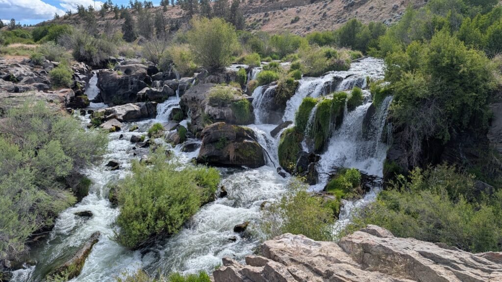
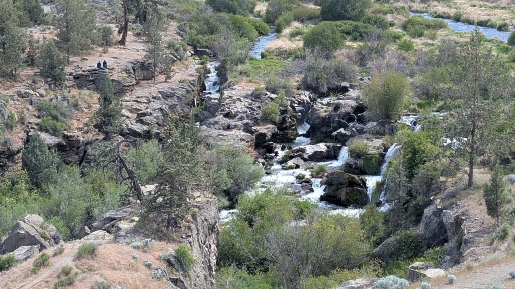
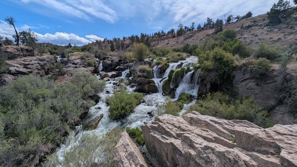
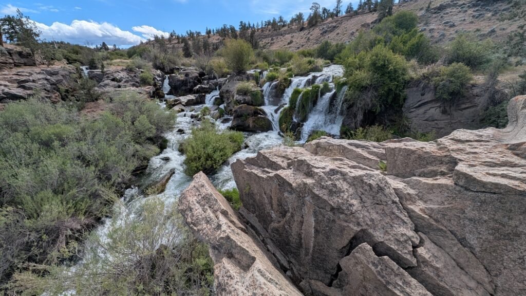
Height: ~20 feet (6 m) total — a wide, multi-channel series of cascades across the full width of the Deschutes rather than a single concentrated drop
Trail Distance: 1.1 miles round-trip from Cline Falls State Park via the recommended east-side trail; shorter informal access options available (see below)
Difficulty: Easy
Best Time to Visit: Winter and spring for the best flows; by mid-summer the waterfall slows to a trickle, revealing more of the basalt rock below
History & Background
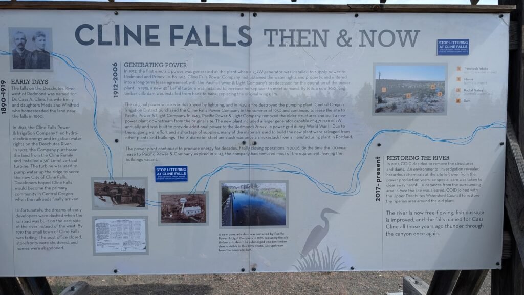
Cline Falls is located on the Deschutes River approximately four miles west of Redmond. The falls were named for Dr. Cass A. Cline (1850–1926), a Redmond dentist who owned the land adjacent to the falls. The state scenic viewpoint that bears his name was originally acquired by the Highway Commission in 1936 as a gravel pit, then transferred to the Oregon Parks Division in 1956 when the highway was relocated — making it one of the older state park acquisitions in Central Oregon.
One of the most important things to understand about Cline Falls: the falls and the state park are not the same place. The day-use park is located just south of the bridge along Highway 126, while Cline Falls is downstream north of the bridge. Technically, Cline Falls is not part of the park, but in reality you can easily reach the scenic area of Cline Falls by hiking downstream. This trips up many visitors who arrive at the park and wonder where the waterfall is.
The falls also look different from what they did for most of the 20th century: the Cline Falls dam was removed in 2017, restoring the area to a more natural state. What visitors see today — a wide, complex series of cascades threading through vegetation-covered basalt formations — reflects the river’s natural character rather than the regulated flow of the impoundment. The dam removal also improved fish passage on this stretch of the Deschutes.
Cline Falls State Park has its own piece of darker local history. In 1977, two young out-of-state campers were attacked at the site in a violent assault that remains unsolved to this day — one of the more notorious cold cases in Central Oregon’s history. The park has long since returned to its identity as a peaceful local recreation area, but it’s part of the full history of this site.
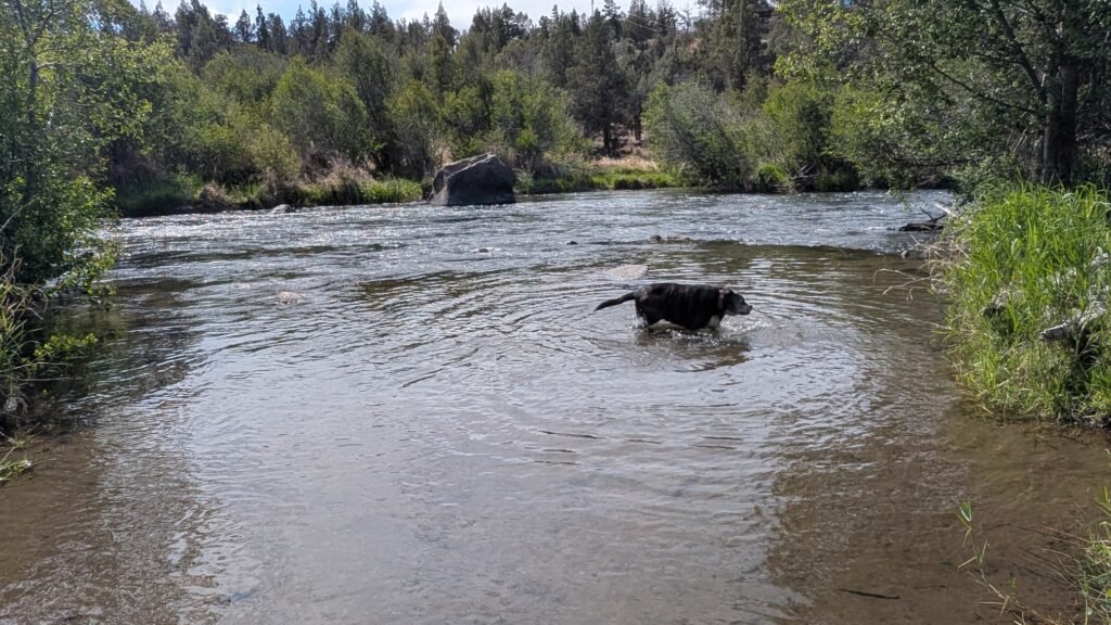
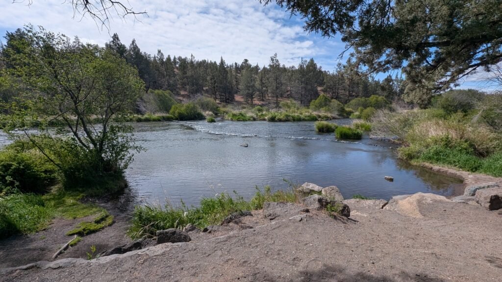
The park is the closest riverfront park to Redmond and is very popular among locals for fishing, swimming, kayaking, rafting, and picnicking. One of the longest Deschutes River floats in the area is 14.5 miles, starting at Tumalo State Park and ending at Cline Falls State Park — making the park a well-used river take-out for multi-hour floats from Bend.
Geology
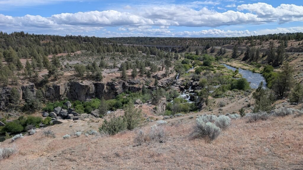
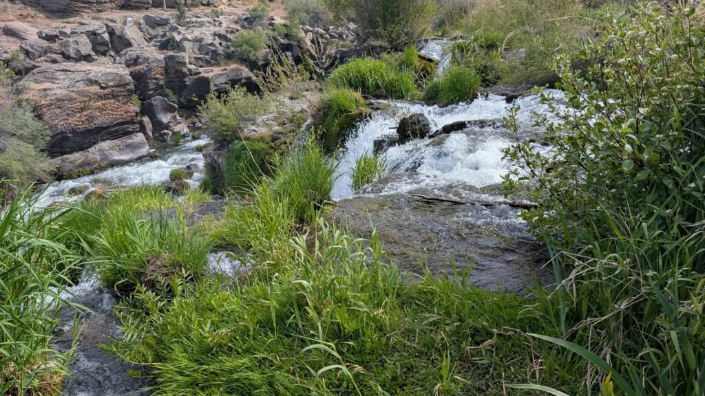
Cline Falls is fed by snowmelt and rainfall and is especially vibrant in winter and spring. The Deschutes cascades over layered volcanic basalt at approximately 2,831 feet elevation in the high desert landscape east of the Cascades. The spring-fed character of the upper Deschutes — with its porous volcanic geology filtering groundwater — gives the river an unusually clear quality. The post-dam-removal channel now spreads across the natural width of the river, creating the multi-threaded cascade character through basalt outcroppings and vegetation islands that defines the falls today. The surrounding landscape of ponderosa pine, western juniper, and sage reflects the rain shadow high desert of the upper Deschutes basin.
⚠️ Rattlesnakes are present in the rocky areas around the falls, particularly in warm months. Watch where you step and place your hands on rocks.
Directions & Access
The Four Access Options
This is one of the more confusing waterfalls to access in Central Oregon, with multiple routes of varying clarity and legality. Here’s an honest breakdown:
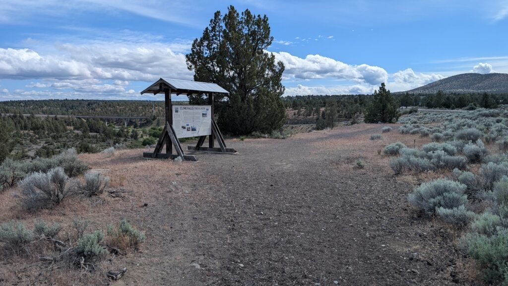
Option 1 — Roadside overlook from the west (Google Maps): A gravel pullout off SW Eagle Drive on the west bank includes an informational sign and gives a distant aerial-style view of the falls and canyon from above. The view is far away — good for context and photography of the canyon, but not a close-up experience of the falls. Quick stop, no hiking required.
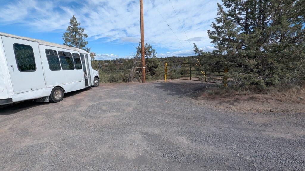
Option 2 — West bank gate access (Google Maps): A small gravel parking area on the west side of the river has a gate with no posted no-trespassing signs, and a short ~0.1-mile walk down an unmaintained gravel road leads to a good close-up north-side view of the falls. The land ownership and public access status of this route is not clearly established — no signage prohibits entry, but no public access designation has been confirmed either. Use this route at your own discretion and judgment.
Option 3 — McKenzie Highway east-side access: Informal parking along Highway 126 / McKenzie Highway gives access to the east bank near the falls. Access legality is similarly uncertain — no no-trespassing signs, but ownership unclear. Research this before using.
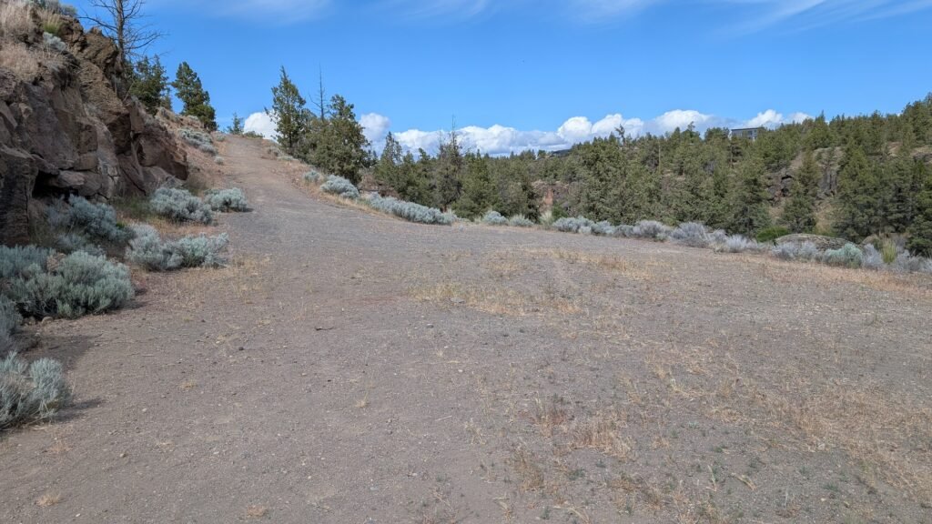
Option 4 — Cline Falls State Park trail (recommended): Park at Cline Falls State Scenic Viewpoint and walk back up toward the highway. The trailhead is on the left halfway up the access road (go under the highway bridge). You’ll walk parallel to the Deschutes River on your left, pass under the McKenzie Highway overpass, cross over a dirt road, and stay left to reach a view of the falls. This is the clearly established, publicly accessible, no-ambiguity route. AllTrails measures it at 1.1 miles round-trip (~0.55 miles each way); allow 20–40 minutes total. The wide gravel path is generally accessible for all-terrain wheelchairs and low-vision visitors. The view is from the east side — the main falls are on the west bank, so this gives a good angle on the cascade without being directly at water level.
Best recommendation: If you want certainty, use Option 4 (State Park trail). If you want the closest view and are comfortable with informal access on unmarked land, Option 2 (west bank gate) is a 5-minute walk to a better perspective. Check for any posted signage changes before using Options 2 or 3.
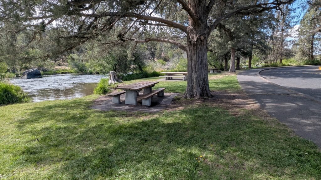
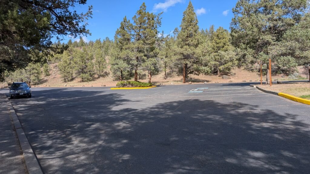
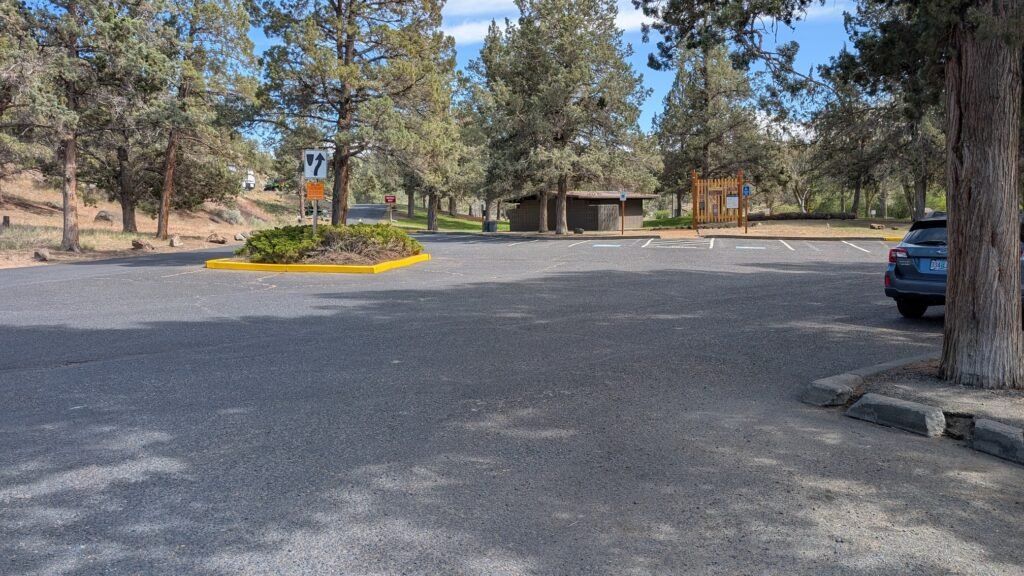
Parking at the state park is free. No day-use fee. Flush restrooms, picnic tables, BBQ grills, and a large grass lawn at the state park itself.
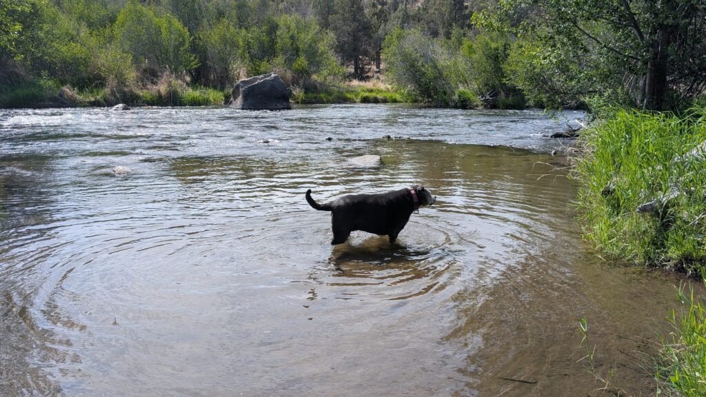
Dogs are welcome on leash.
Note: From the state park trailhead, the trail is not marked at the parking lot itself — the trail marker appears halfway up the access road heading back toward the highway. Watch for it on your left before reaching the highway.
Honest Assessment
Cline Falls is a pleasant, visually interesting cascade rather than a dramatic showpiece waterfall. It’s best appreciated for its unique multi-channel post-dam character — the way the Deschutes now threads through basalt outcroppings and vegetation islands in its restored natural state is genuinely interesting to watch, particularly in spring when flows are high. It rewards visitors who get close and spend time observing rather than those expecting a single dramatic plunge. On its own merits it’s a worthwhile quick stop near Redmond; as part of a day that also includes Smith Rock State Park or the Redmond/Bend corridor, it’s an easy and pleasant addition.
Best Time to Visit
Winter and spring (December–May): Cline Falls is especially vibrant in winter and spring — the multi-channel cascade is most impressive and the vegetation-covered basalt formations run strong. Best season for photography. Travel Oregon
Summer: By mid-summer the waterfall slows to a trickle, revealing more of the rock basalt below. The state park grounds are popular for picnicking and swimming; the falls themselves are minimal. If visiting primarily for the waterfall, skip July–September. Travel Oregon
Fall: Flows returning with fall rain; the park is pleasant and quiet; the high desert landscape is beautiful in September–October.
Year-round: The state park itself is worth visiting any time for river access, picnicking, and the Deschutes River corridor.
Nearby Attractions
- Smith Rock State Park (~8 miles northeast — world-class rock climbing, dramatic Crooked River canyon)
- Steelhead Falls — Crooked River canyon near Terrebonne; worth combining with a Cline Falls visit
- Redmond, Oregon (~4 miles east)
- Deschutes River float — the 14.5-mile float from Tumalo State Park ends at Cline Falls
- Bend (~15 miles south)
- Newberry National Volcanic Monument (~25 miles south)
References
Links:
- Oregon State Parks — Cline Falls State Scenic Viewpoint
- Wikipedia — Cline Falls State Scenic Viewpoint
- AllTrails — Cline Falls Trail
- Visit Central Oregon — Cline Falls State Park
- Oregon Discovery — Cline Falls
- Roadside overlook pullout — Google Maps
- West bank gate access — Google Maps
Books:
- Waterfall Lover’s Guide: Pacific Northwest by Greg Plumb
Map
Sorry, no records were found. Please adjust your search criteria and try again.
Sorry, unable to load the Maps API.