
Profile
Tumalo Falls Overview
Location: Deschutes County, Deschutes National Forest (Tumalo Creek, ~12 miles west of Bend)
Waterfall Type: Plunge
Height: 97 feet (30 m) — one of the tallest waterfalls in Central Oregon
Trail Distance: A few steps from the trailhead parking to the main viewpoint; 0.5 miles to the overlook at the top of the falls; 2.1 miles to Double Falls; 7.5-mile loop to the full network of waterfalls on the North Fork and Bridge Creek trails
Difficulty: Easy (main viewpoint); Moderate (Tumalo Falls Loop, 7.5 miles, 1,246 ft elevation gain)
Best Time to Visit: Late spring through fall; best flow in spring; road closed seasonally in winter
History & Background
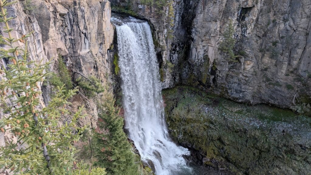
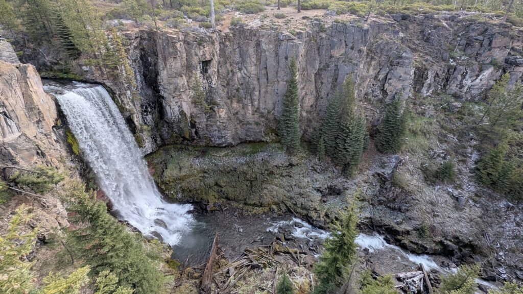
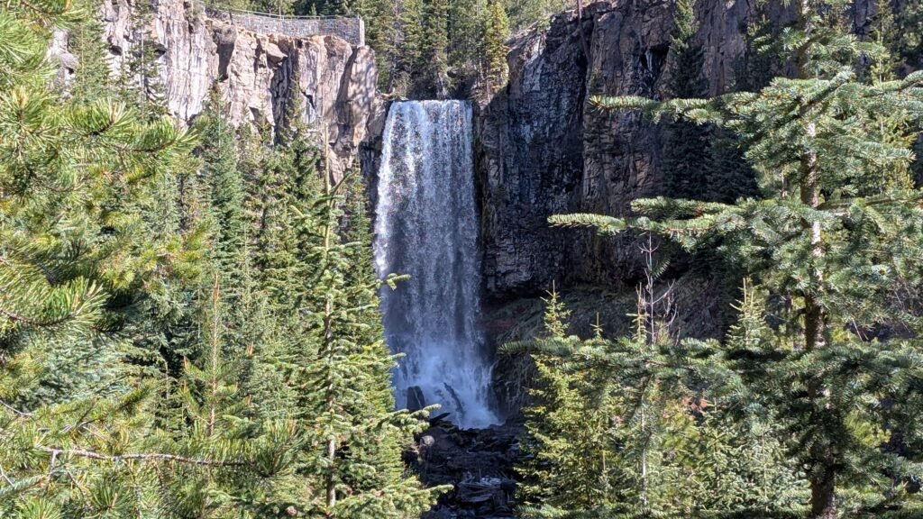
Tumalo Falls is one of Central Oregon’s most beloved and most visited natural landmarks — a single dramatic 97-foot plunge where Tumalo Creek launches off a basalt ledge into a deep canyon of ponderosa pine. At 97 feet it ranks among the tallest waterfalls in the region, and the combination of easy access and spectacular scenery makes it one of the most photographed waterfalls in Oregon.
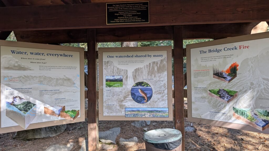
The name Tumalo has Indigenous roots, associated with the Molala people and later adapted by Warm Springs and other regional tribes who inhabited the Deschutes basin. The Tumalo Creek watershed feeds not only the falls but the City of Bend’s municipal water supply — a fact that directly shapes the trail rules on the upper loop (see the watershed note below). Early 20th century irrigation infrastructure in the area drew heavily on Tumalo Creek’s consistent flow from the slopes of Tumalo Mountain and the Three Sisters highlands.
Tumalo Falls is the anchor of a large trail network that extends well upstream into the Deschutes National Forest, passing a succession of additional waterfalls on the North Fork of Tumalo Creek. The full 7.5-mile Tumalo Falls Loop is one of the finest waterfall hike loops in Central Oregon — passing Double Falls, Upper Tumalo Falls, North Fork Falls, Bridge Creek Falls, and numerous smaller drops. But even visitors with 20 minutes and street shoes can see the main falls from the edge of the parking lot.
Geology
Tumalo Falls plunges 97 feet over a volcanic basalt ledge carved by Tumalo Creek at approximately 5,300 feet elevation on the western slope of the High Cascades. The creek drains from the Three Sisters highlands and Tumalo Mountain, carrying snowmelt and spring water that maintains strong flows through June. The vertical basalt cliff over which the falls drop is part of the same High Cascades volcanic geology that defines the Central Oregon landscape — erupted material from the younger Cascade volcanoes, now exposed and carved by the creek’s persistent erosion. The surrounding ponderosa pine and mixed conifer forest thins at higher elevation as the trail approaches the subalpine zone.
Directions & Access
From Bend: Head west on Galveston Avenue (from downtown, cross the Deschutes River on Galveston, continue west as the road becomes Skyliners Road). Drive 10.5 miles on Skyliners Road to the signed junction for Tumalo Falls. Turn left onto Forest Road 4601 — keep left after the bridge over Tumalo Creek at this junction. The road becomes wide, well-maintained gravel for approximately 2.5 miles to the trailhead. Download your maps offline before leaving — cell service is spotty on this road.
⚠️ Parking — plan ahead:
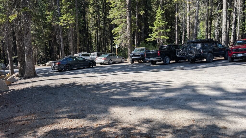
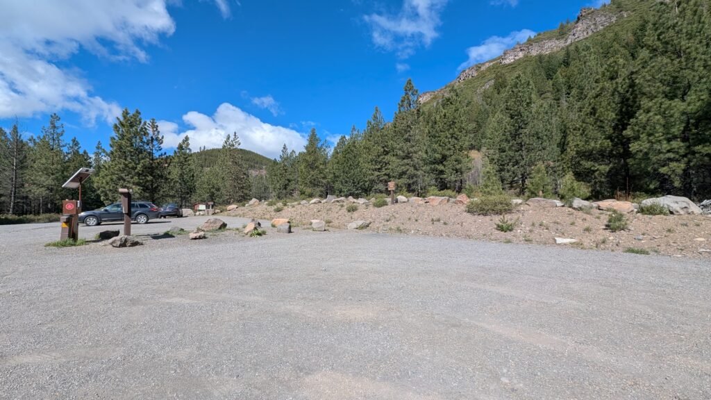
Tumalo Falls is one of the most popular hiking trailheads near Bend, and the trailhead parking lot is very small. On weekends and summer mornings, it fills by 8–9 AM. Before committing to the parking lot, assess the situation:
- If you see cars parked along the road before the trailhead and the overflow lot appears full, find alternatives rather than getting stuck in the crowded turnaround
- Approximately 20–30 cars can park along the road in the final stretch before the trailhead — these spots fill next after the main lot
- If all roadside and trailhead spaces are taken, the overflow parking lot is at this location; note that using the overflow lot adds approximately 1.2 miles each way to your hike to the falls viewpoint
Best strategy: arrive before 8 AM on summer weekends, or visit on weekday mornings.
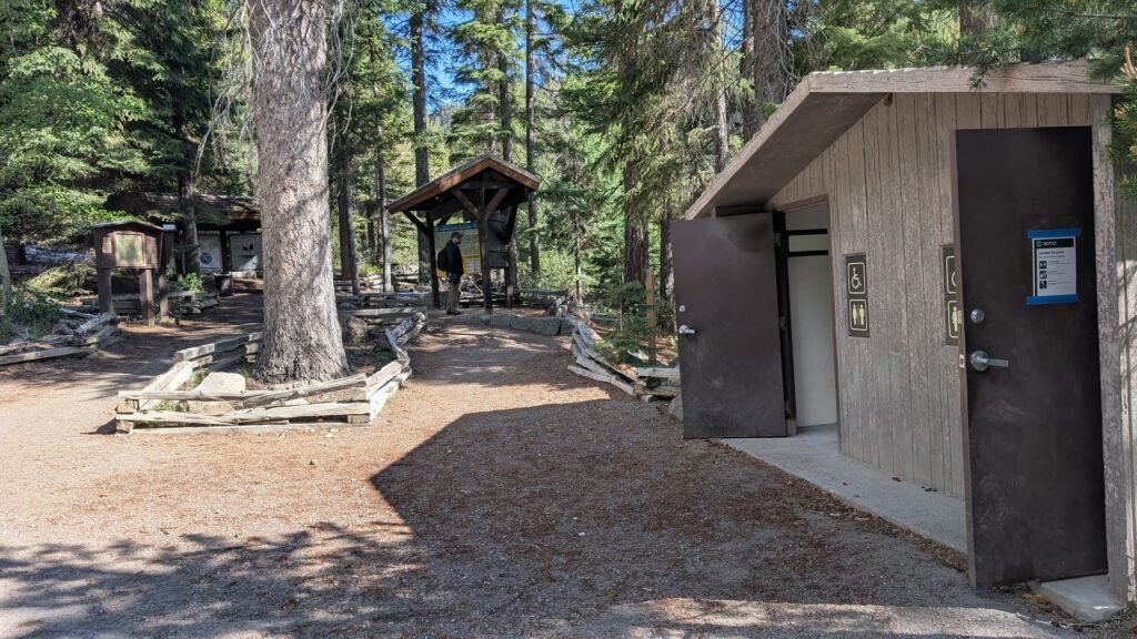
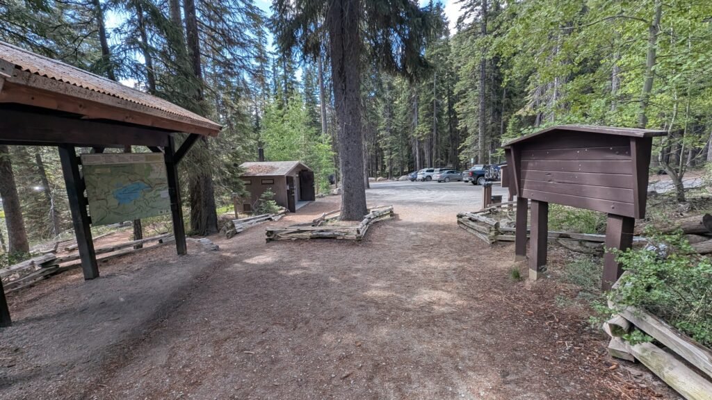
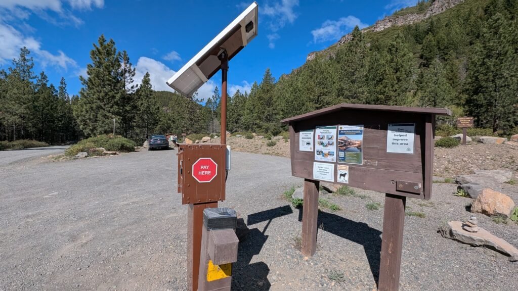
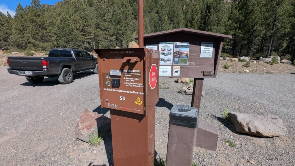
Northwest Forest Pass or $5 day-use fee required at the trailhead. Vault toilets available at the trailhead.
The Falls and Trail Options
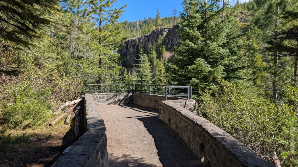
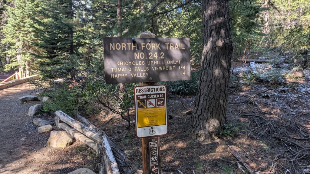
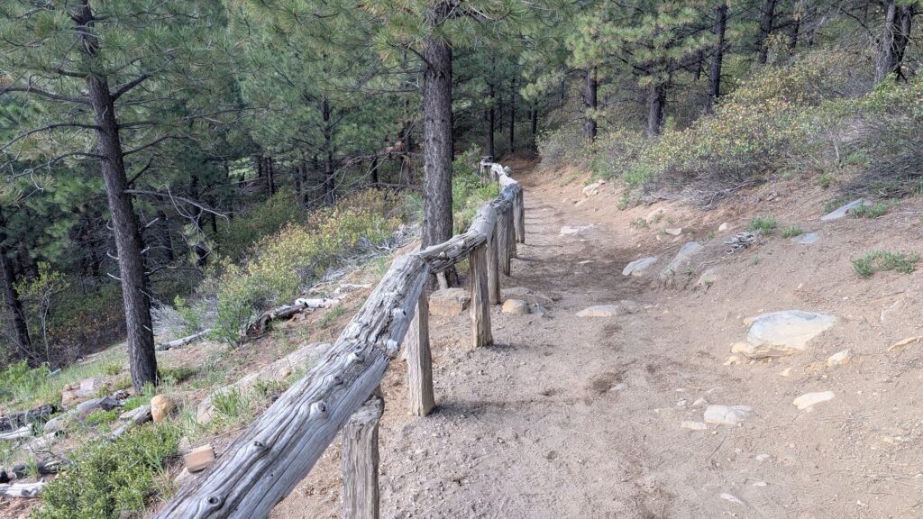
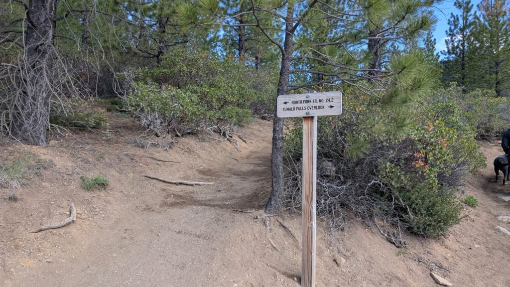
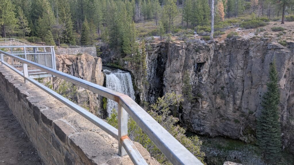
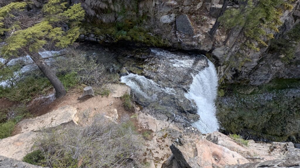
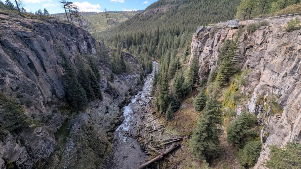
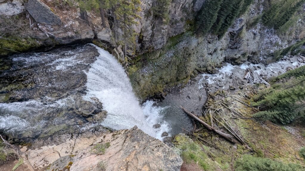
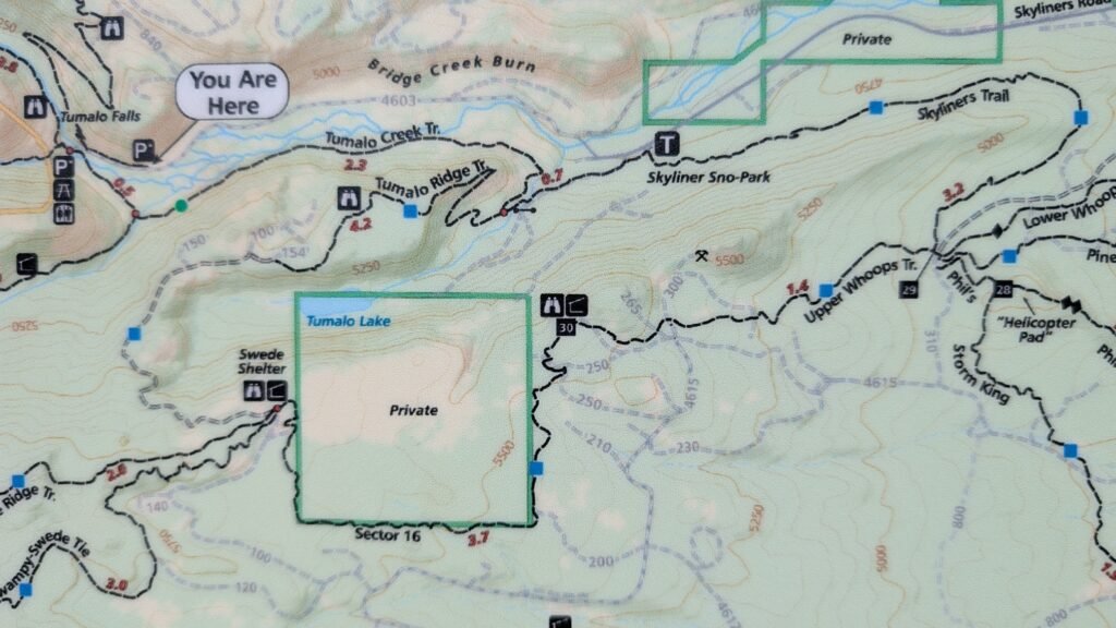
Main viewpoint (most popular — a few steps from the parking area): The 97-foot falls is visible from the trailhead itself, making this one of the most accessible tall waterfalls in Oregon. A short flat path from the parking area reaches the primary viewpoint at the base of the falls. The USFS has also developed a viewpoint at the top of the falls approximately 0.5 miles up the North Fork Trail — an easy climb that gives an entirely different perspective looking out over the canyon.
Tumalo Falls and Double Falls (2.1 miles, Easy): Continue up the North Fork Trail past the falls overlook to reach Double Falls, the second major waterfall on the loop. This is the recommended short hike for visitors who want more than the main viewpoint without committing to the full loop. Allow 1–1.5 hours.
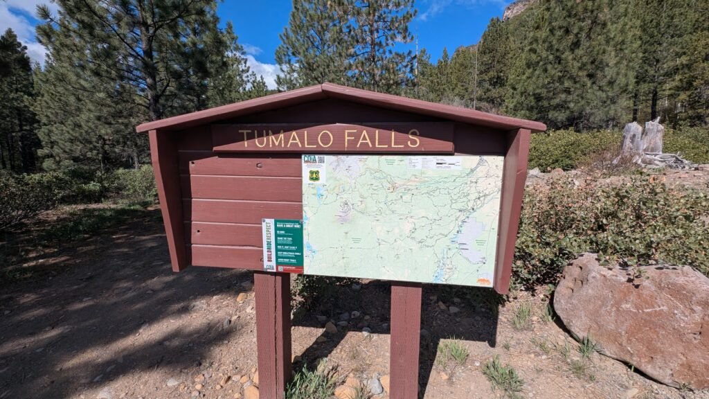
Tumalo Falls Loop (7.5 miles, Moderate, 3.5–4 hours): The full loop combines the North Fork Trail (#24.2), Swampy Lakes Trail, and Bridge Creek Trail in a circuit that passes six or more named and unnamed waterfalls. Highlights in order from the trailhead:
- Tumalo Falls (97 ft) — viewpoint a few steps from the car
- Tumalo Falls overlook — top of falls, 0.5 miles
- Double Falls
- Upper Tumalo Falls
- North Fork Falls
- Bridge Creek Falls — on the return loop
AllTrails reviewers note the second half of the loop is less scenic than the first — the waterfalls are concentrated in the first half along the creek. The Swampy Lakes Trail section requires crossing Middle Fork Tumalo Creek without a bridge — expect to wade through thigh-to-waist-deep cold water (approximately 50 feet) or balance-walk a downed log. Trekking poles are strongly recommended. About 300 yards past the Swampy Lake Trail junction, a signed spur leads to Happy Valley — a beautiful meadow that is worth the brief side trip.
Recent reviewers also report numerous downed trees on the second half of the loop requiring crawling over, under, or around — current as of May 2026.
⚠️ City of Bend Watershed — Important Rules
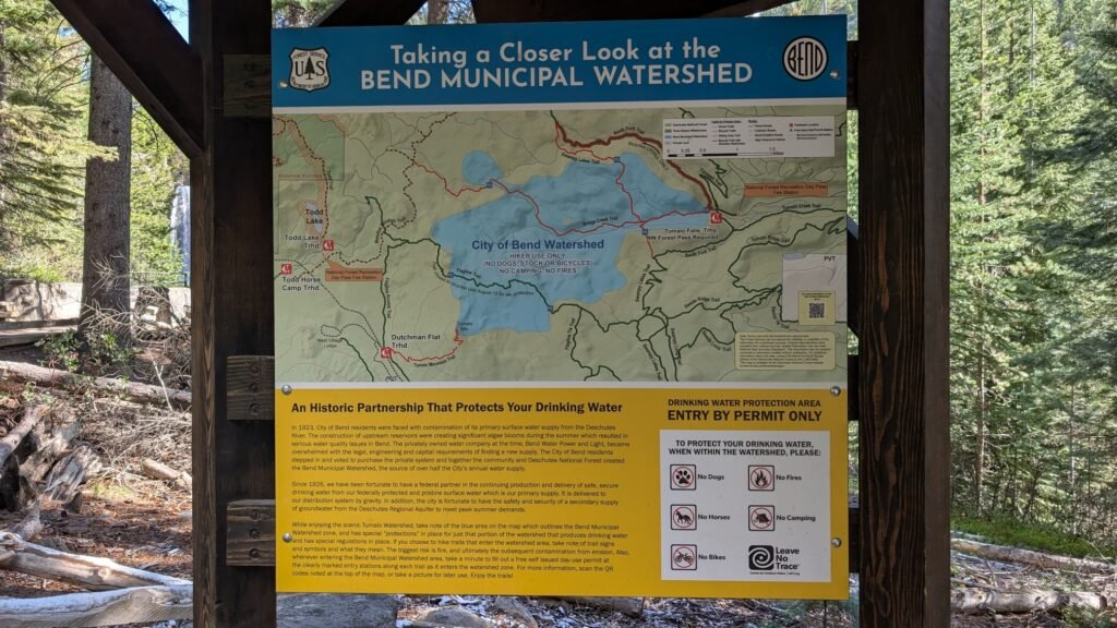
The Bridge Creek Trail section of the loop passes through the City of Bend Watershed, which begins approximately 1 mile past the Swampy Lake Trail trailhead along Bridge Creek Trail. The watershed zone continues to the return junction with the North Fork Trail.
Within the watershed, the following are strictly prohibited:
- Dogs (dogs are permitted on the first part of the loop only, before entering the watershed)
- Horses
- Mountain bikes
- Camping
- Fires
Hiking only in the watershed. Respect these rules — the watershed supplies Bend’s drinking water. Leave your dog at home if you plan to do the full loop.
Best Time to Visit
Spring (April–June): Peak flows — the 97-foot falls is at its most dramatic; waterfall loop waterfalls all running strongly; trail can have snow on the upper loop through late May or early June; trekking poles recommended.
Summer (July–August): Most popular season; strong flows continue through early summer then moderate; arrive before 8 AM on weekends for parking; bring bug spray for creek sections.
Fall (September–October): Excellent conditions; crowds diminish after Labor Day; flows remain good; ponderosa pine forest beautiful in fall light; seasonal road closure begins with winter snowfall.
Winter: The access road is seasonally closed due to snow — typically November through April or May depending on snowpack. Check USFS Deschutes alerts for current road status. The area is popular with snowshoers and cross-country skiers after the road closes.
Nearby Attractions
- Skyliners Trail Network (near the Skyliners Road turnoff — mountain biking and hiking)
- Shevlin Park (paved and natural trail along Tumalo Creek, closer to Bend)
- Phil’s Trail System (Bend’s premier mountain bike trail network)
- Cascade Lakes Scenic Byway (~30 minutes west — Bachelor, Three Sisters, Sparks Lake, Elk Lake)
- Bend Old Mill District and Deschutes River Trail (urban waterfront)
- Mount Bachelor (~15 miles west)
References
Links:
- USFS Deschutes — Tumalo Falls Day Use Area
- USFS Deschutes — Current Alerts and Road Conditions
- AllTrails — Tumalo Falls Loop (7.5 miles)
- AllTrails — Tumalo Falls and Double Falls (2.1 miles)
- City of Bend — Tumalo Creek Watershed
- Discover NW — Northwest Forest Pass
- Trailhead parking turnoff — Google Maps
- Overflow parking — Google Maps
Books:
- Waterfall Lover’s Guide: Pacific Northwest by Greg Plumb
- 100 Hikes in the Central Oregon Cascades by William L. Sullivan (covers the Tumalo Creek trail corridor in detail)
- Day Hiking: Central Oregon by Craig Romano (includes Tumalo Falls Loop and the North Fork trail network)
- Best Short Hikes in Oregon (various editions) (Tumalo Falls is a standard entry)
Map
Sorry, no records were found. Please adjust your search criteria and try again.
Sorry, unable to load the Maps API.