
Profile
Overview
-
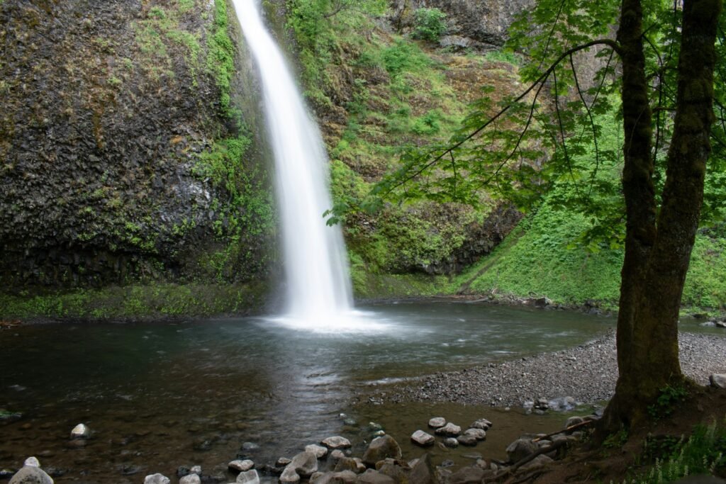
Location: Columbia River Gorge, Oregon
-
Waterfall Type: Horsetail / Plunge
-
Height: ~176 feet
-
Trail Distance: ~0.3 miles round-trip to lower falls; longer hikes available
-
Difficulty: Easy
-
Best Time to Visit: Spring through early summer
History & Background
Horsetail Falls is a classic Columbia River Gorge waterfall located directly along the Historic Columbia River Highway. Its name comes from the narrow, ribbon-like shape of the waterfall, which resembles a horse’s tail as it descends the cliff face. Due to its roadside accessibility, Horsetail Falls has long been a popular stop for travelers exploring the Gorge.
Geology
Horsetail Falls flows over layers of Columbia River Basalt formed by massive lava flows millions of years ago. The waterfall’s slender profile is shaped by the narrow channel of Horsetail Creek, which cuts through the basalt cliff. The surrounding rock walls display the columnar and layered formations characteristic of Gorge geology.
Directions & Access
-
Nearest City: Cascade Locks, OR
-
Trail Information:
-
Short, well-maintained trail to the base of the lower falls
-
Trail continues steeply to Upper Horsetail Falls
-
-
Parking:
-
Roadside parking area along the Historic Columbia River Highway
-
Limited spaces; overflow parking may require caution
-
-
Accessibility:
-
Not wheelchair accessible
-
Uneven and sometimes slick trail surfaces
-
Best Time to Visit
-
Spring: Peak flow from rain and snowmelt; most impressive conditions
-
Summer: Lower but consistent flow; popular with visitors
-
Fall: Reduced flow with fewer crowds and autumn color
-
Winter: Ice formations possible; icy trails and runoff hazards
Nearby Attractions
-
Ponytail Falls
-
Oneonta Gorge (closed)
-
Multnomah Falls
-
Wahkeena Falls
References
-
Links:
-
Books:
-
Oregon Waterfalls by Greg Plumb
-
Waterfall Lover’s Guide: Pacific Northwest
-
Map
Sorry, no records were found. Please adjust your search criteria and try again.
Sorry, unable to load the Maps API.